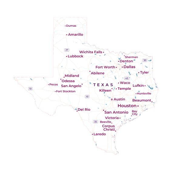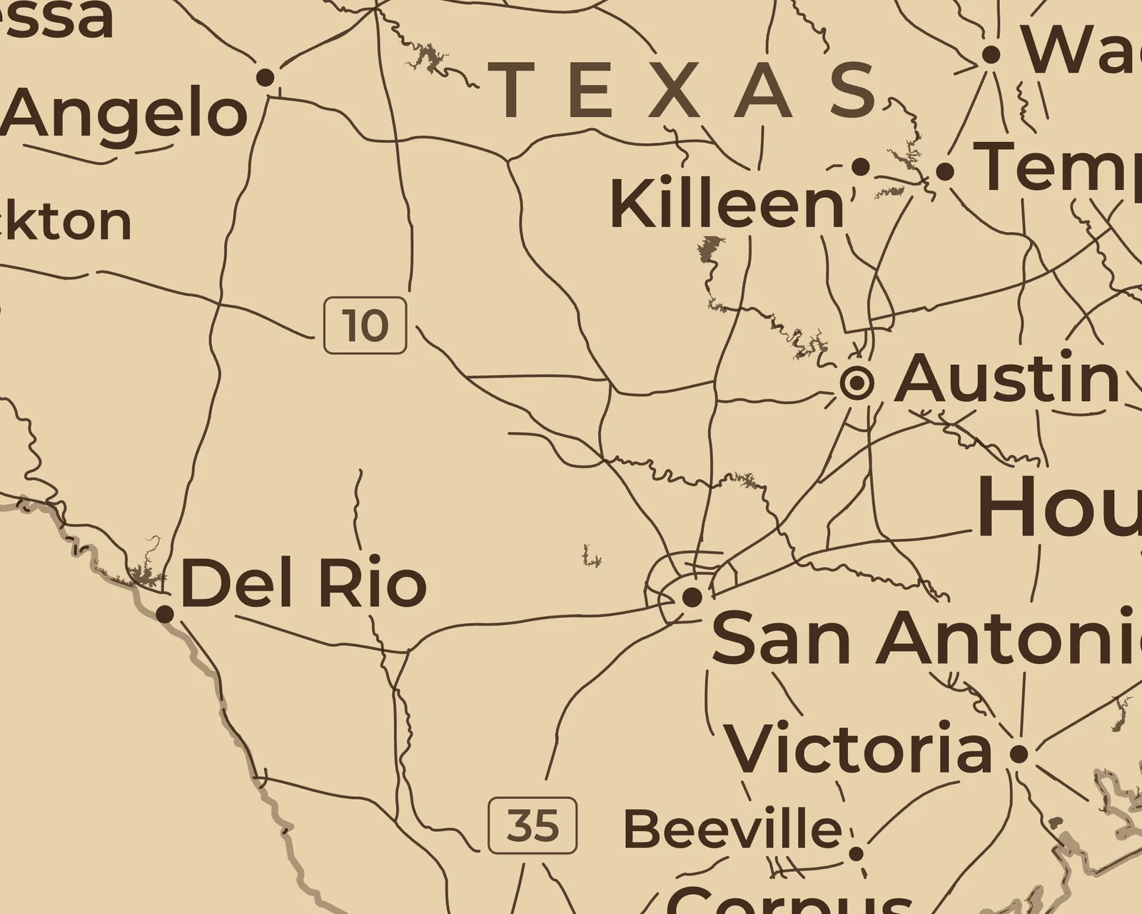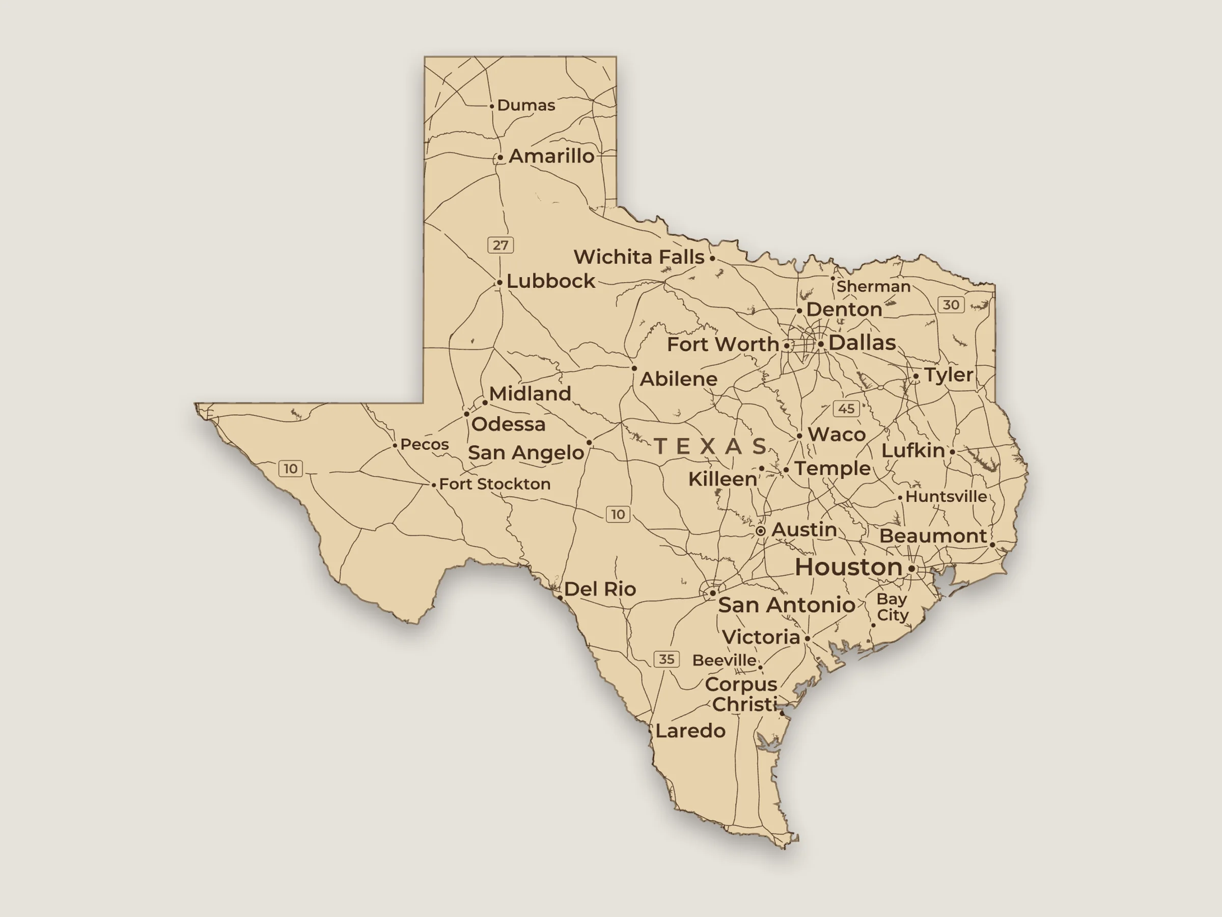
Texas, cut along the state line
Picked from the place search. The cut follows the state line instead of going around a square. Towns with dots and interstate numbers inside. On birch.
 SVGmap
Maps made with SVGmap from OpenStreetMap data, for laser engraving, pen plotters and print. Laser pieces are shown the way the preview shows them on wood, leather, slate or acrylic. Click a picture to see it bigger.
Open in SVGmap opens a map in the app with the same settings and material, to change it or
download it. It replaces the map you have open there, and the notice that comes up can put your own place
back. Use this style keeps the place you have open, with its title, routes and pins, and changes
everything else to match, like the size, colors, layers and title style. Neither changes your export options.
These were made in October 2026, so the map data may have changed since.
Picked from the place search. The cut follows the state line instead of going around a square. Towns with dots and interstate numbers inside. On birch.
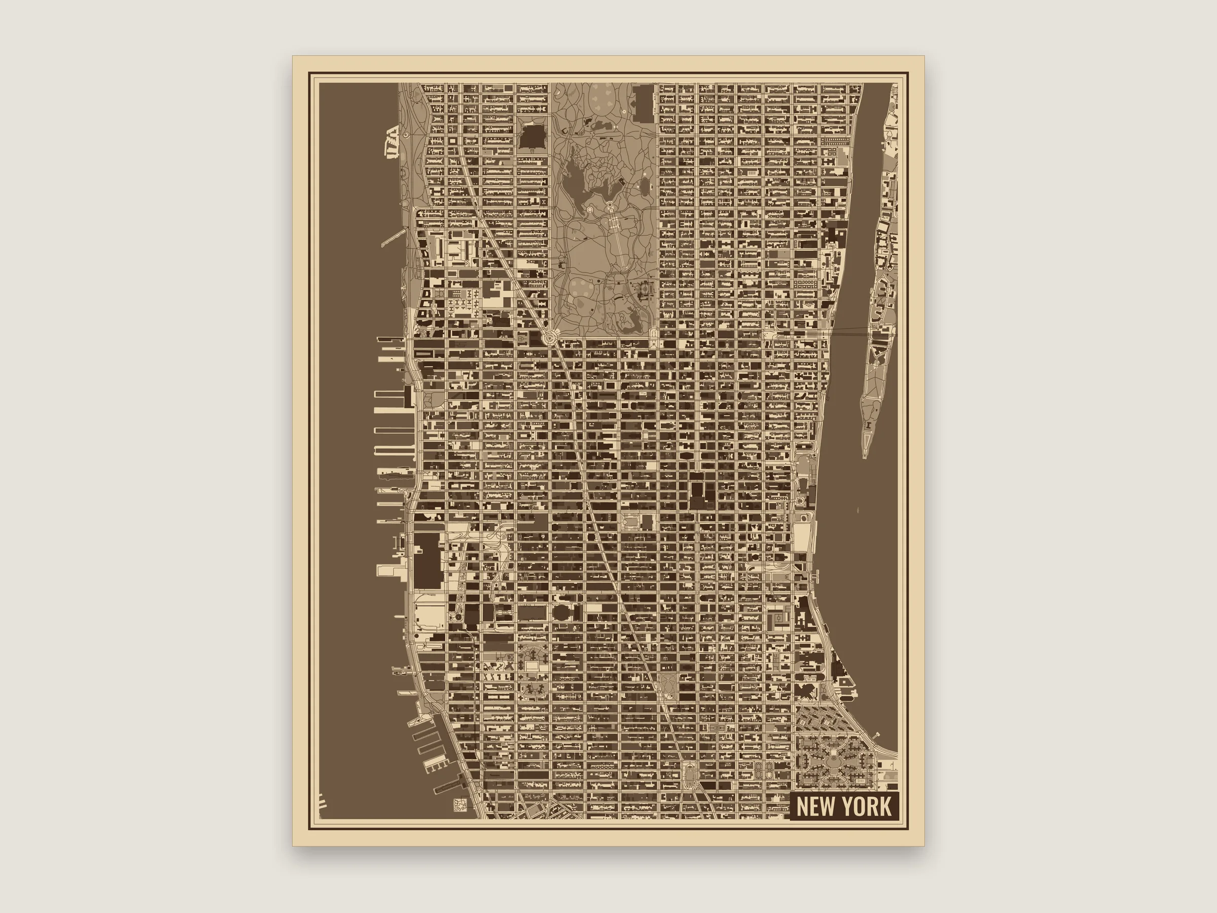
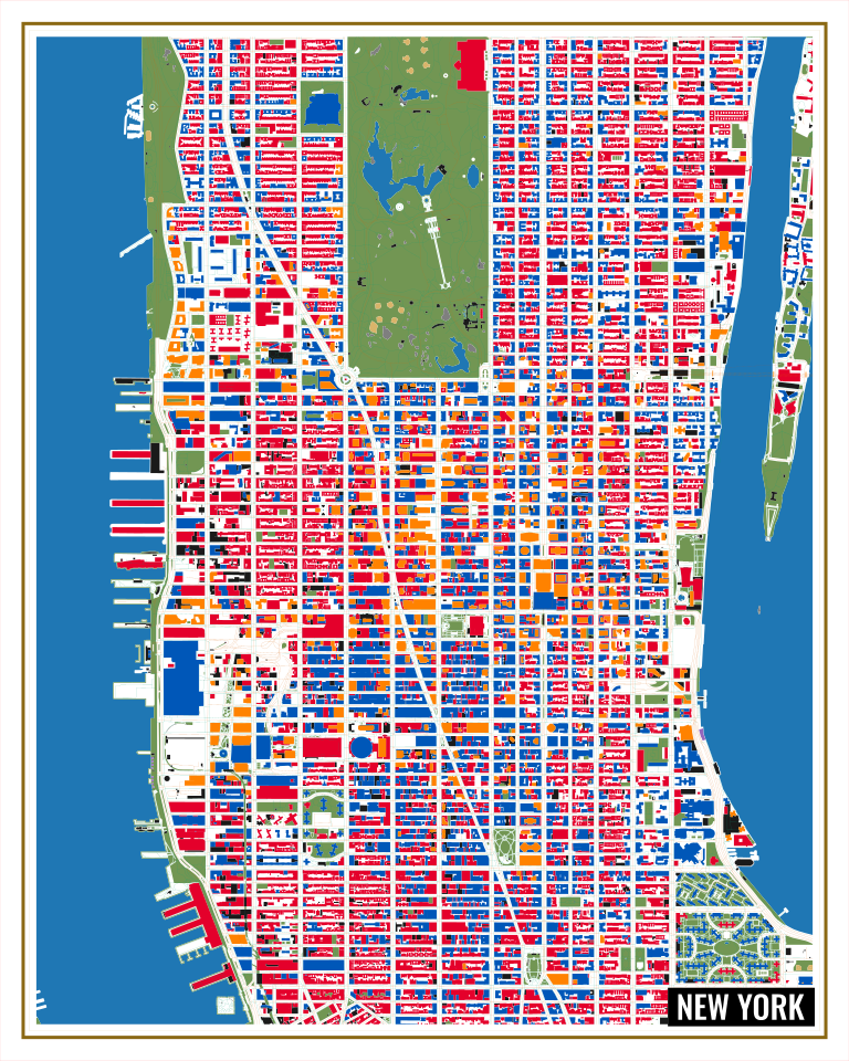
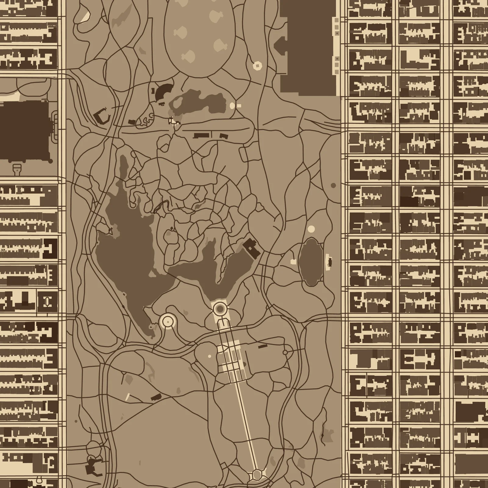
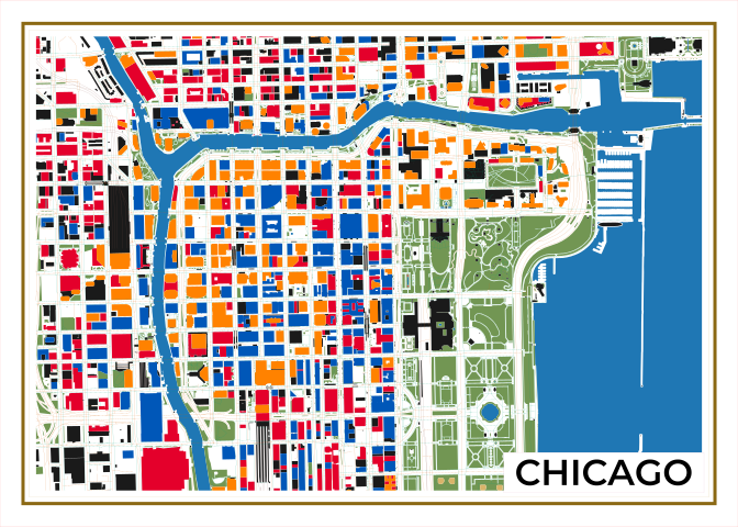
Midtown up to Harlem, turned 29° so the grid runs straight. Each height of building has its own color, so the towers can be engraved deeper.
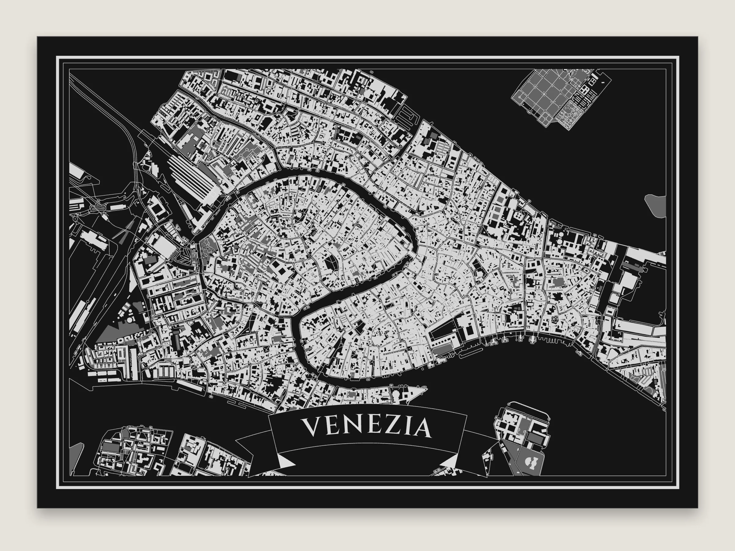
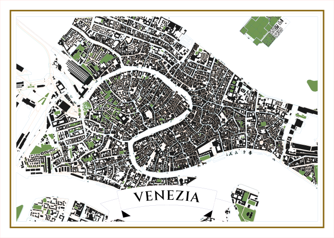
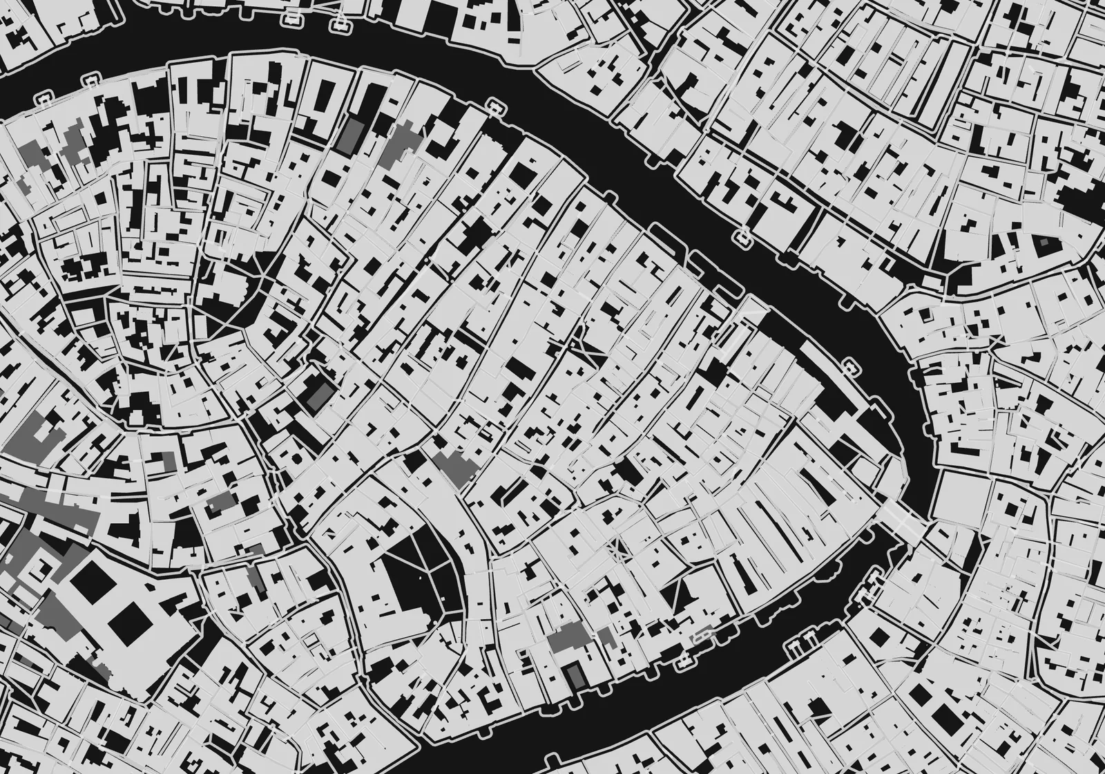
The canals are outlined instead of engraved, so the water stays dark and the islands come out light.
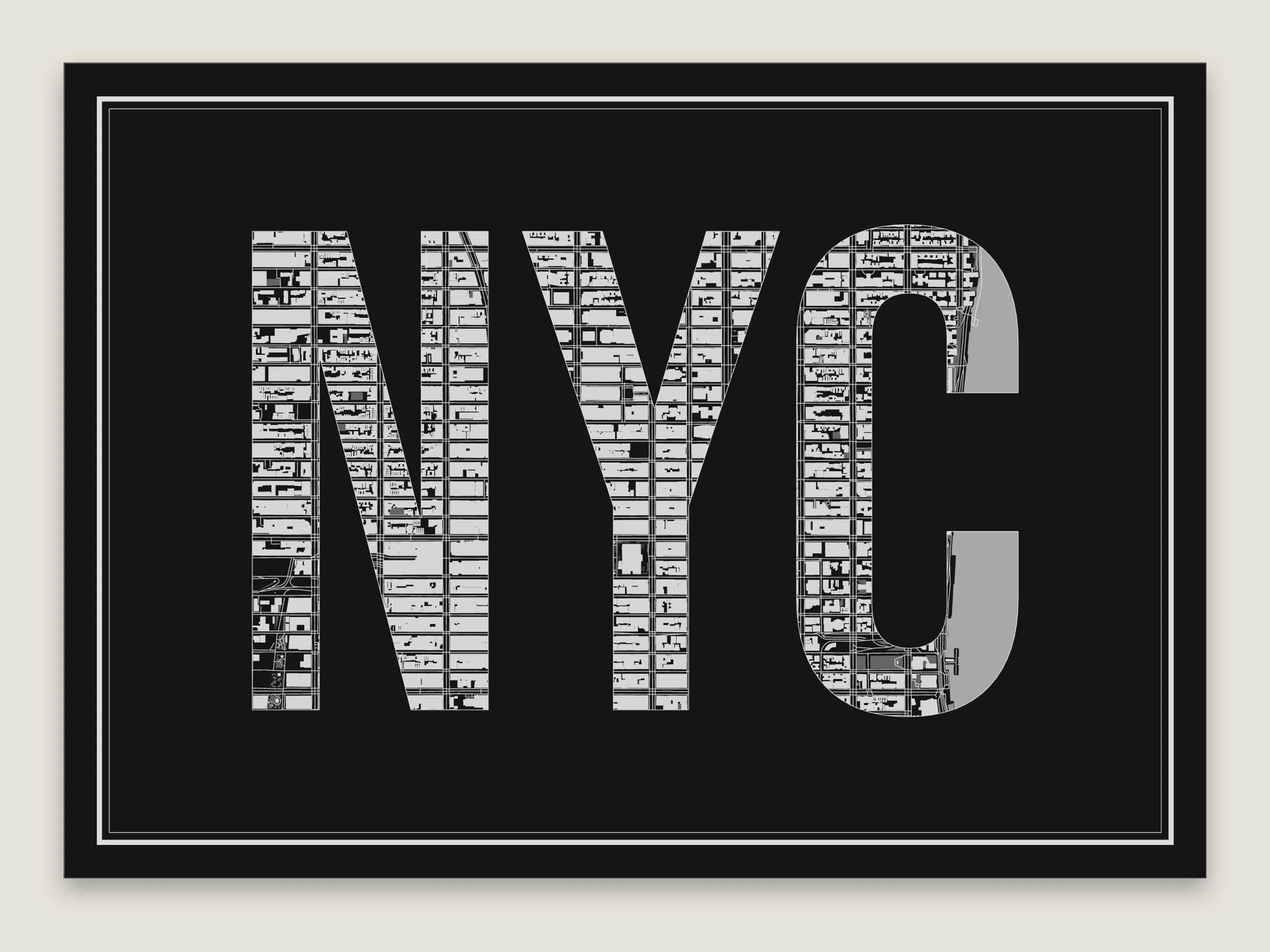
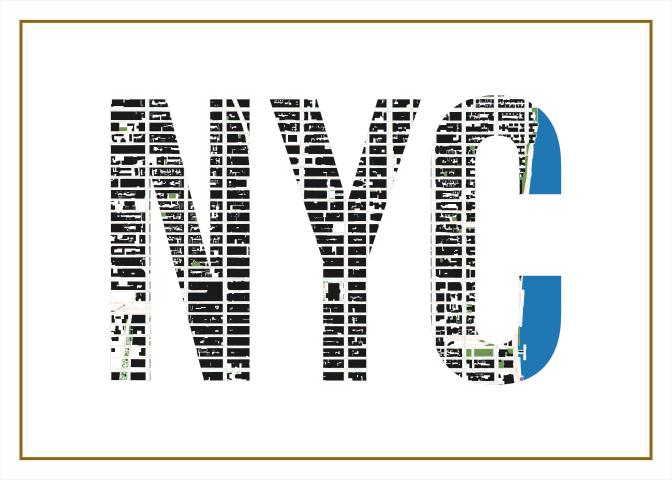
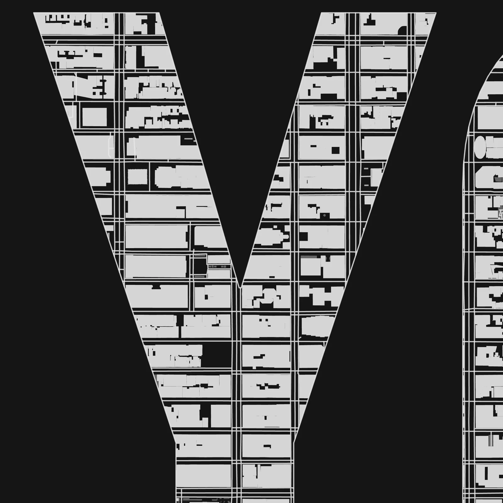
The Map in letters title. The map only shows inside the letters. Midtown on black acrylic.
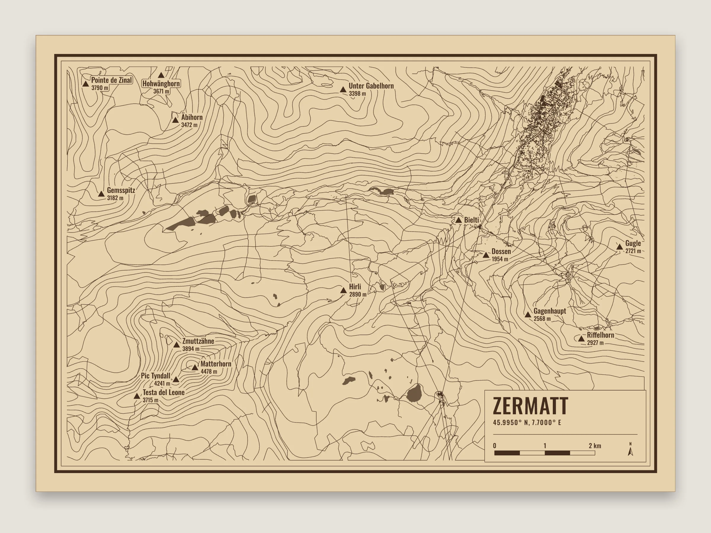
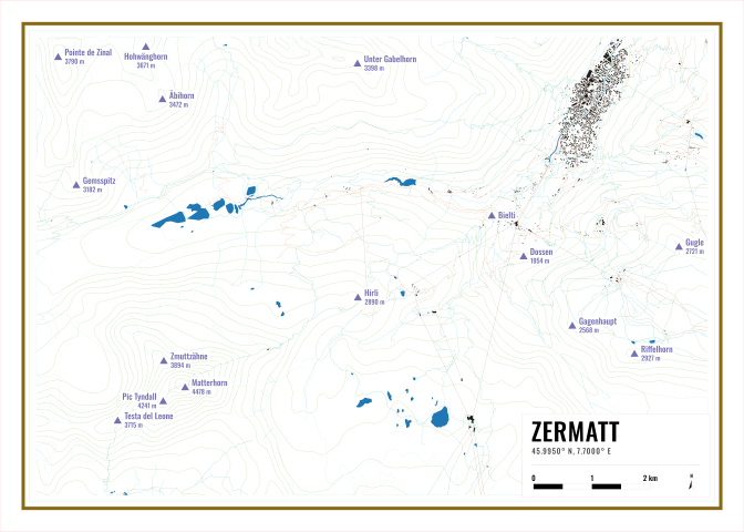
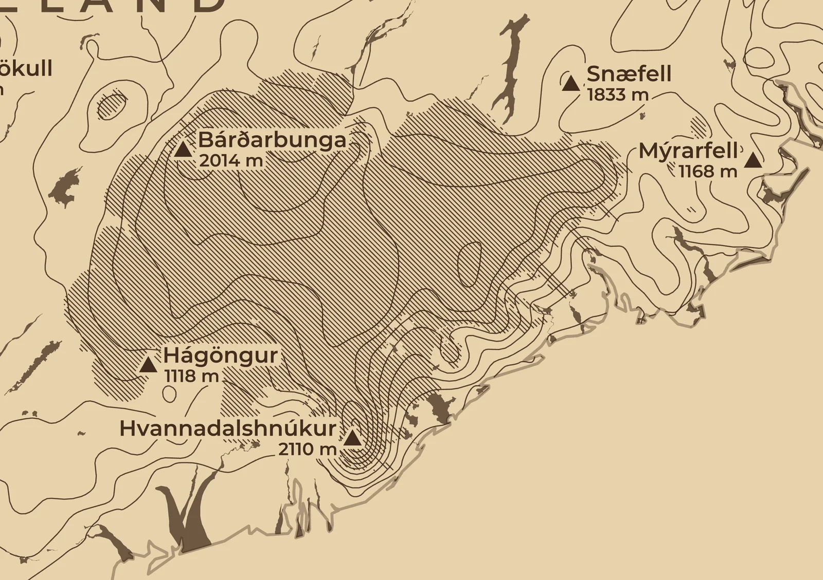
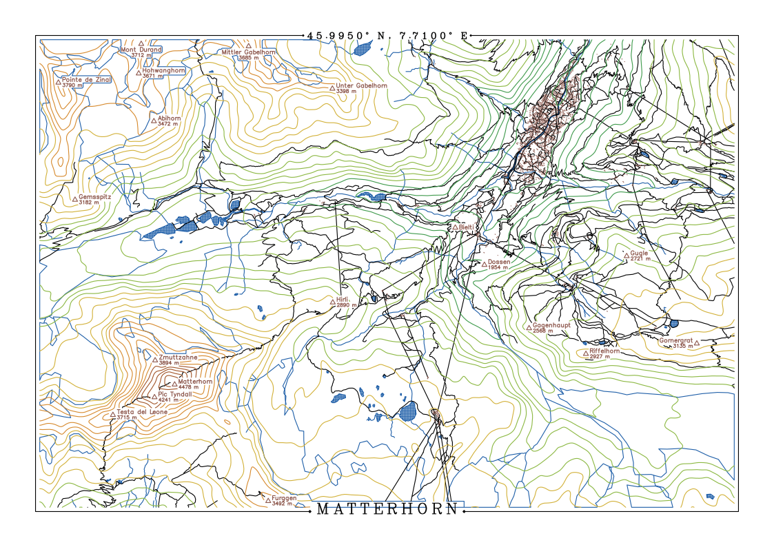
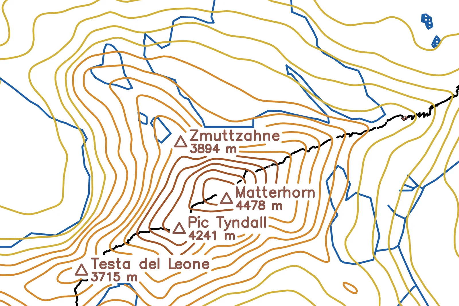
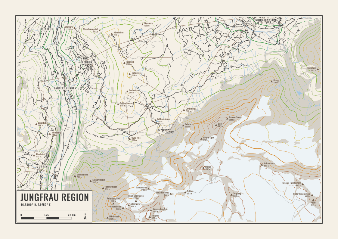
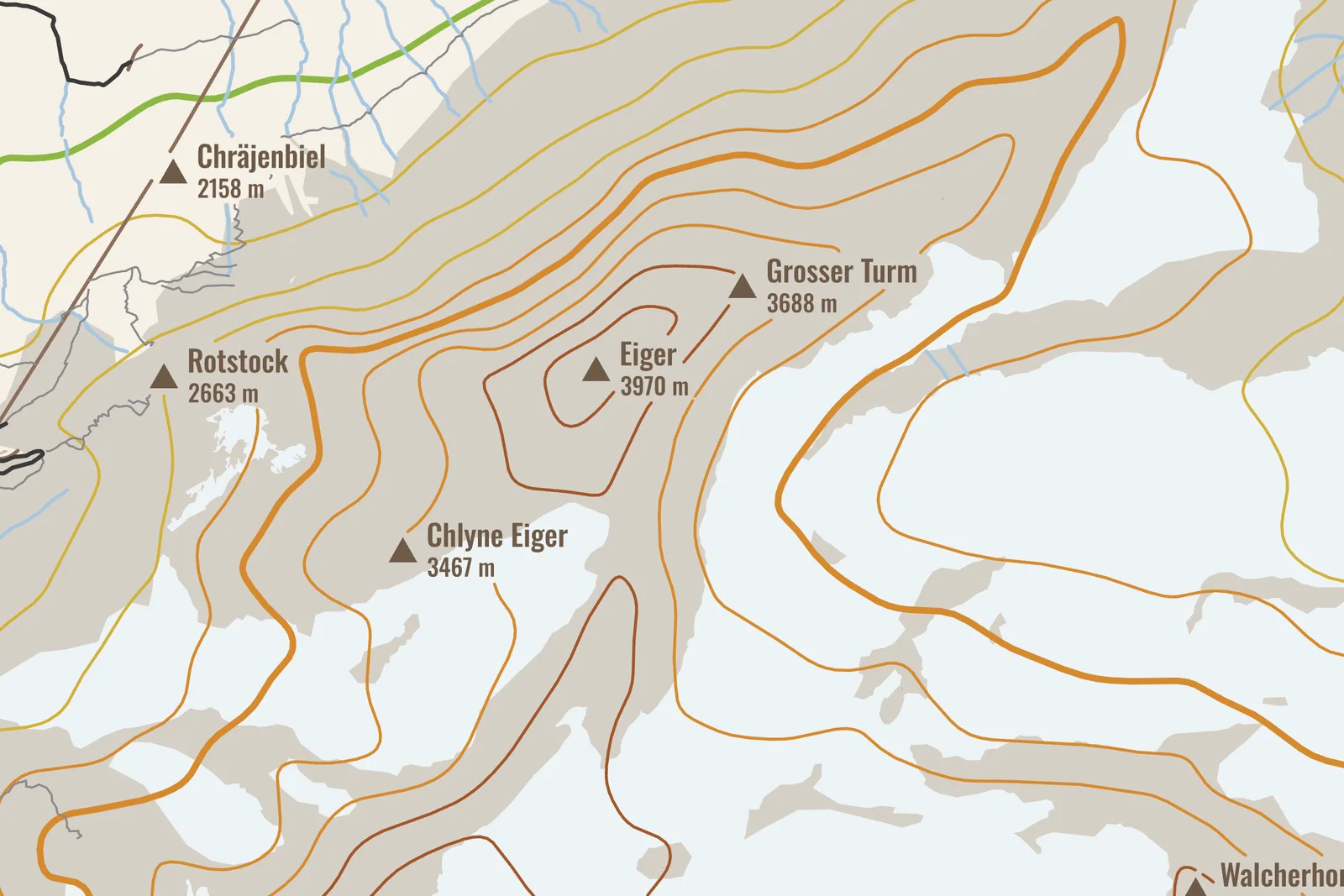
Elevation lines, glaciers and the peaks with their heights, from the Hills setup. The legend has the scale bar and north arrow.
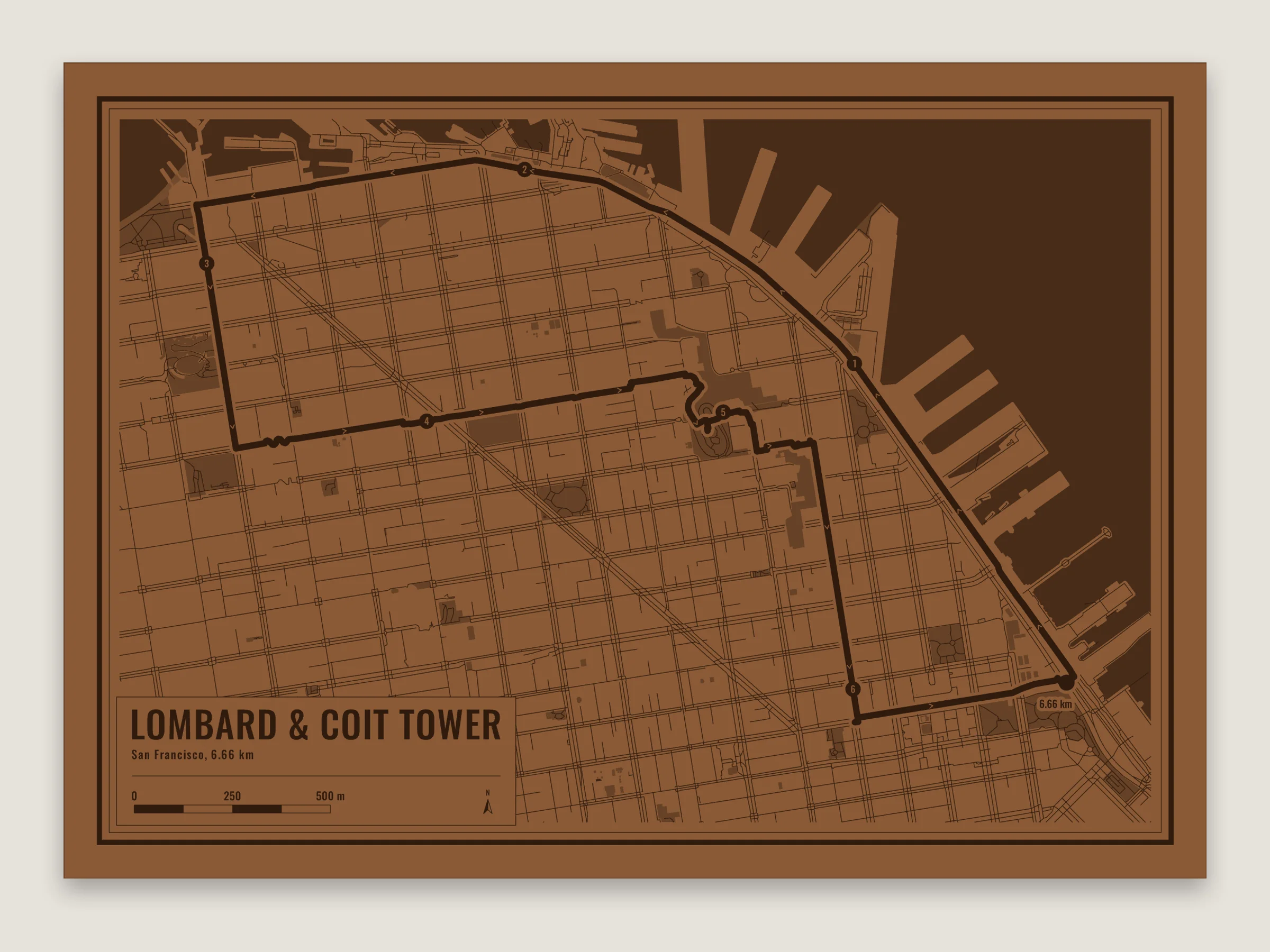
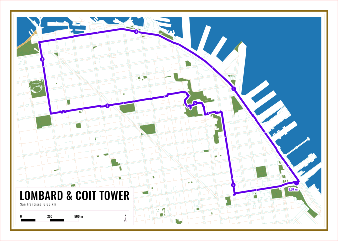
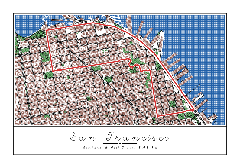
A 6.7 km loop down the crooked part of Lombard Street and up to Coit Tower. Numbered dots every kilometer, arrows for the direction and the total at the finish. Buildings are off so the route stands out.
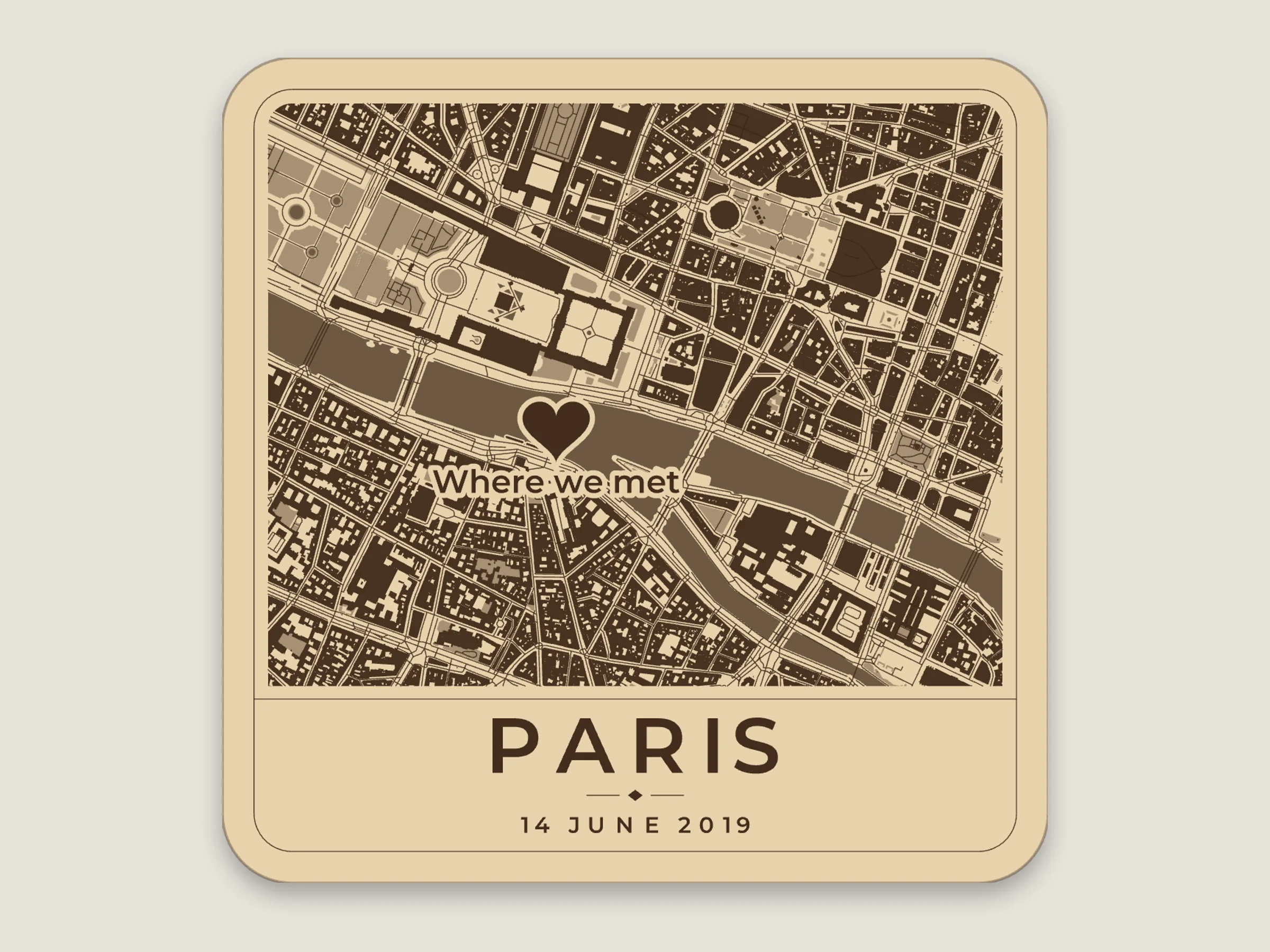
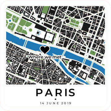
A heart pin with its own text and the date in the subtitle, on a 95 mm square coaster.
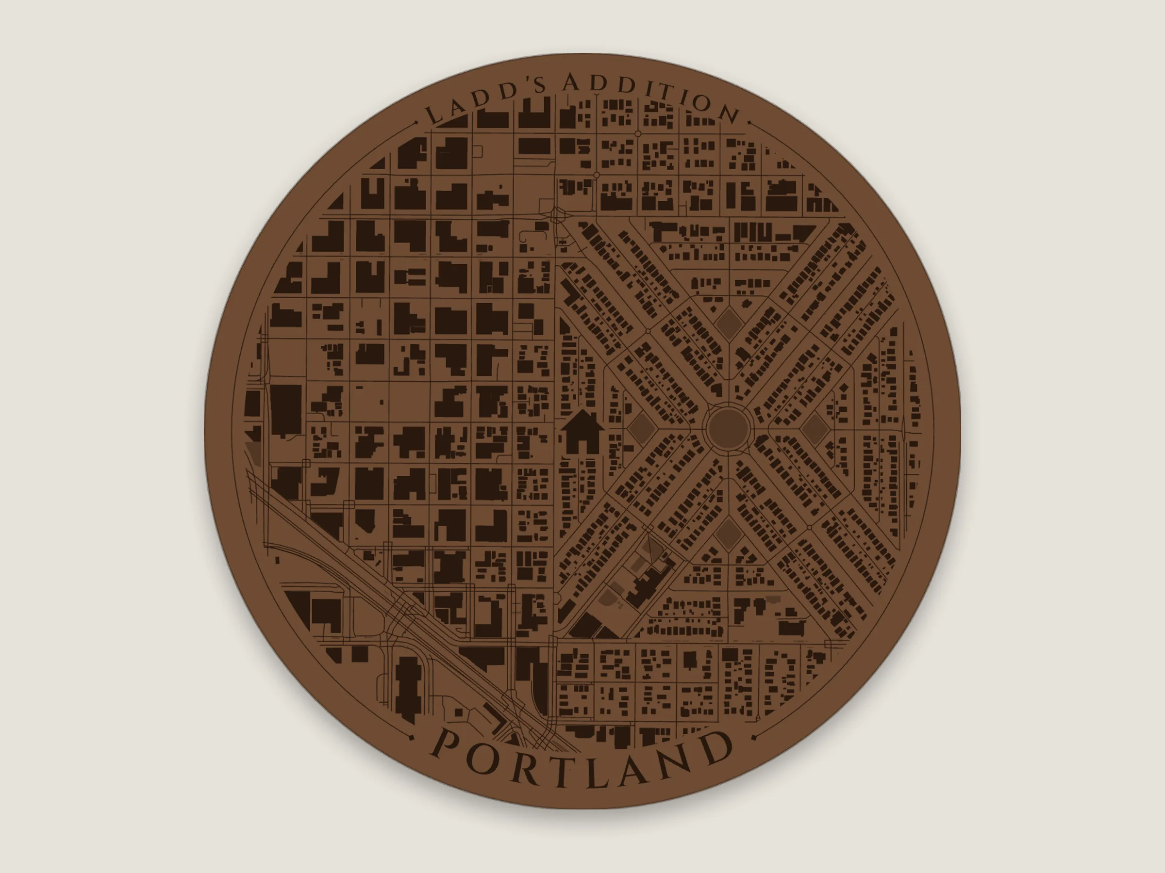
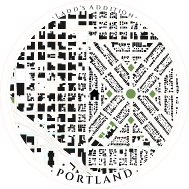
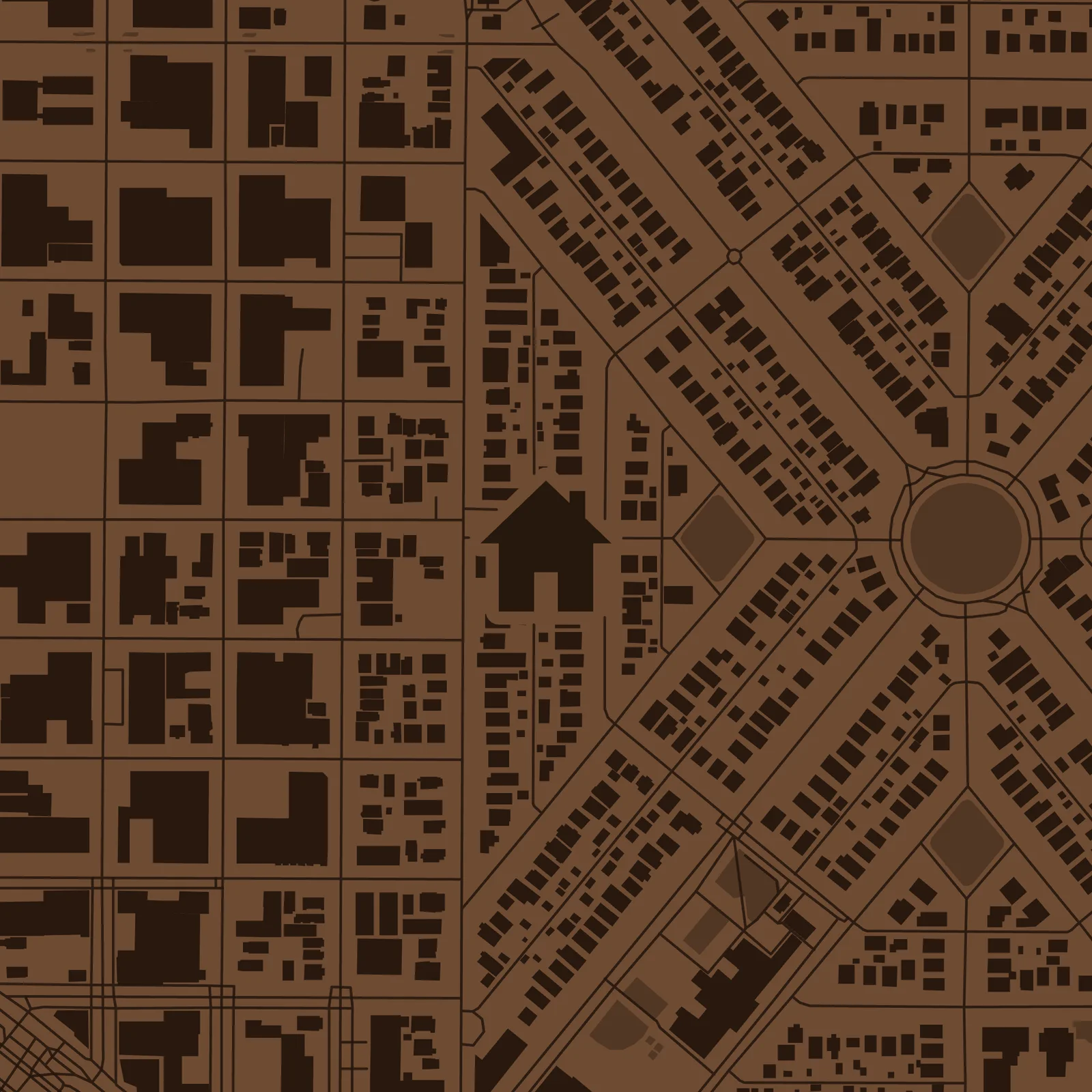
Ladd's Addition on a 100 mm round coaster, with a house on the spot and the title following the rim. On walnut.
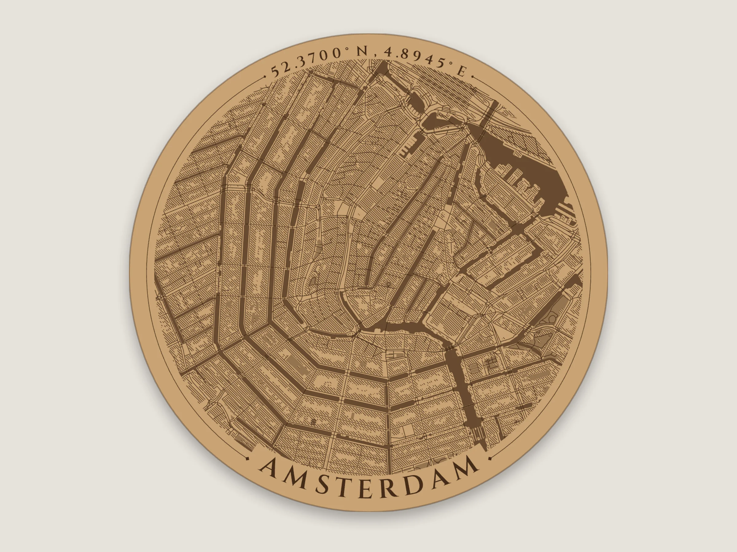
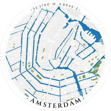
The canal ring on a 100 mm coaster. The buildings are hatched, which engraves lighter than solid.
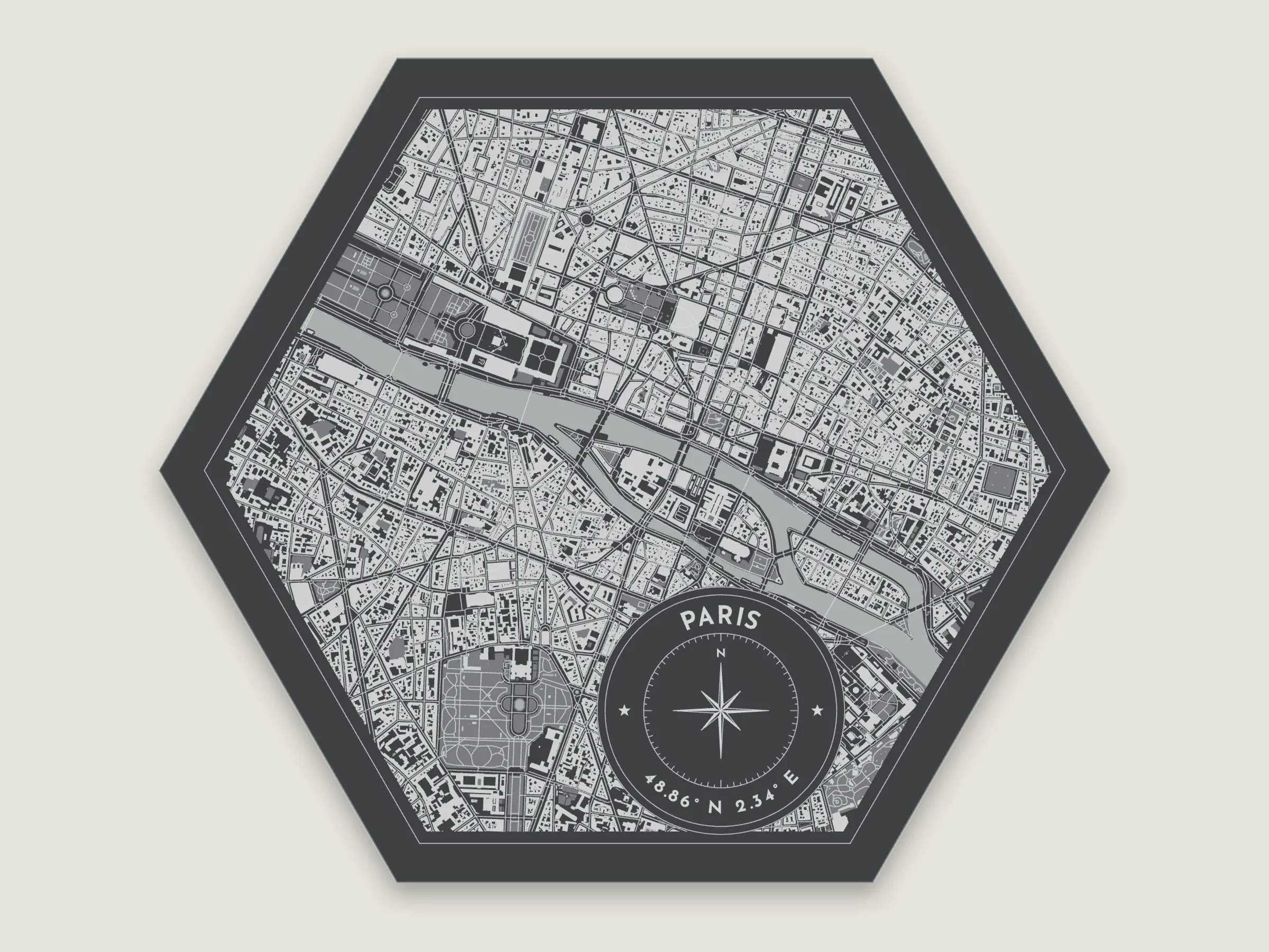
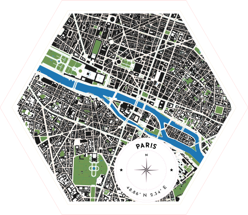
A hexagon with the compass seal title. The compass points to true north if the map is turned.
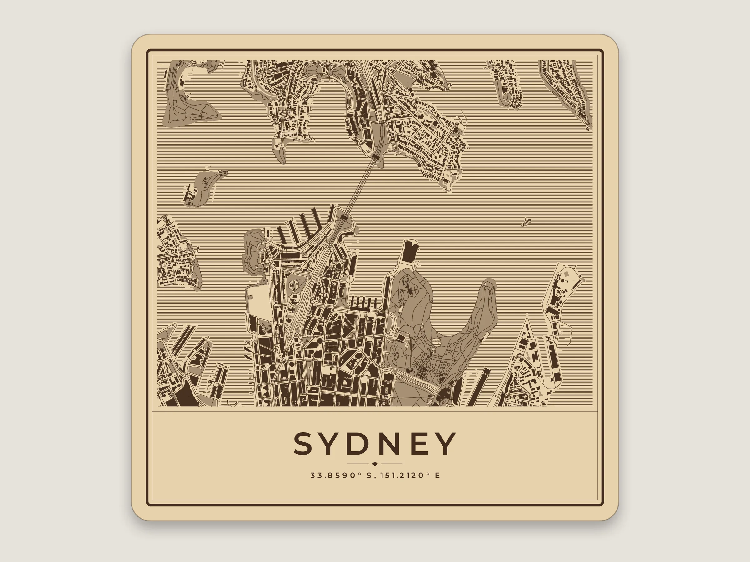
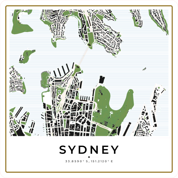
Circular Quay and the Harbour Bridge on a 150 mm tile, with the harbour hatched.
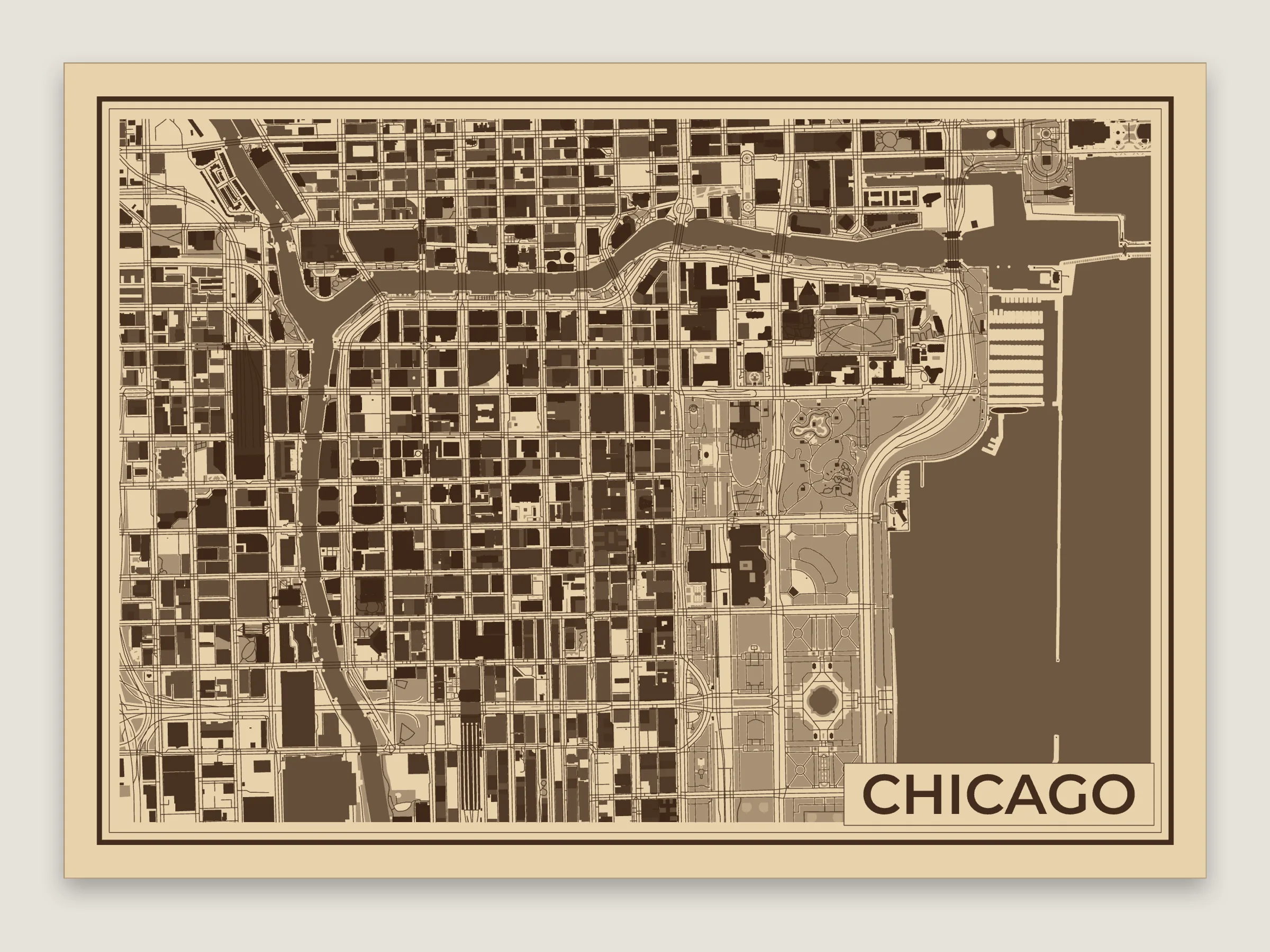
The plaque the app starts with, with the buildings split by height.
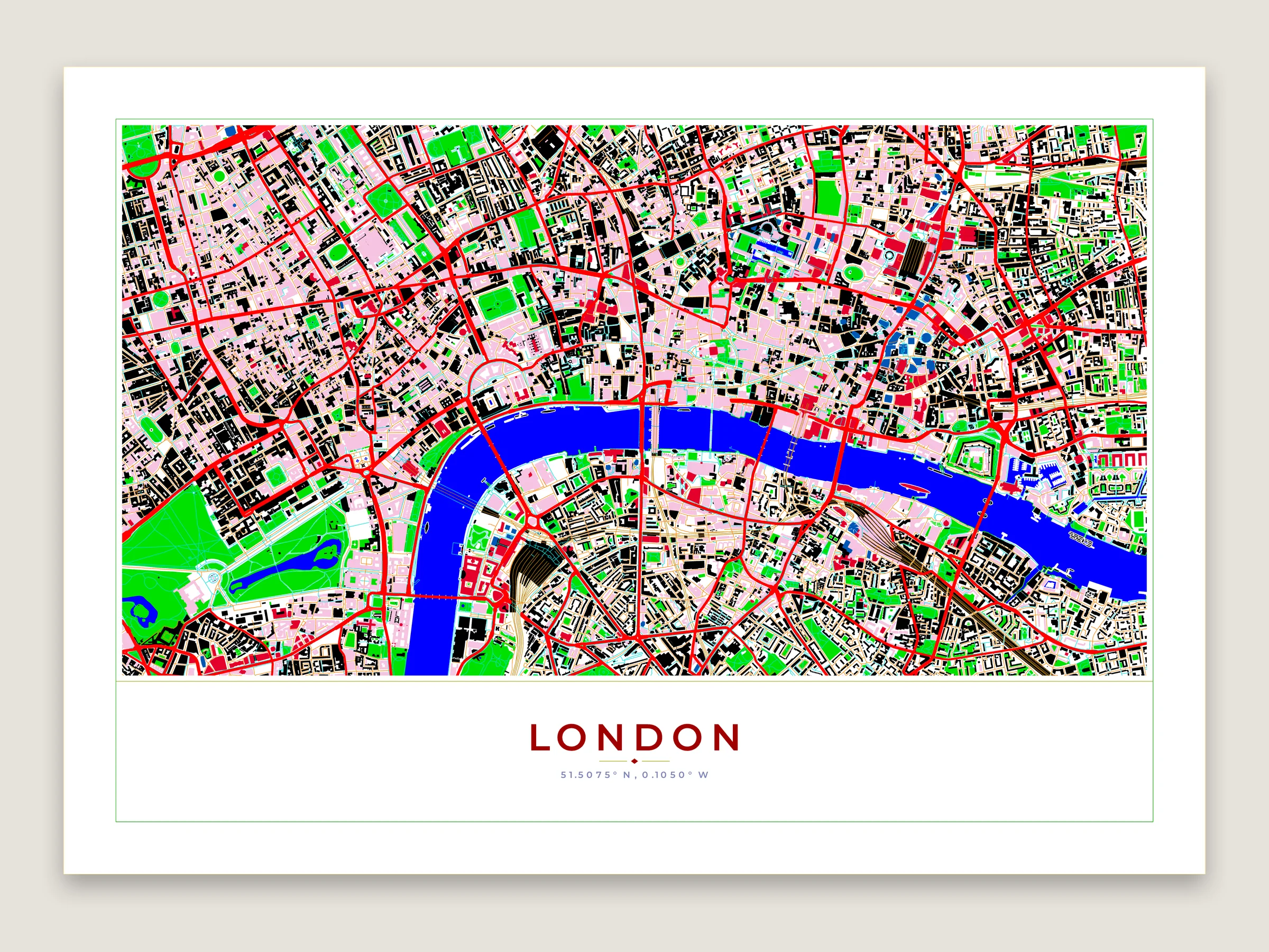
The preview in the colors that go in the file instead of a material. On the LightBurn palette each layer lands on its own LightBurn layer. The main roads are engraved bands.
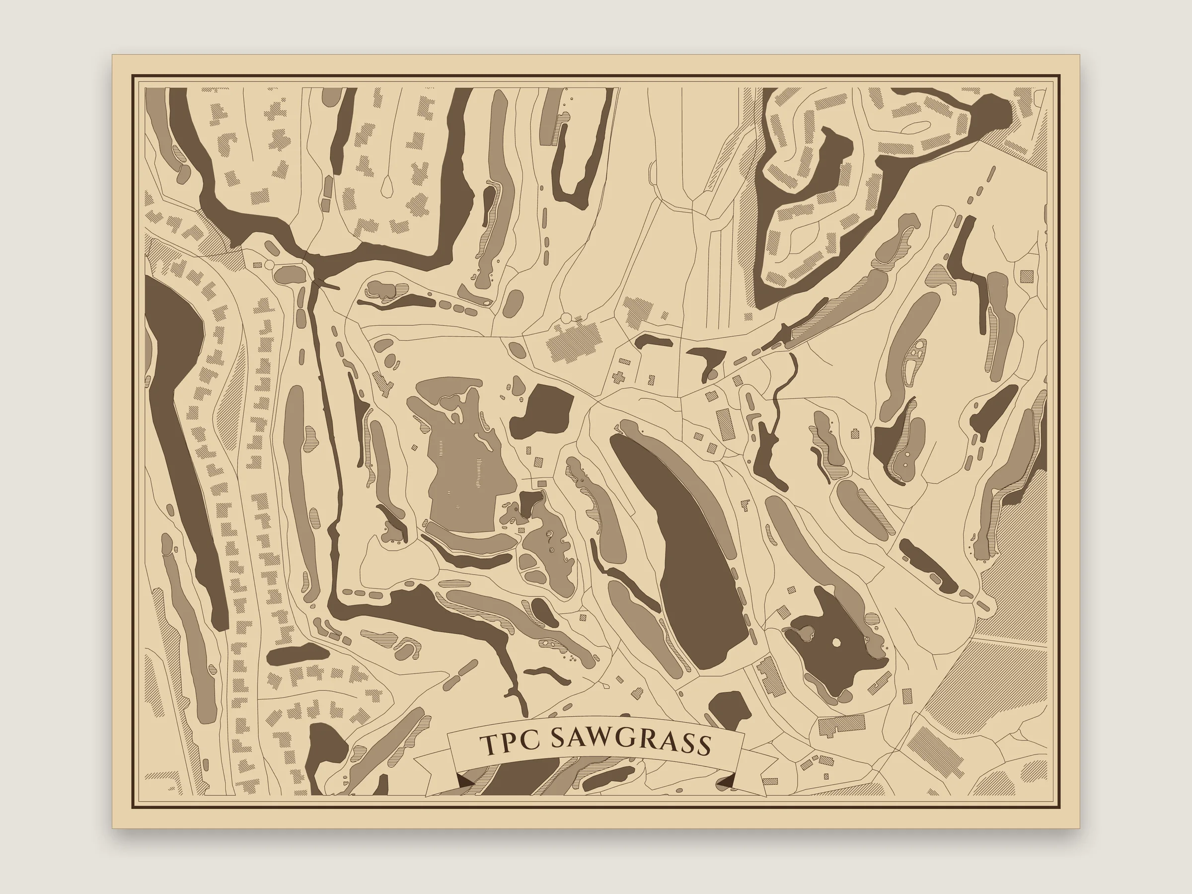
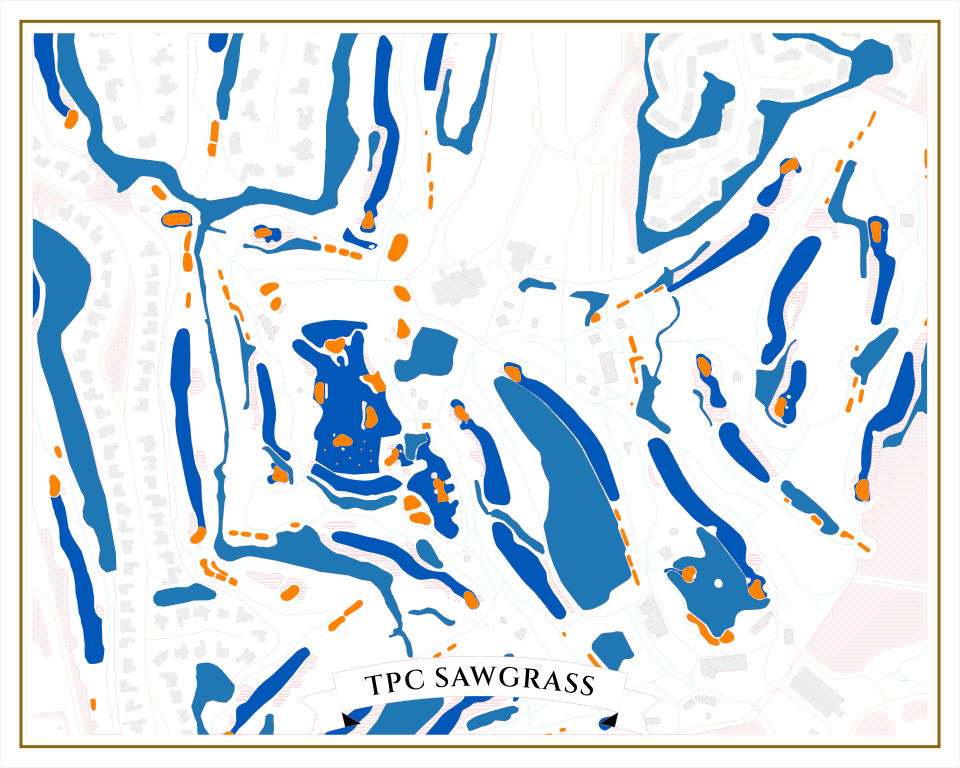
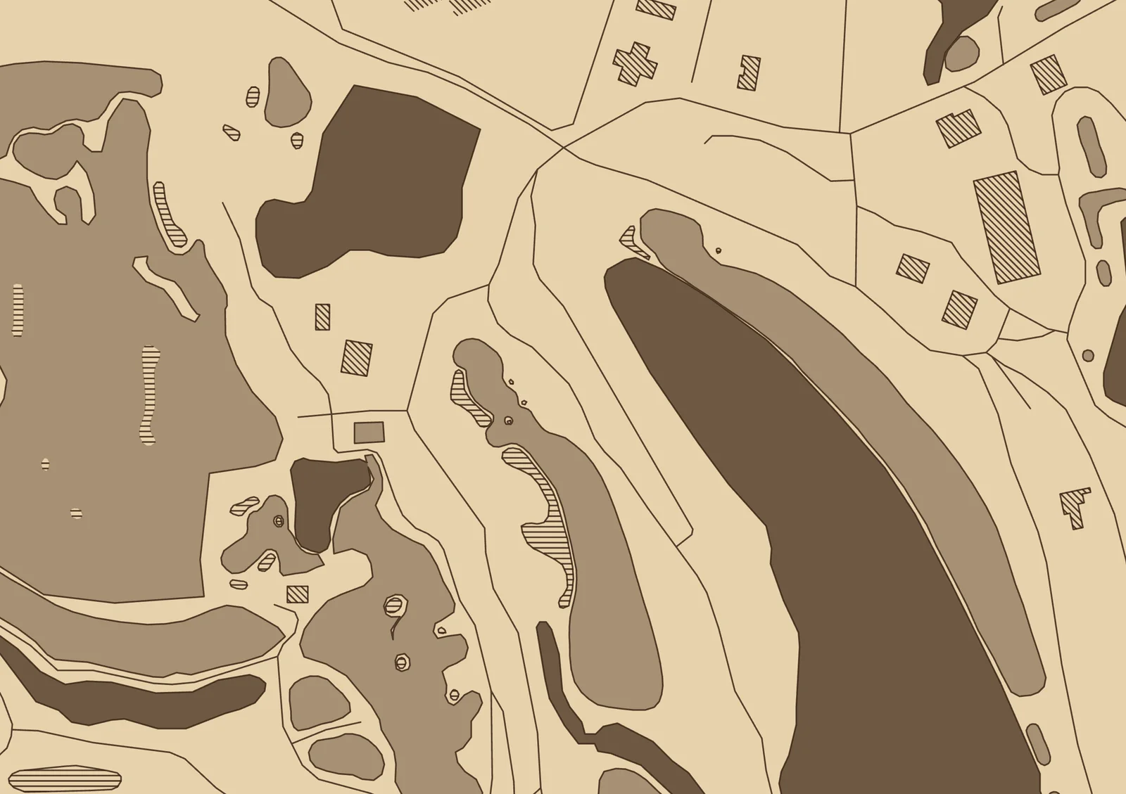
The golf course setup. The fairways and greens each have a color of their own, so they can be engraved to different depths, and the bunkers and buildings are hatched. The ponds of the Stadium Course are engraved solid. On birch.
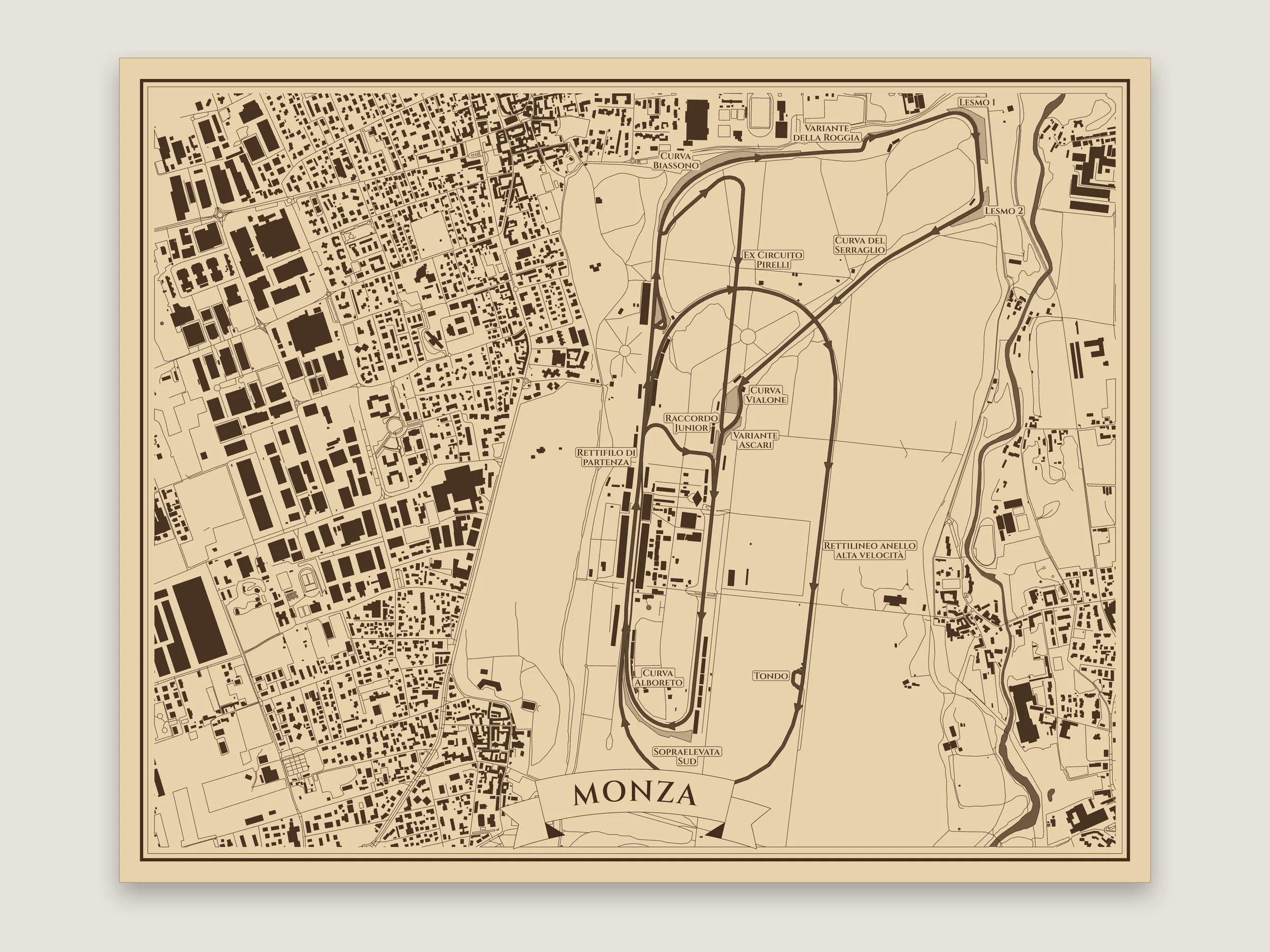
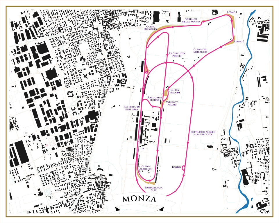
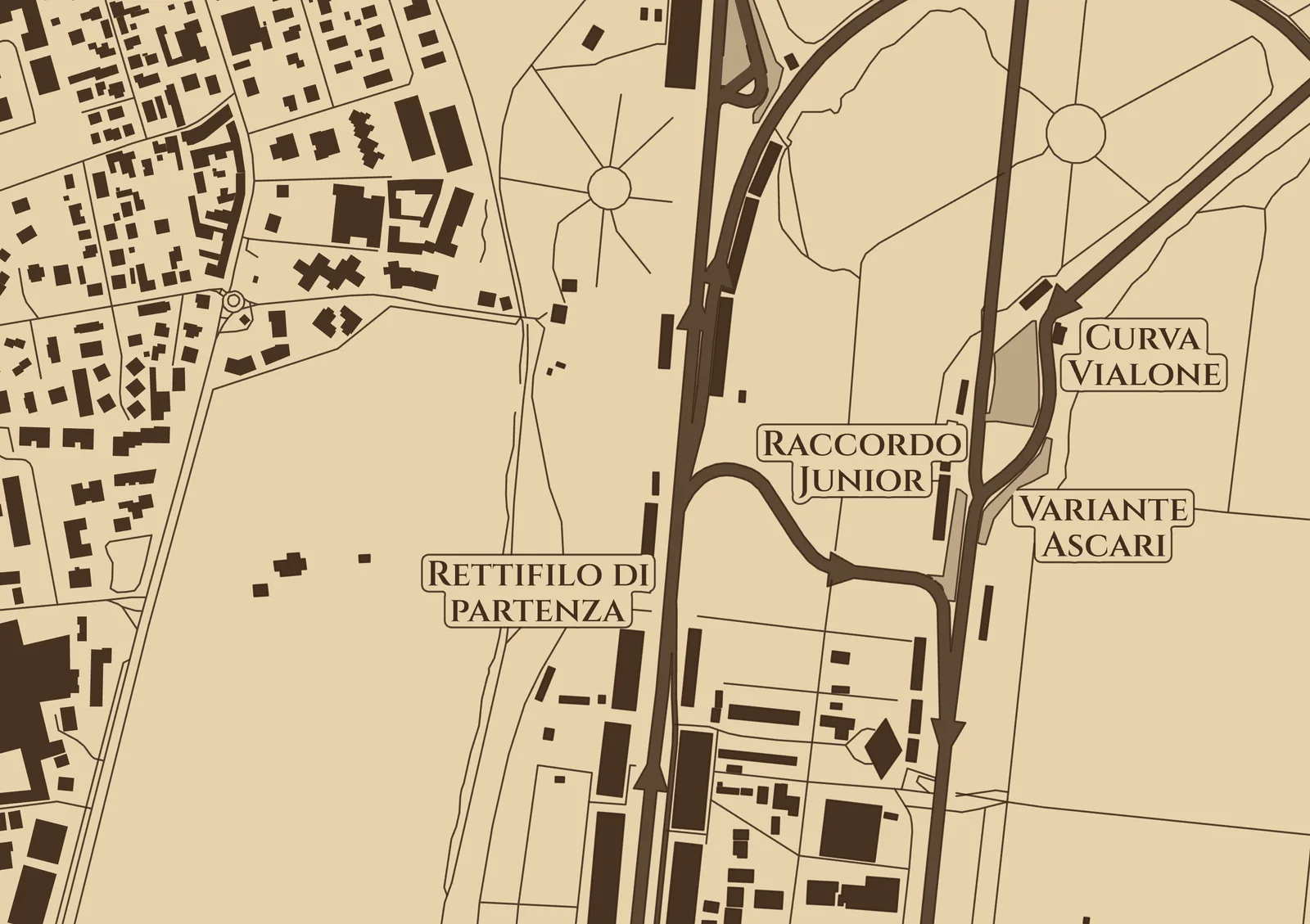
The racetrack setup on birch. The track is engraved about as wide as it is, with arrowheads the way the cars go, and the old banked oval runs beside it. The park around it is only scored, so the track stands out. Its corners are named beside the track.
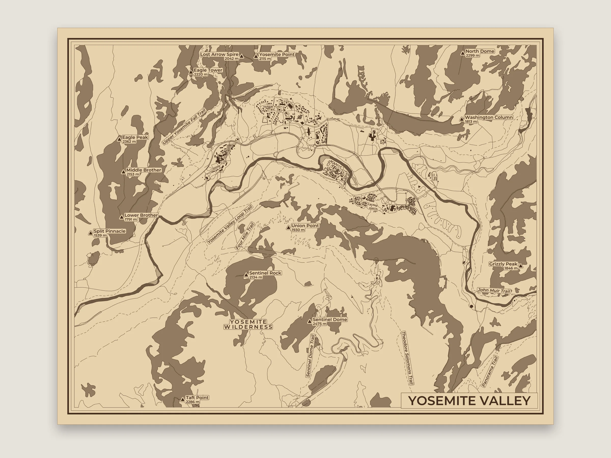
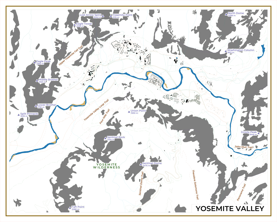
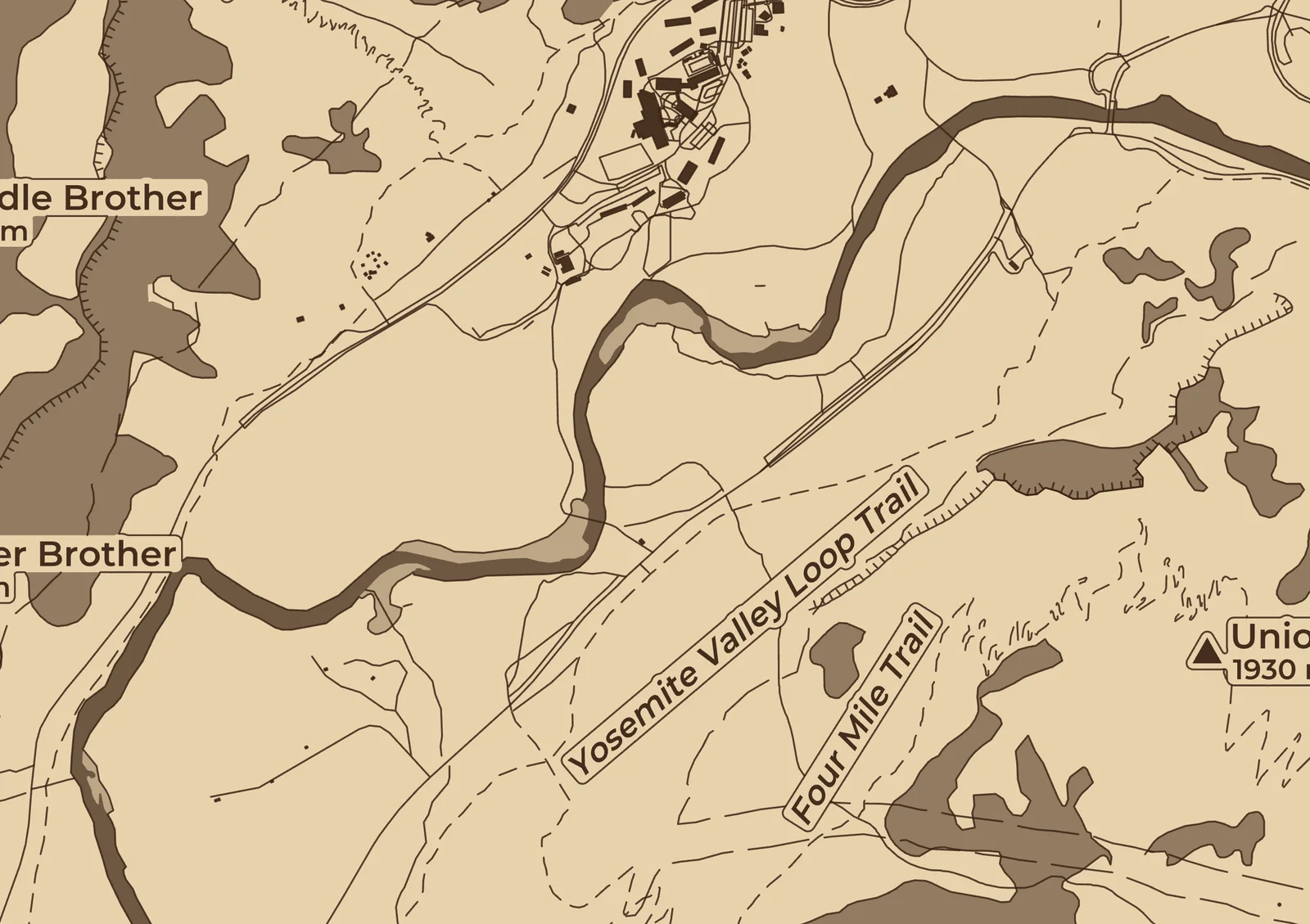
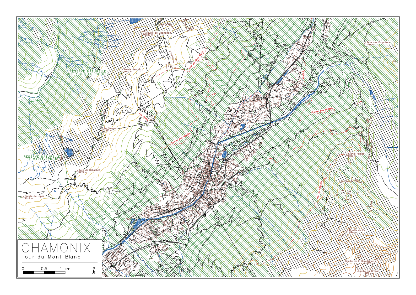
The park and hike setup on birch. The cliffs have teeth on their low side, the marked trails take the place of the paths they follow, and their names go beside them, straight where a trail switchbacks. The woods are only scored.
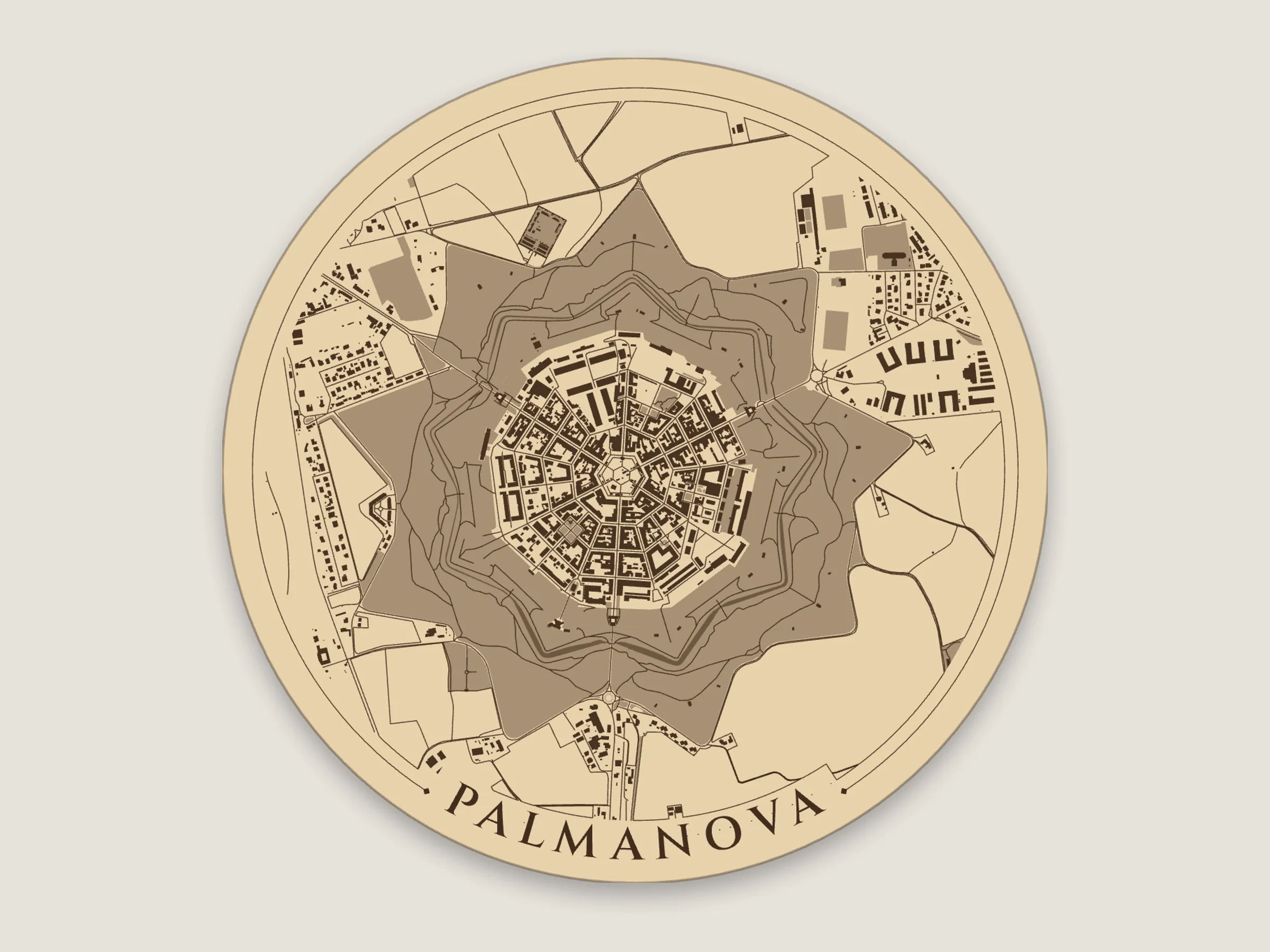
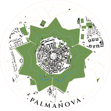
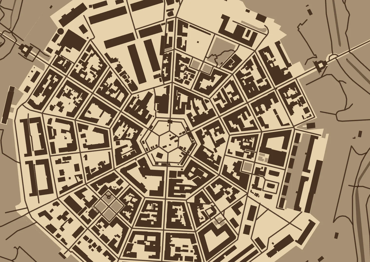
The nine-pointed fortress town Venice built in 1593, on a 100 mm round coaster with the title following the rim. The ramparts are mapped as grass, so they engrave as one star, and the Farmland layer scores the edges of the fields around it.
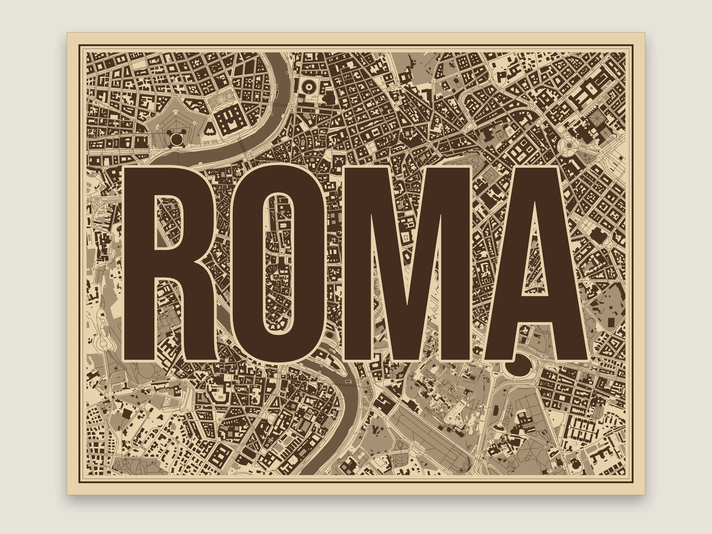
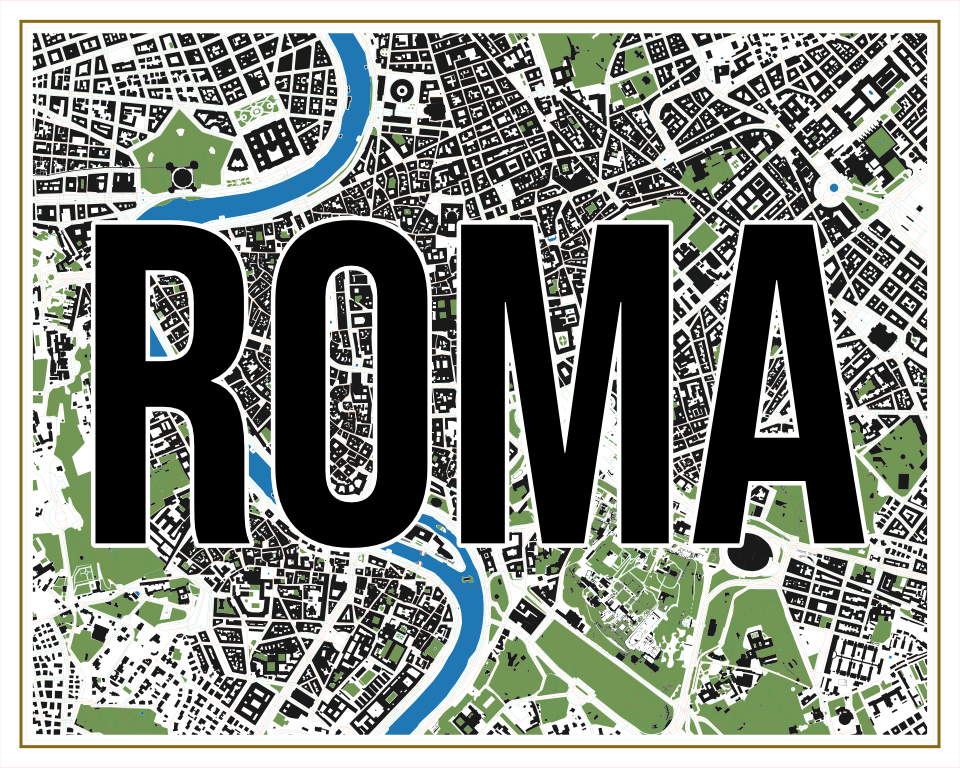
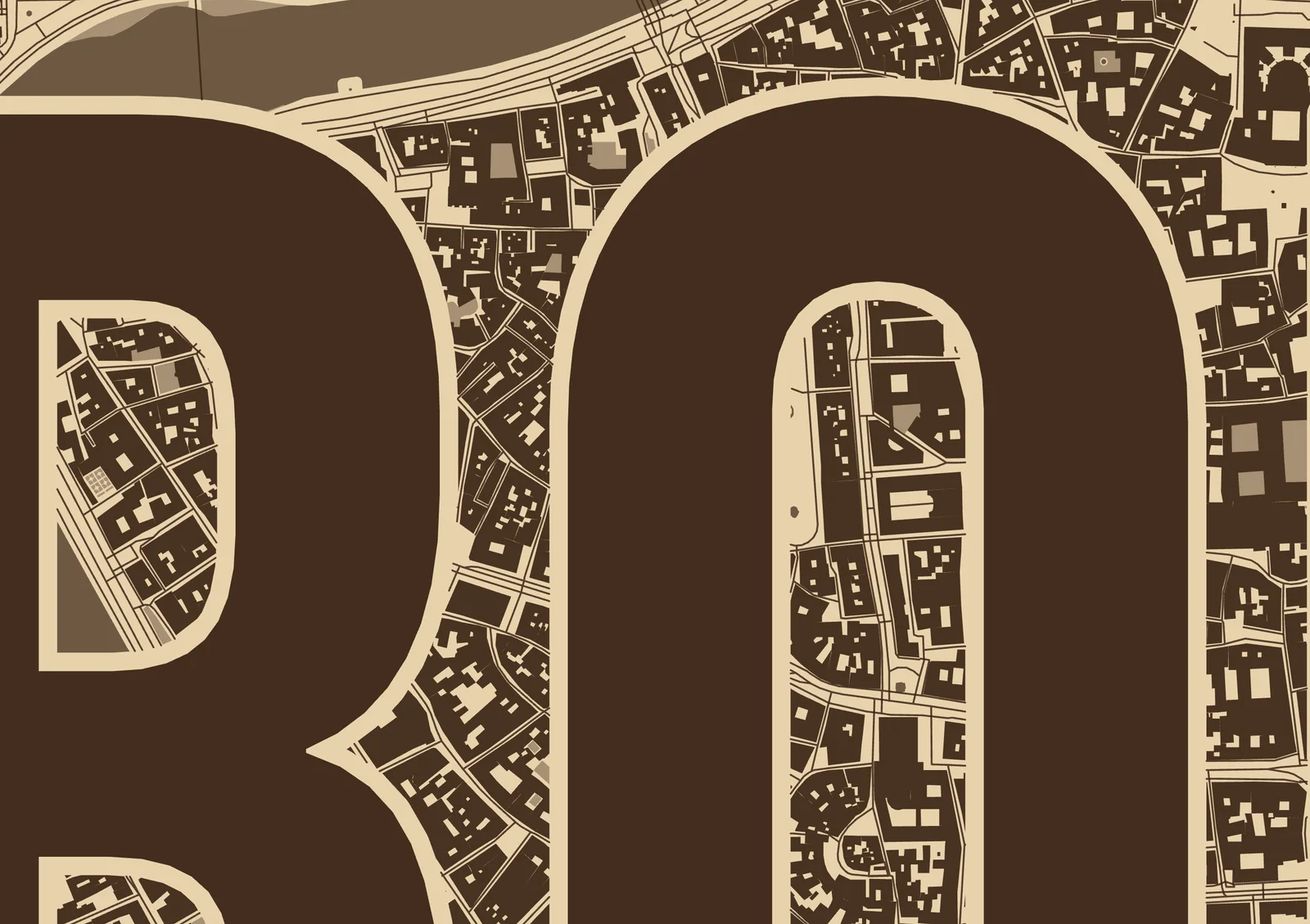
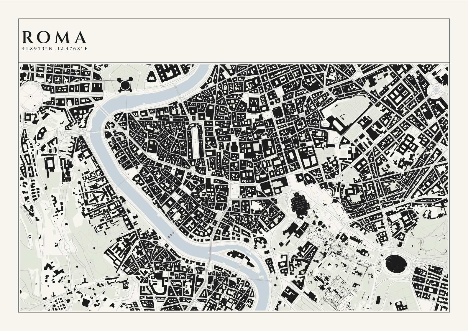
The Stencil title on an 8 × 10 in plaque. The letters are engraved solid across the whole map with a gap around them, and the streets carry on inside the R, O and A. The Tiber and Castel Sant’Angelo are top left.
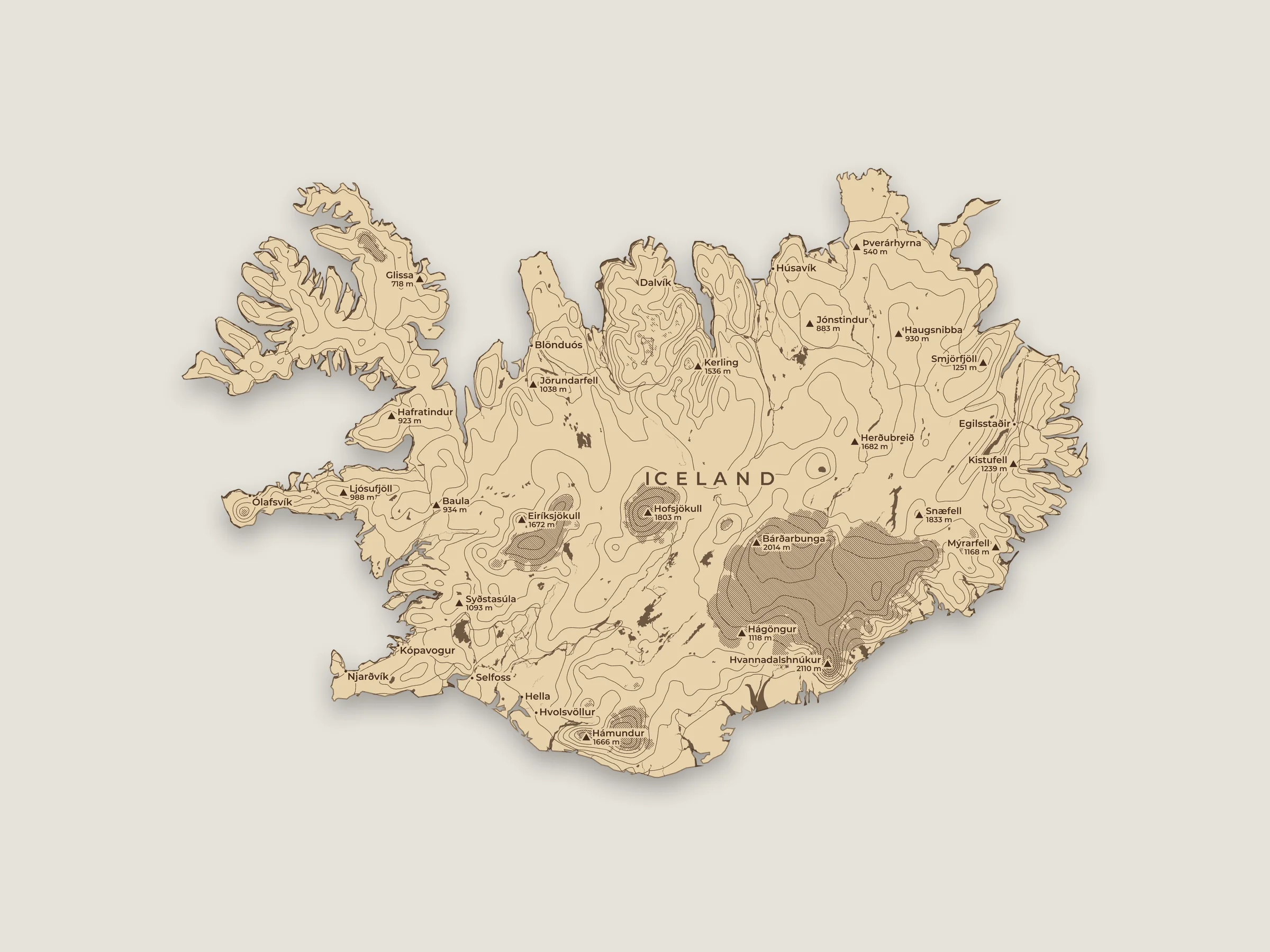
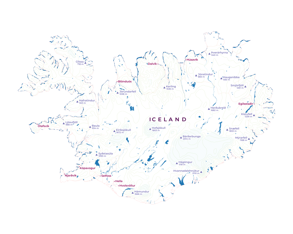
Iceland from the place search, cut along its coast, with the hills setup and the parks and fields turned off so the elevation lines show. The glaciers are hatched instead of only outlined, so Vatnajökull, Langjökull and Hofsjökull stand out. There’s no title, since everything off the coast is offcut.
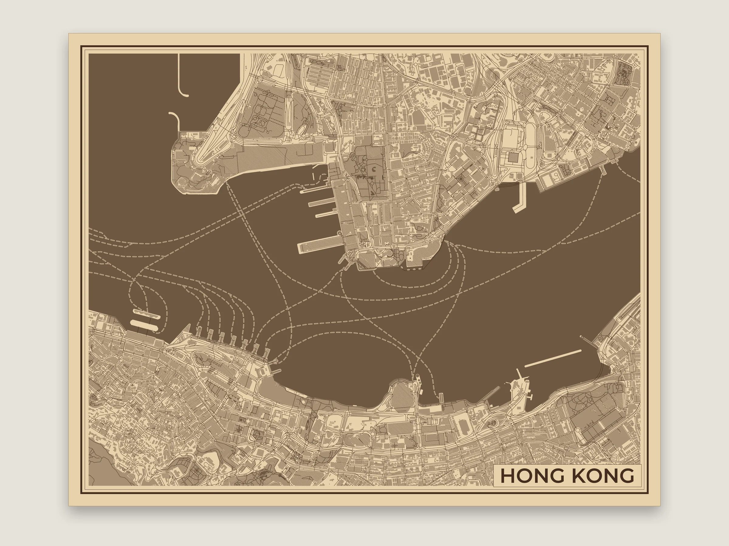
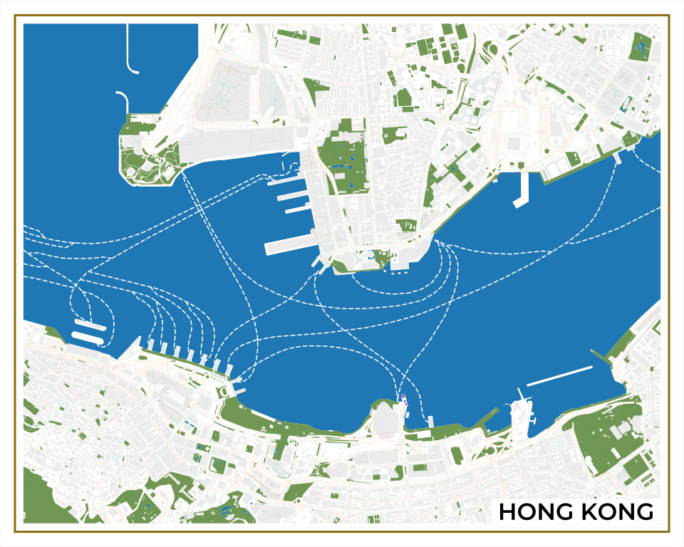
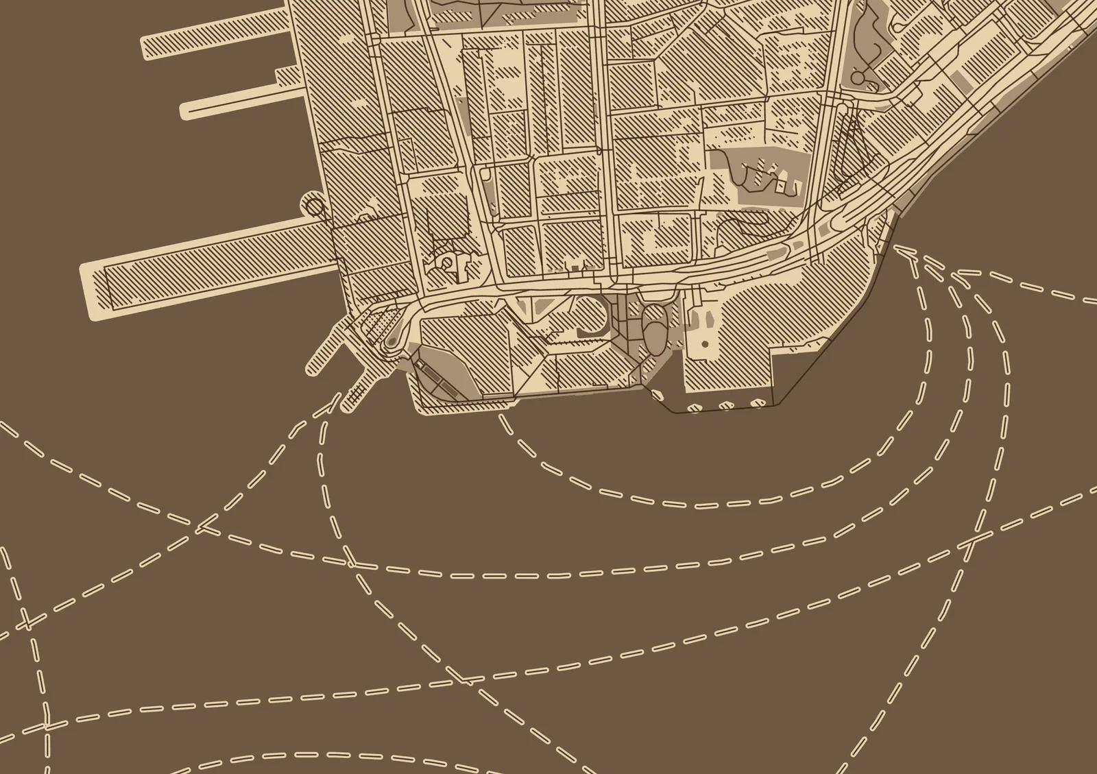
Victoria Harbour with the Ferries layer on. The water is engraved with a bare strip left along each ferry route and the route scored down the middle, so the crossings show up as light wakes. The buildings are hatched to keep Kowloon and Central from going dark.
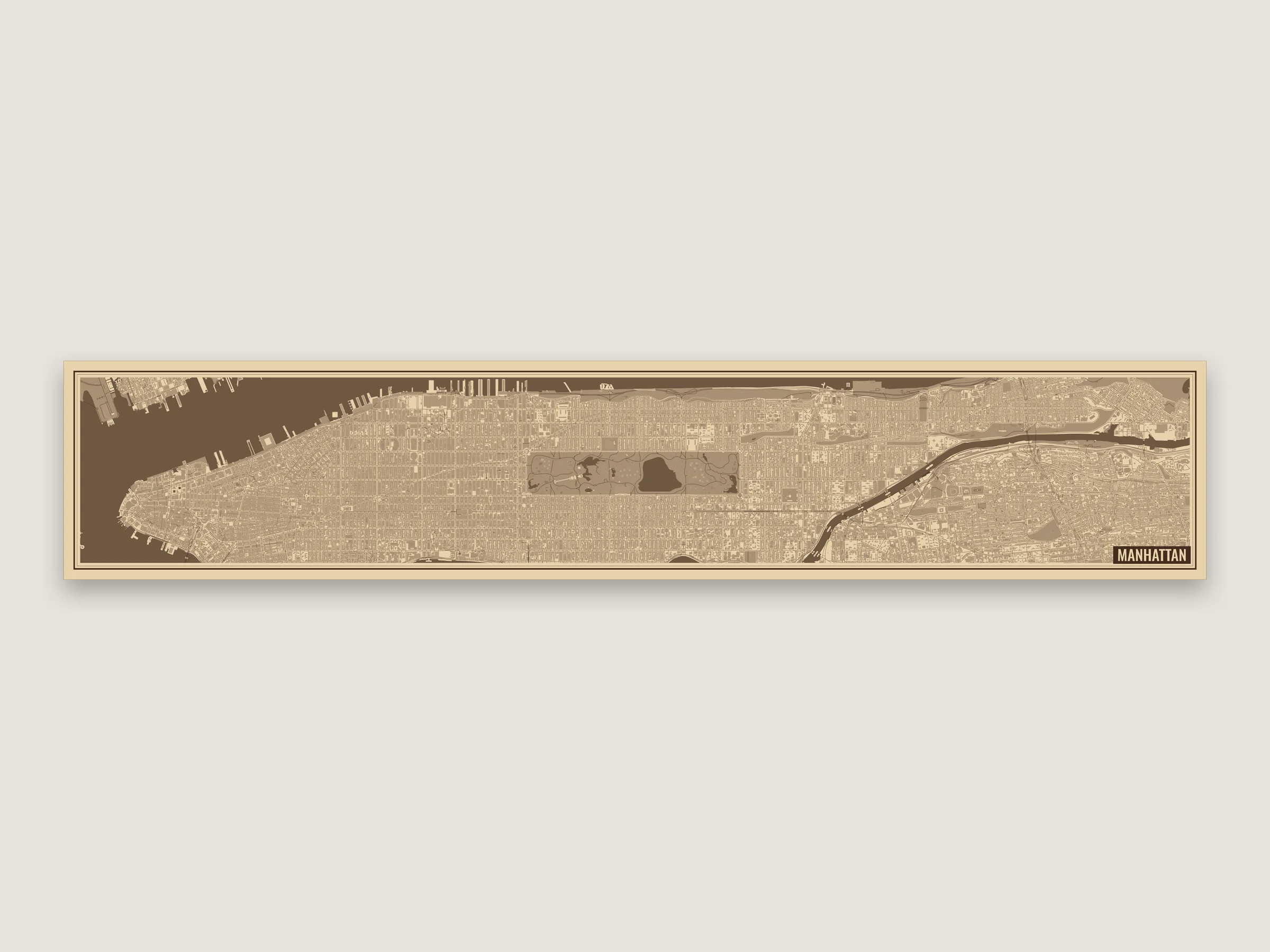
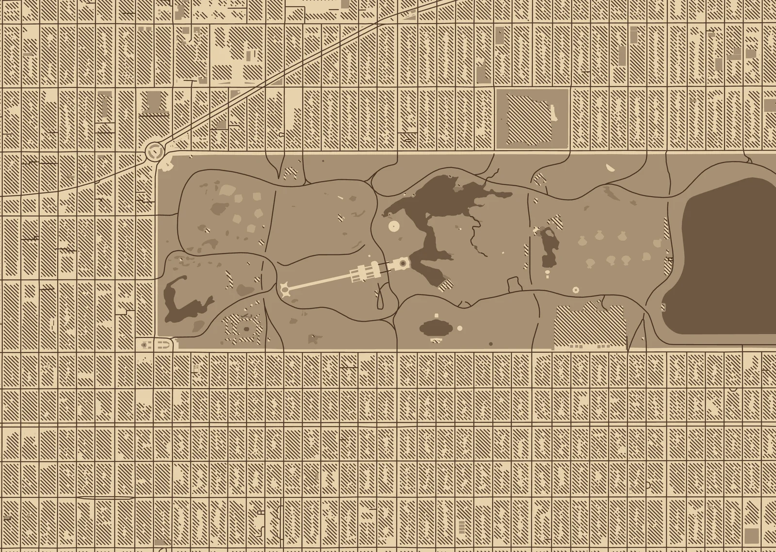
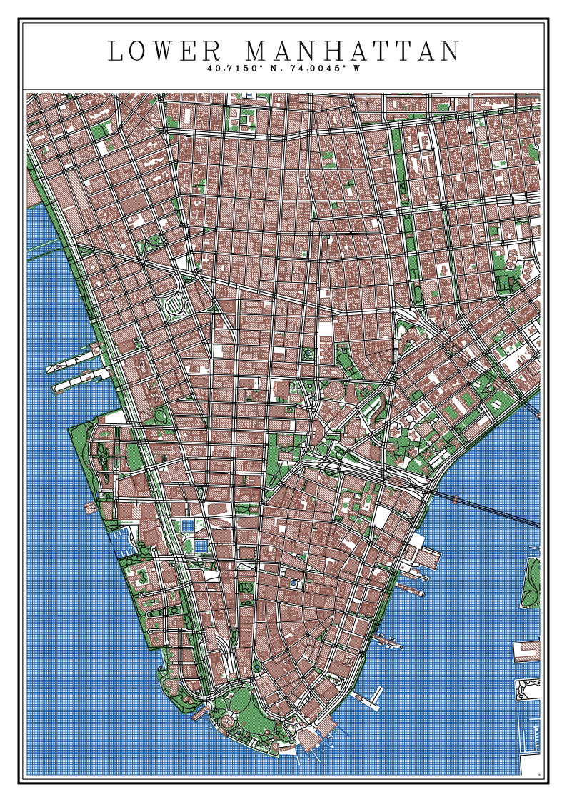
Manhattan on a 600 × 115 mm board, from the Battery to the Harlem River. The map is turned 61° so Manhattan runs along the plank, and the shape is typed in under the size instead of picked from a preset. The buildings are hatched so the street grid stays light.
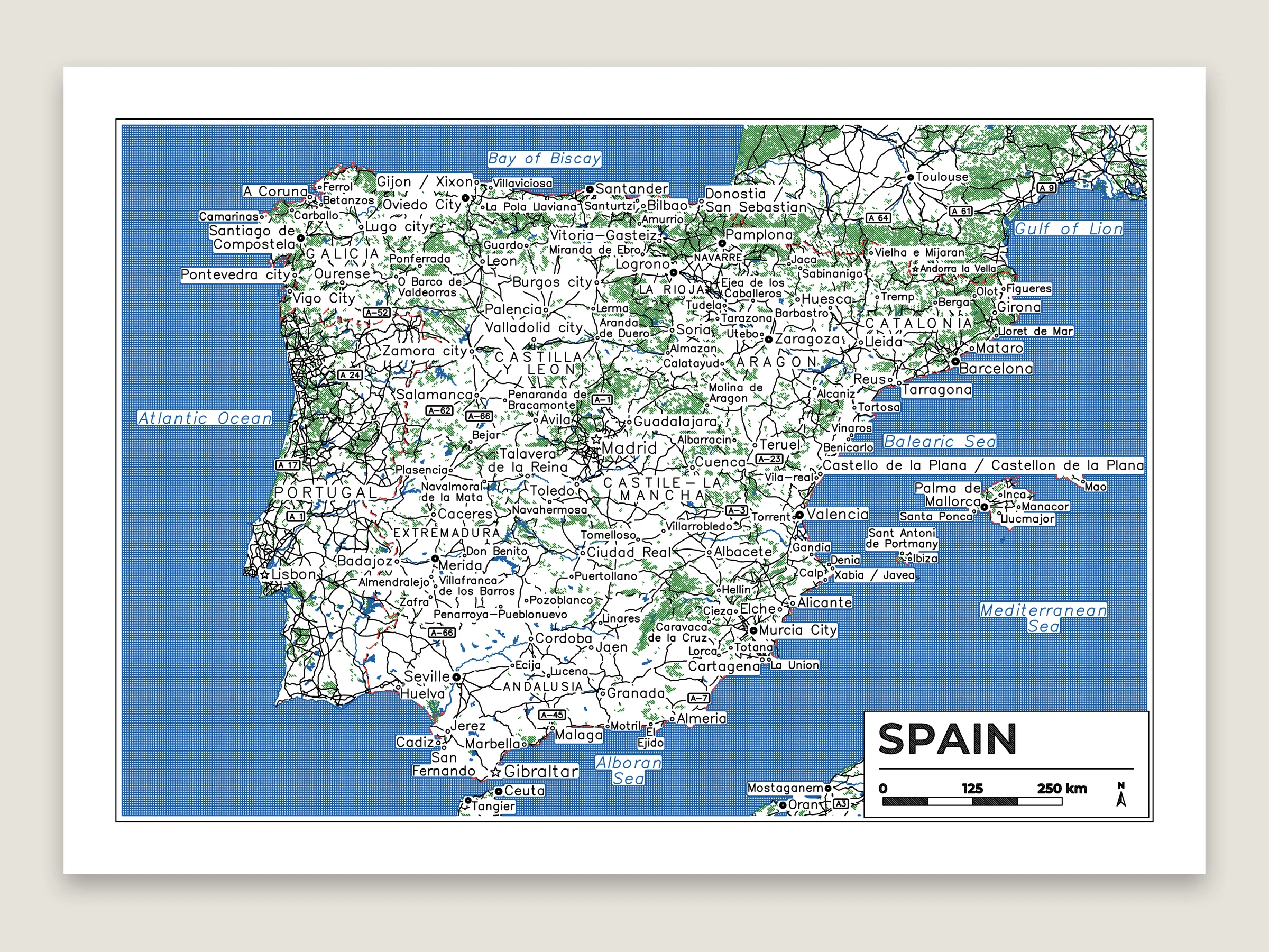
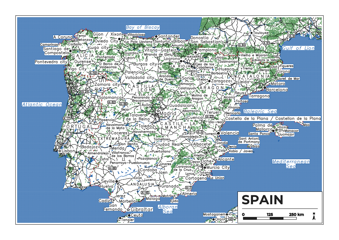
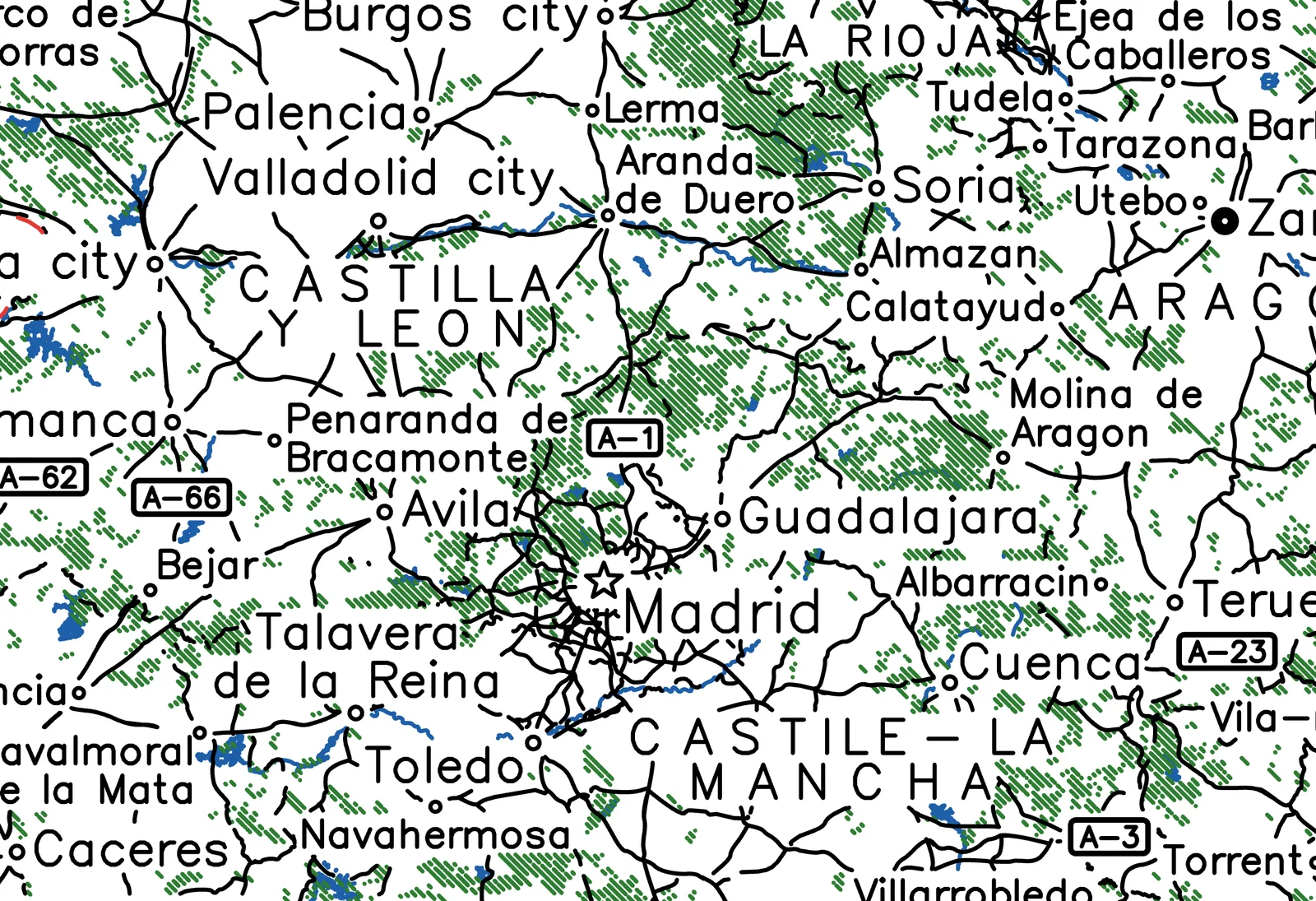
The atlas setup on A4: regions, towns, route numbers and the seas. Spain is outlined in red dashes and the map carries on past it. Four pens and about 93 m of drawing.
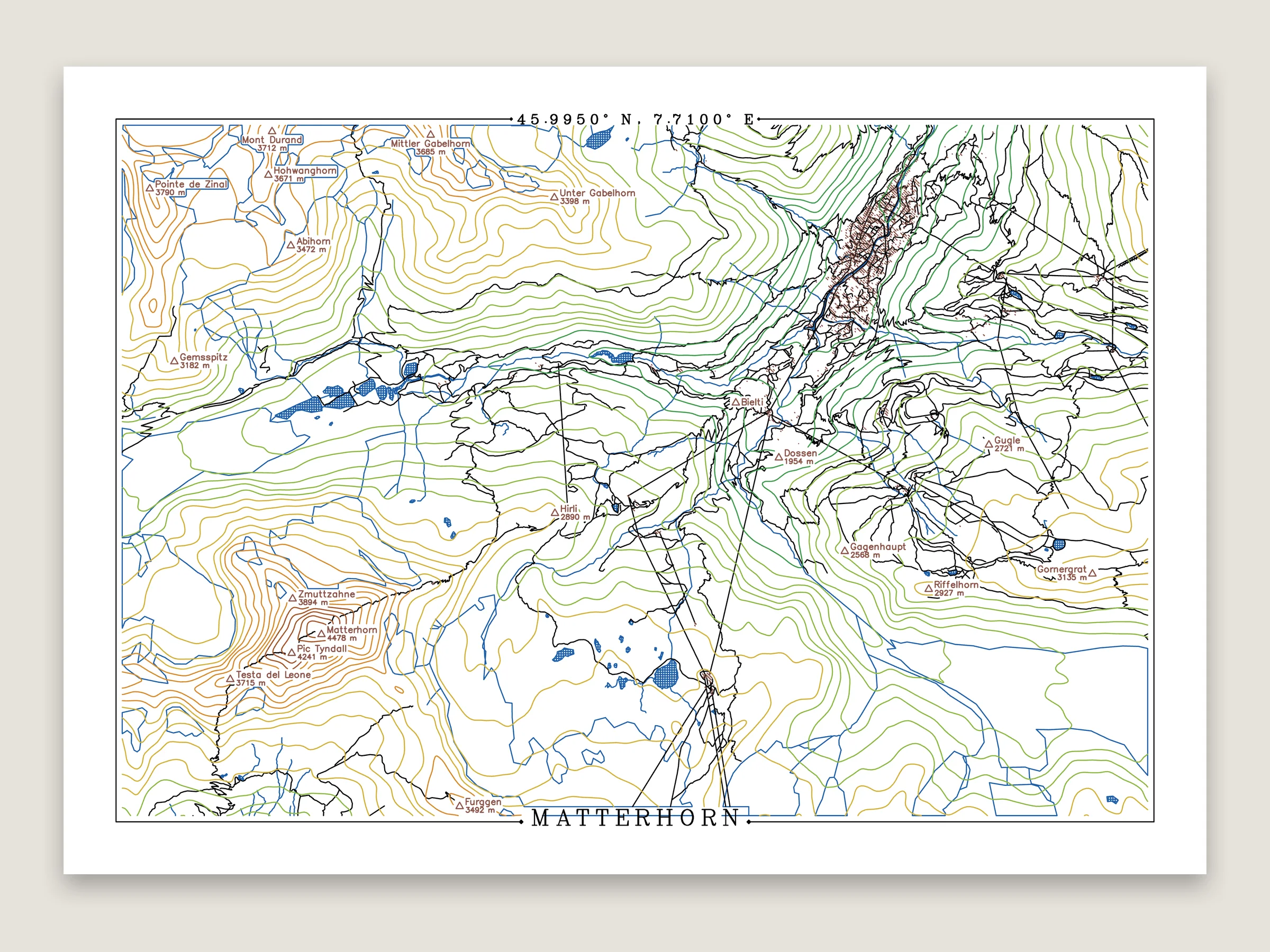
Elevation lines colored by height, one pen for each of the five bands. The lettering is single-line Hershey Serif.
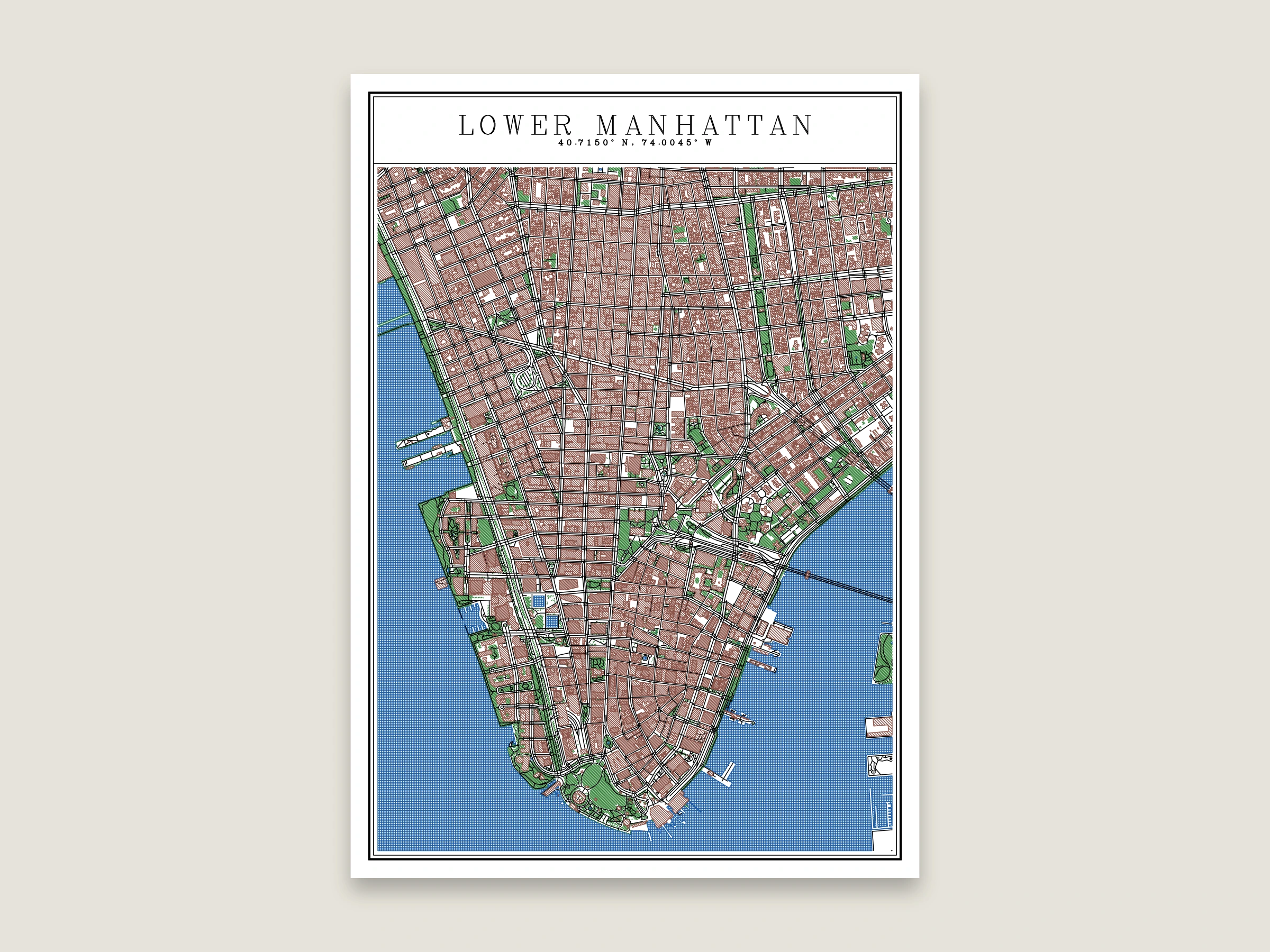
Buildings hatched closer together the taller they are, spaced by the pen width so the towers still have white between the lines.
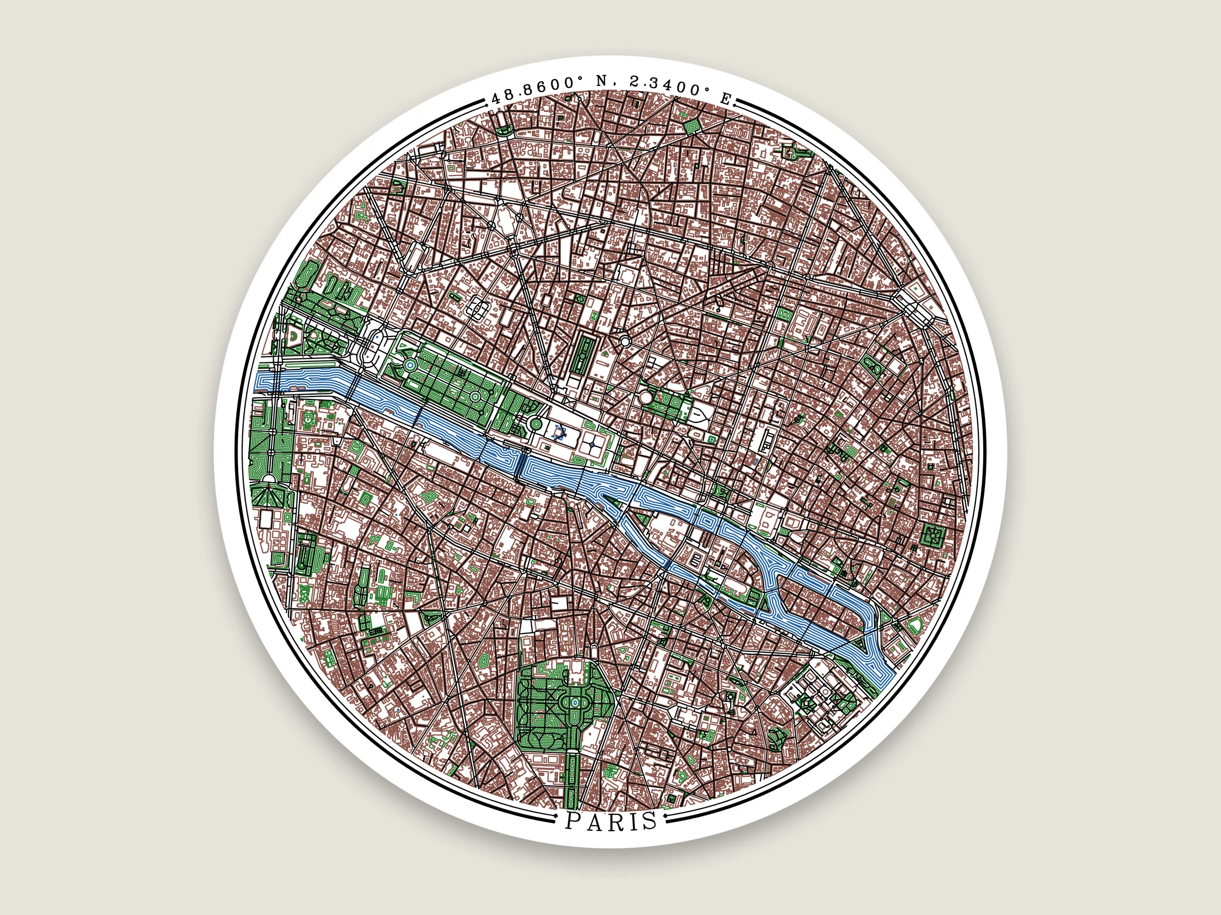
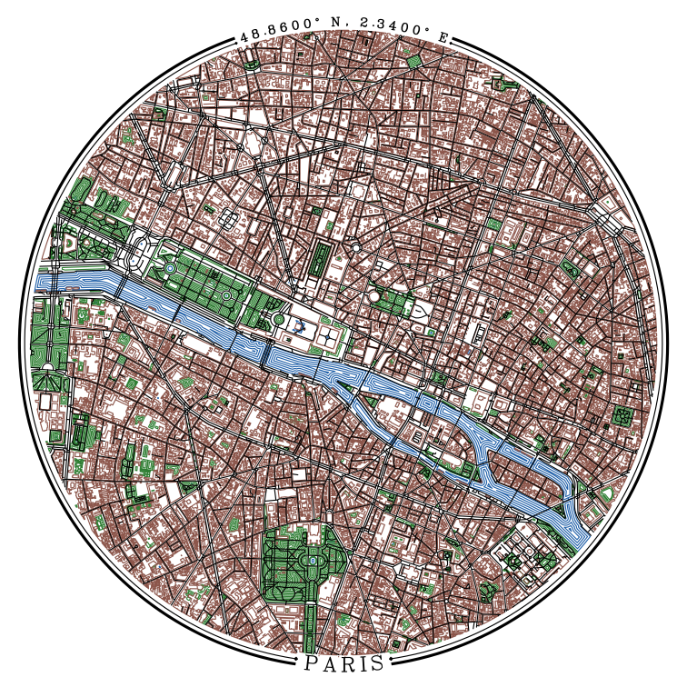
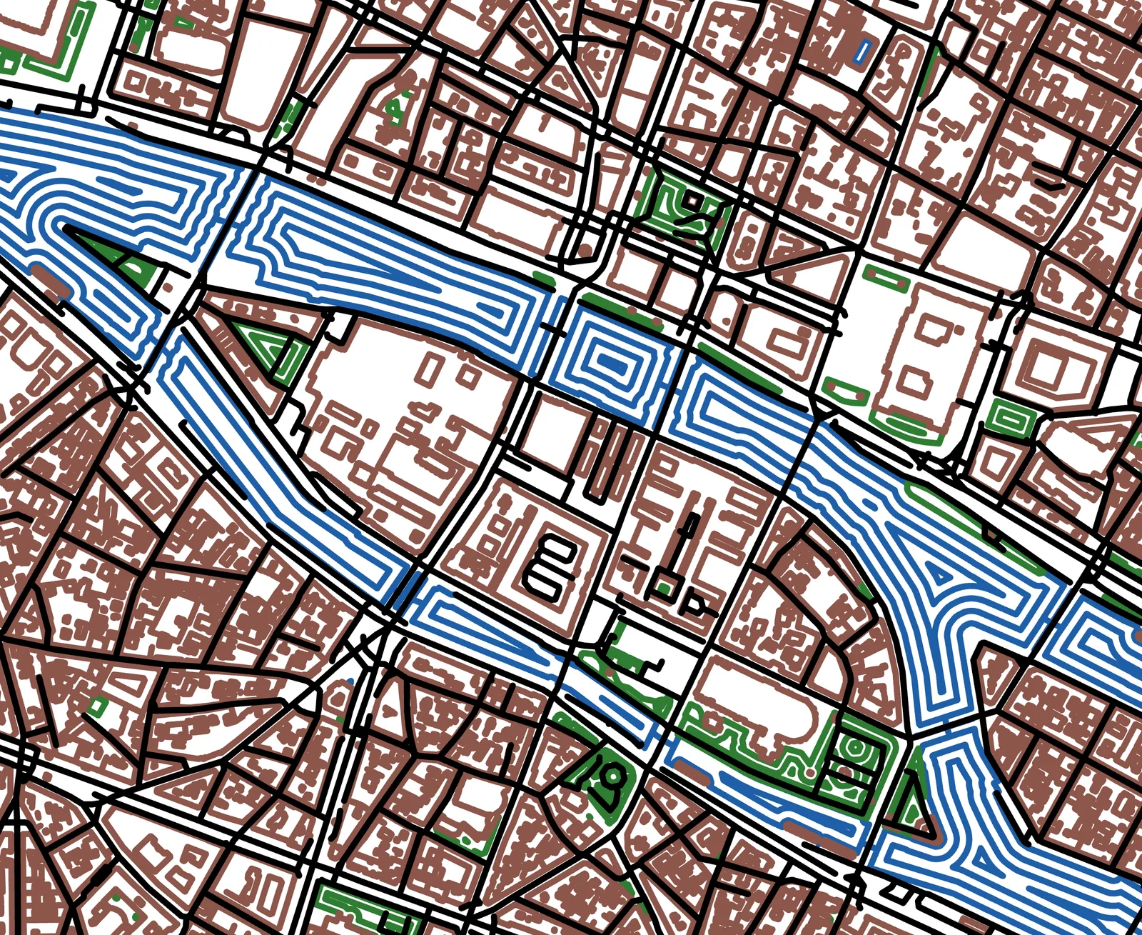
The Seine and the parks drawn as contours, rings following the shape inward. On a 200 mm circle.
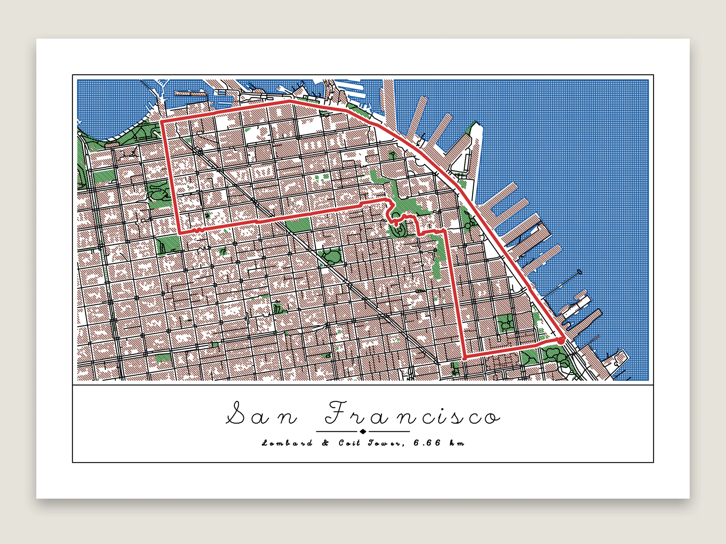
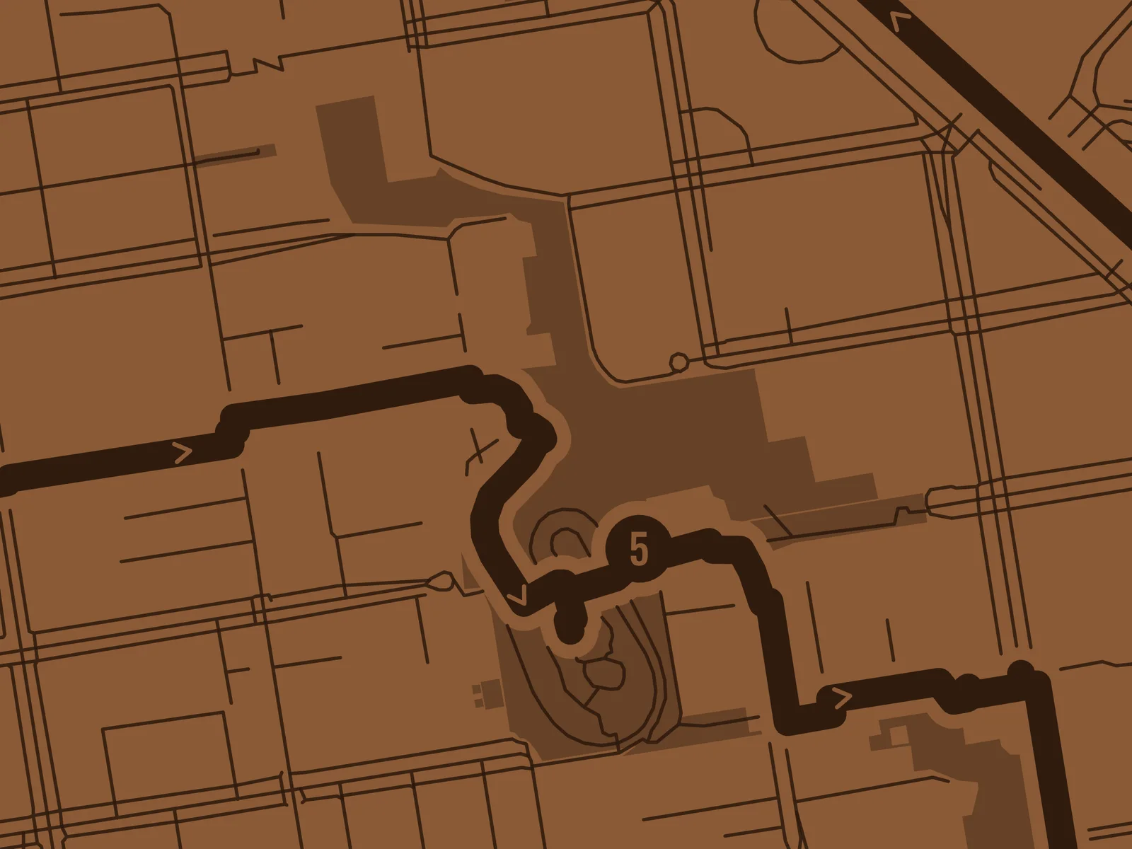
The Lombard Street loop drawn as pen passes along the route, with a Hershey Script title.
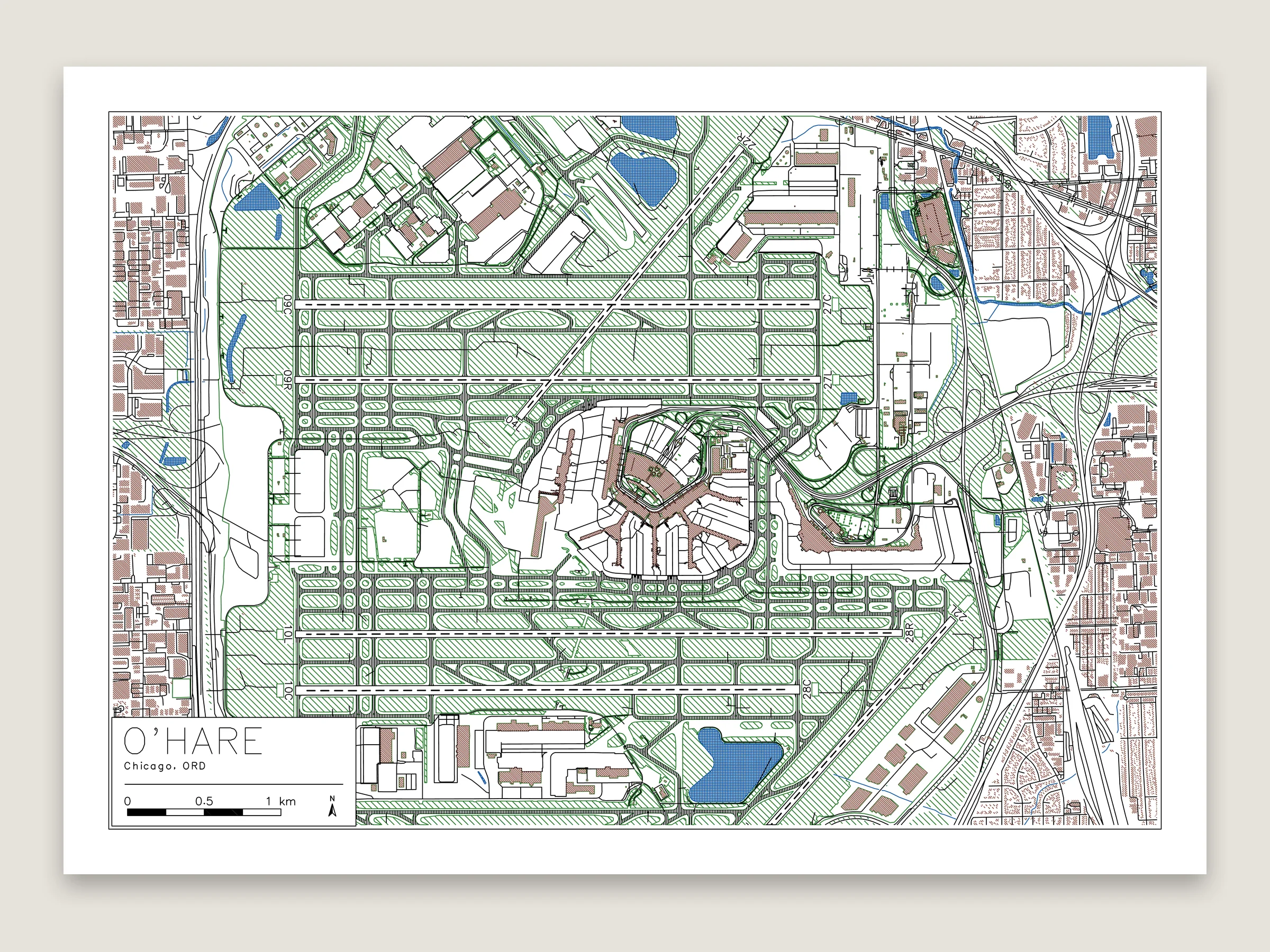
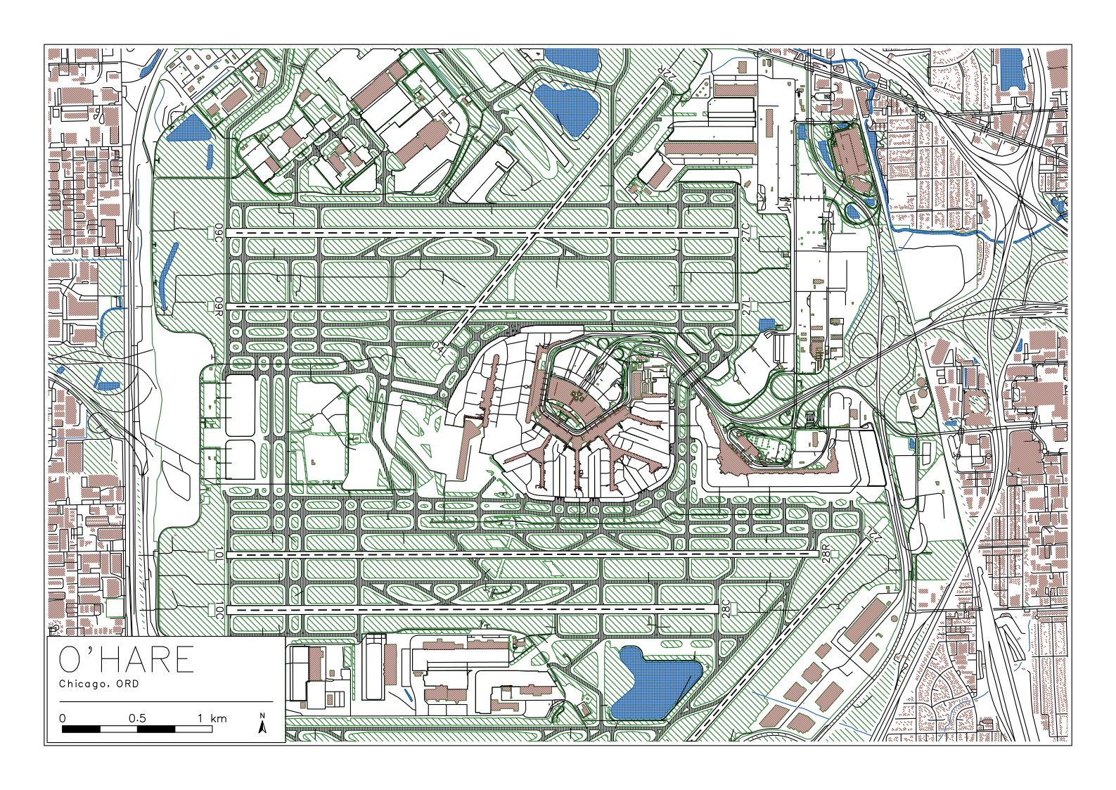
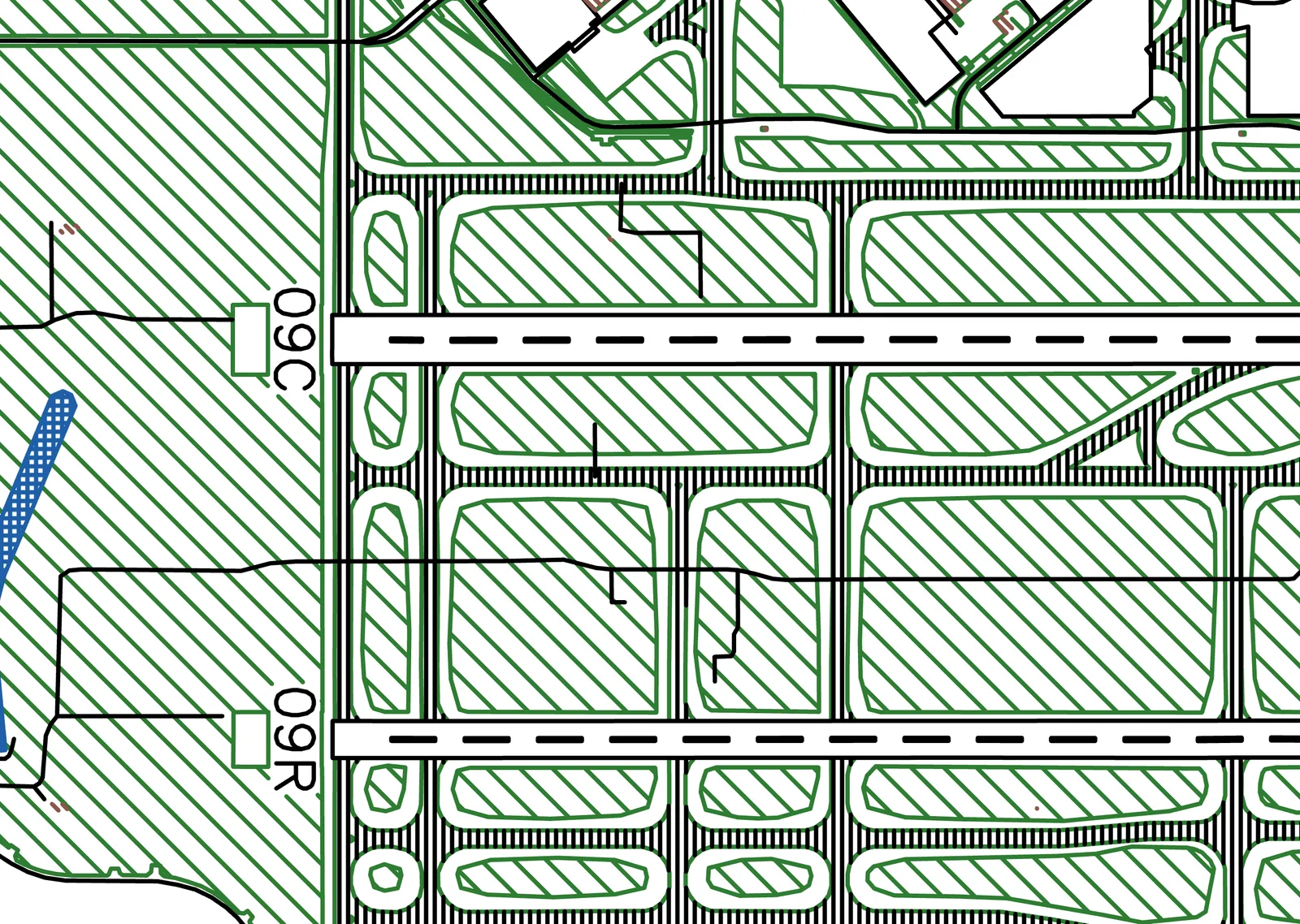
The airport setup on A3. The runways are outlined so their dashed centerlines show, the taxiways are hatched in black and each runway has its numbers at both ends. About 107 m of drawing.
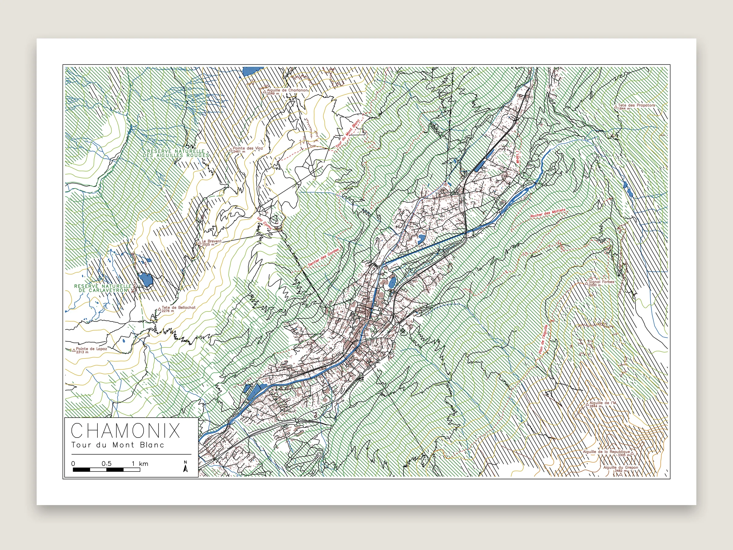
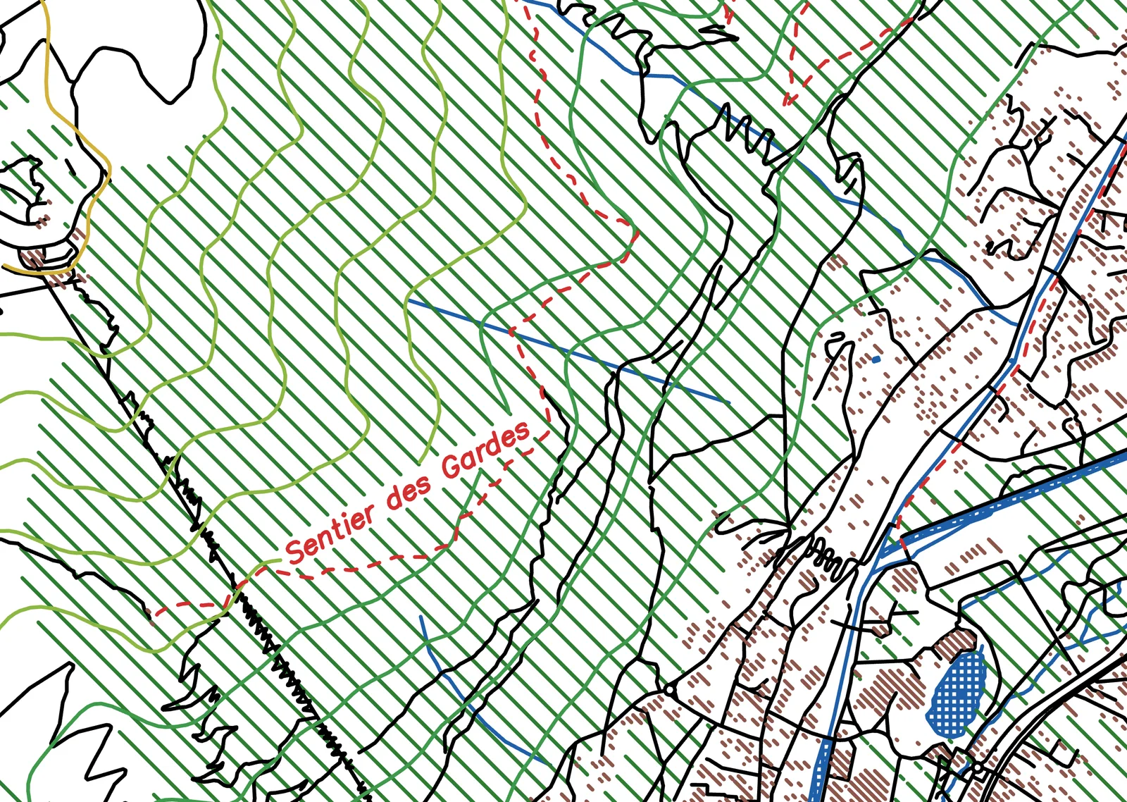
The park and hike setup with elevation lines colored by height, on A3 in ten pens. The marked trails are dashed red over their paths, with the nature reserves in green. The woods are hatched wide apart so the trails show. About 186 m of drawing.
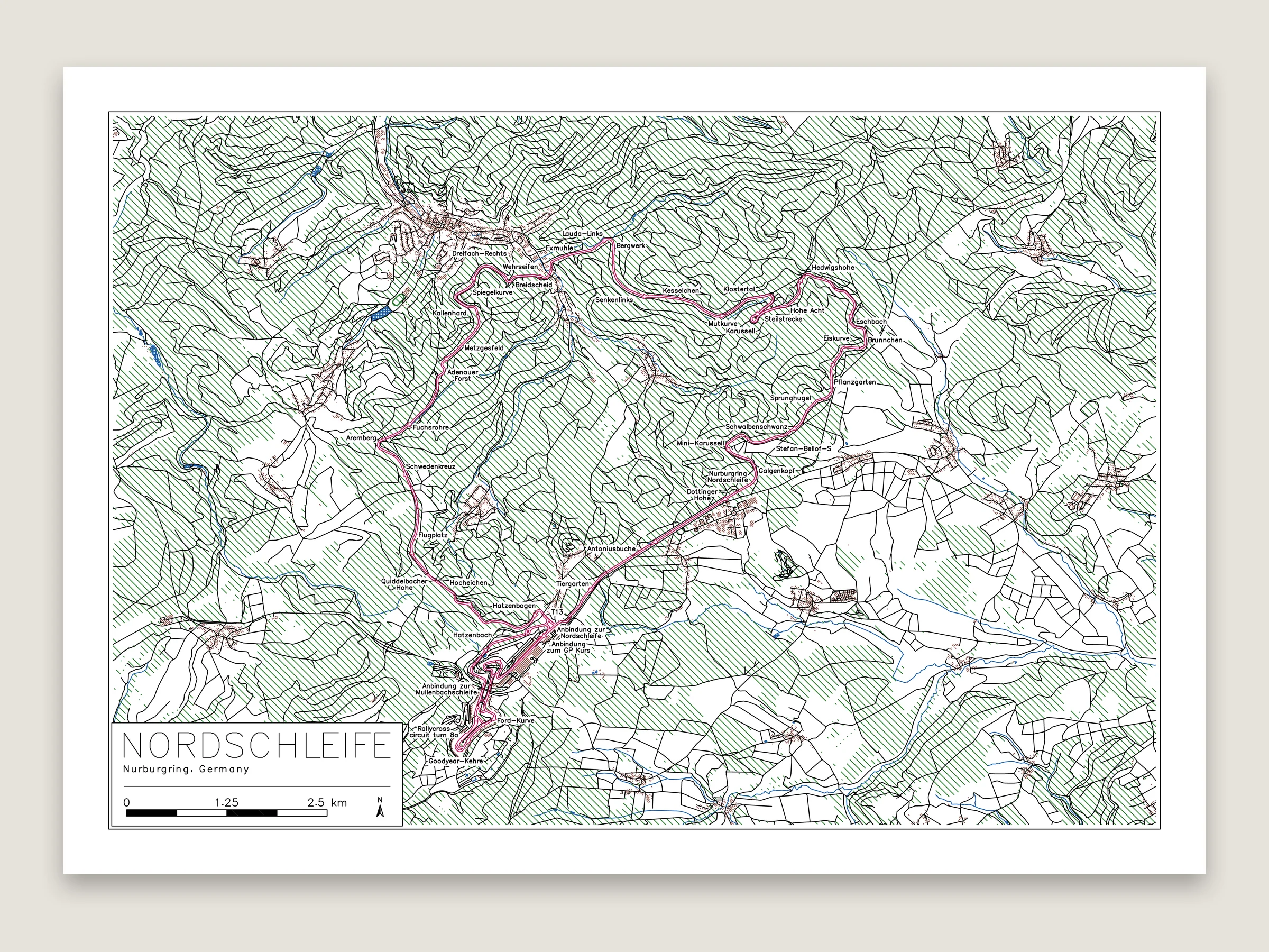
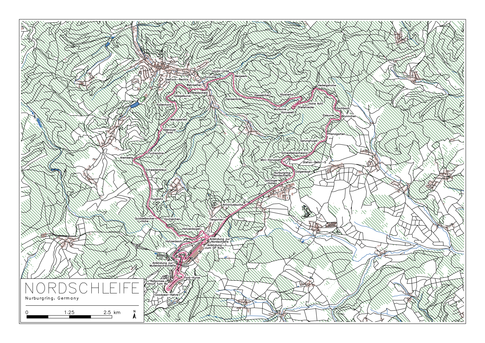
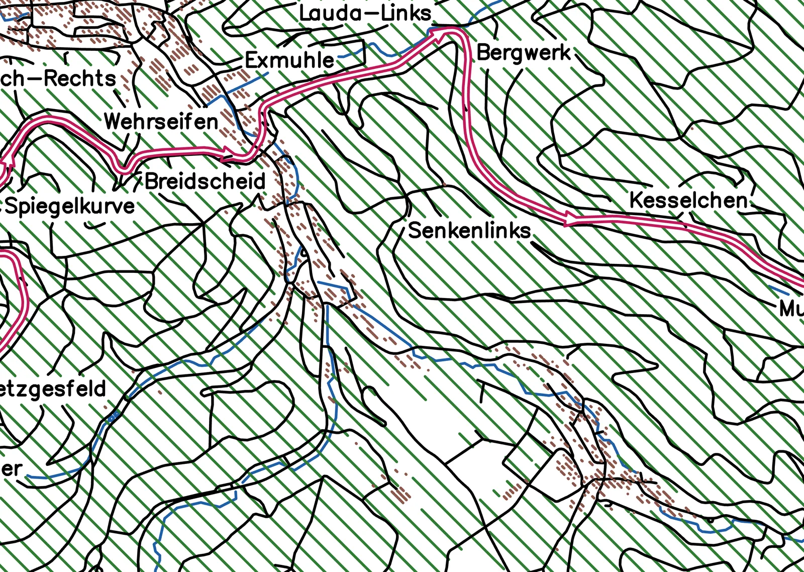
The racetrack setup on A3. The track is drawn as both its edges with arrows the way the cars go, and 46 of its corners are named, from Hatzenbach round the Karussell to Döttinger Höhe. About 197 m of drawing.
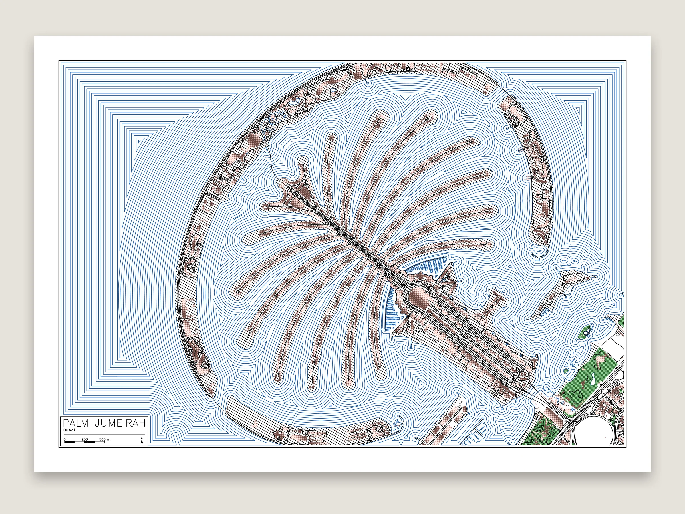
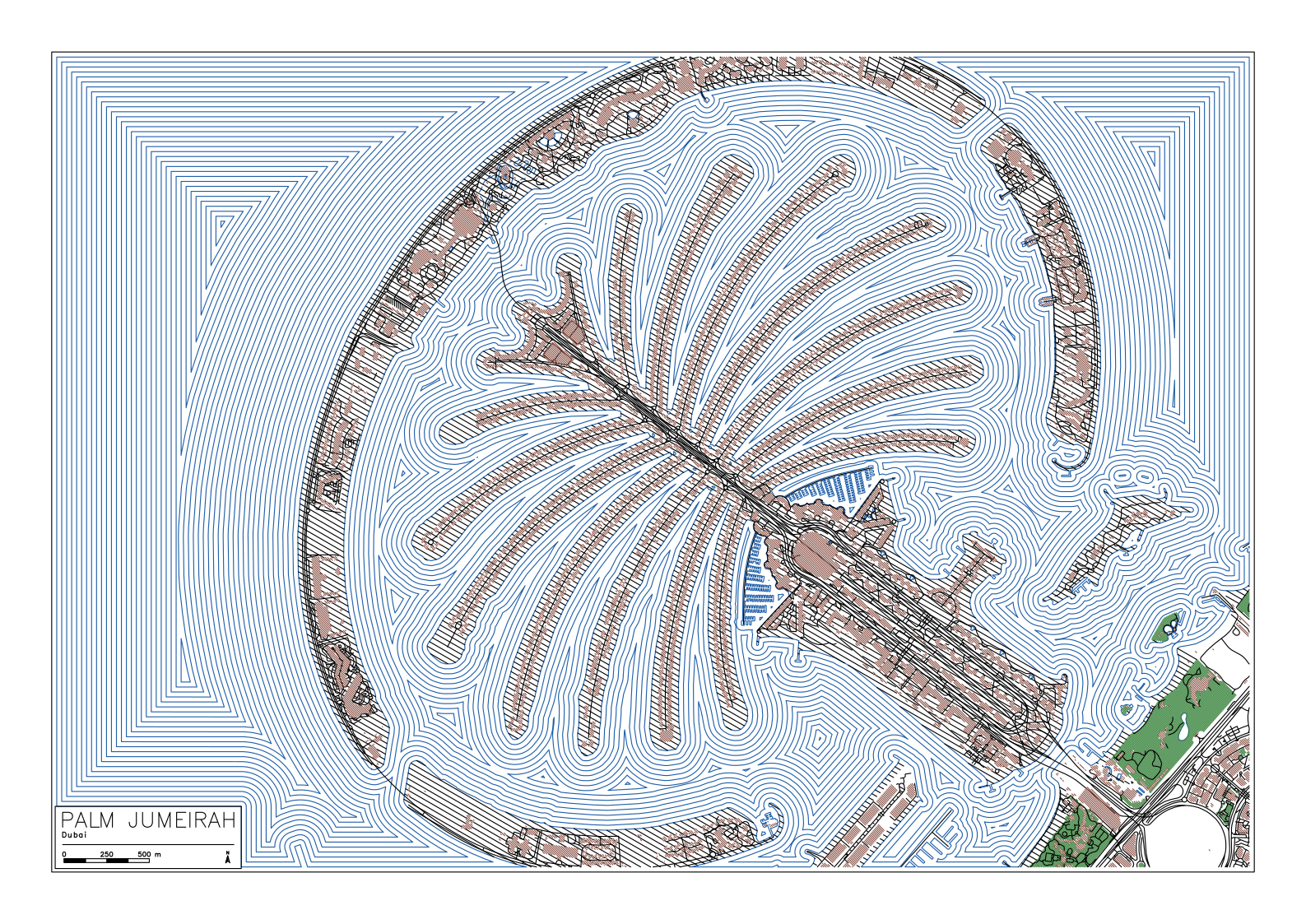
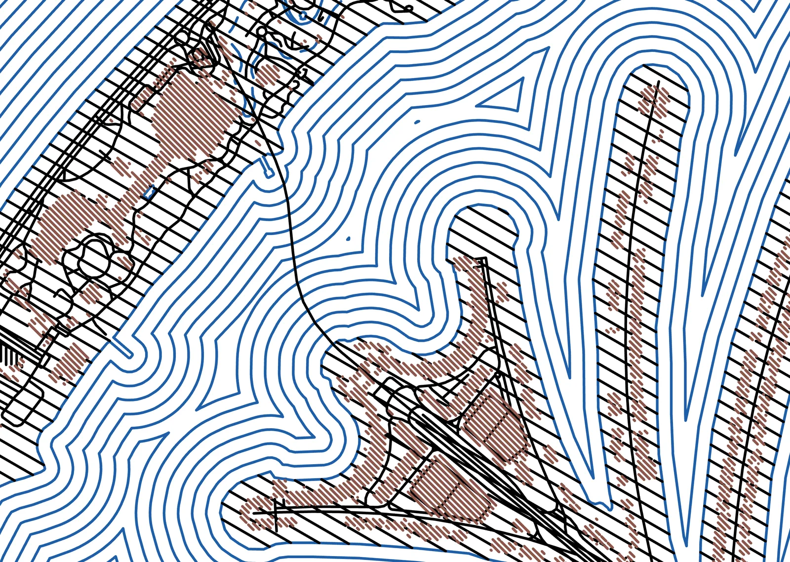
The sea drawn as contours, rings 1.6 mm apart following the shore out from the fronds and the crescent. The fronds are mapped as sand, so they’re hatched in black, with the villas in brown. A3 at 1:18,000, four pens and about 86 m of drawing.
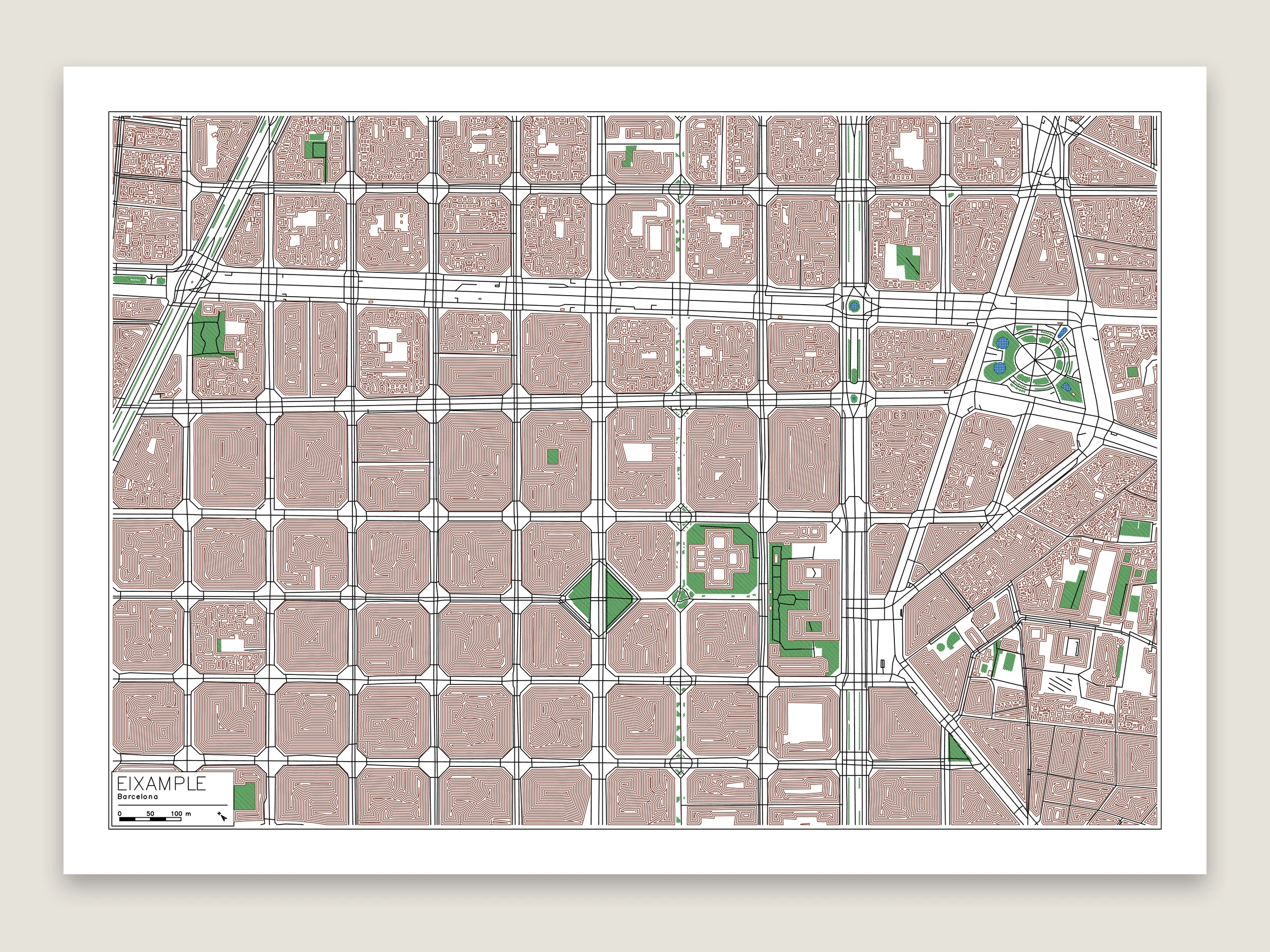
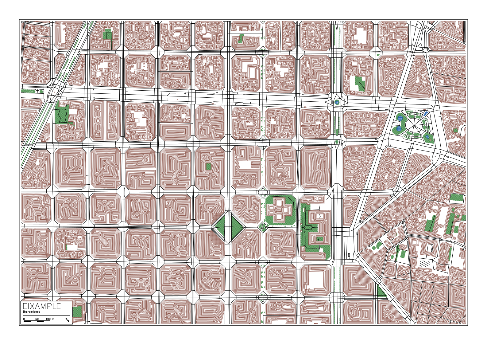
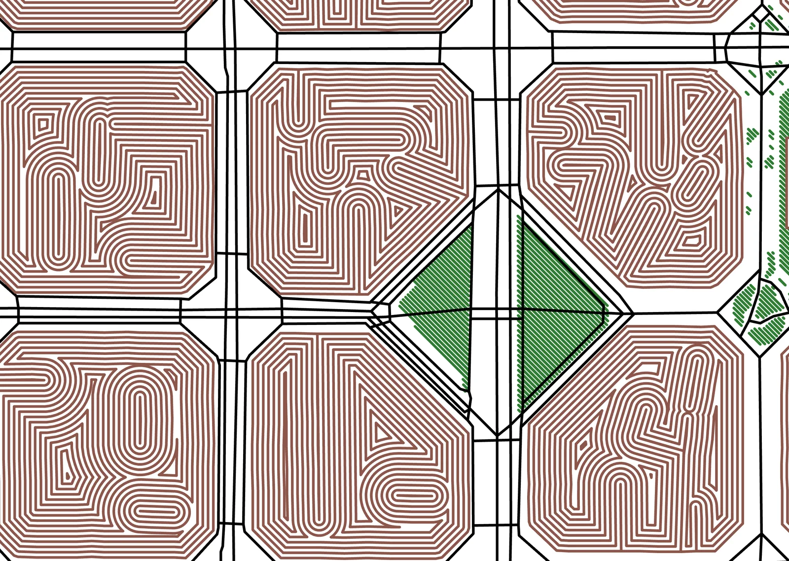
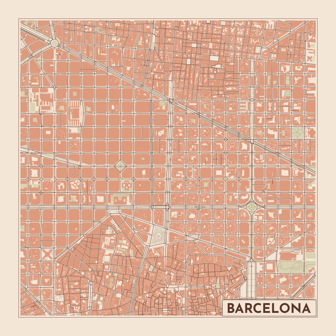
The buildings drawn as contours, rings 0.6 mm apart following each one inward. Where the buildings in a block join up, the rings wind through all of them, so every block of Barcelona’s grid comes out as its own maze. Four pens and about 140 m of drawing.
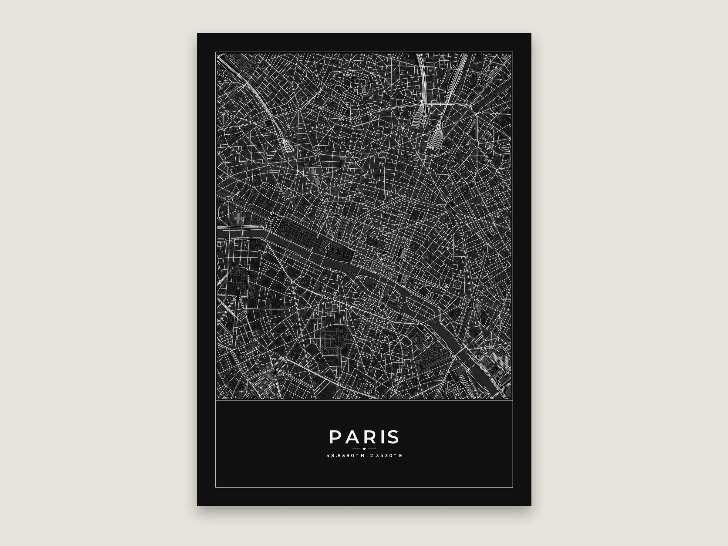
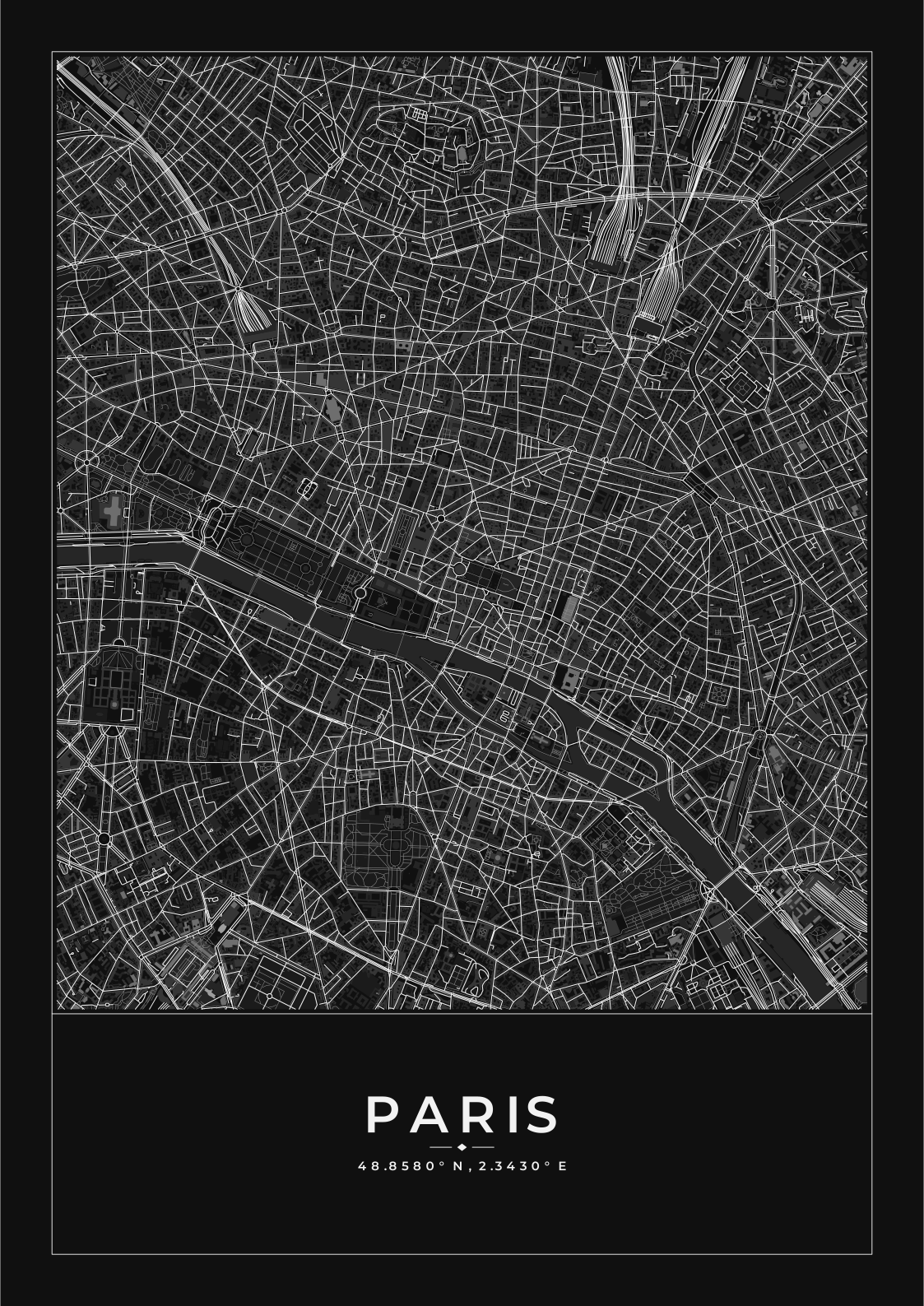
A3 poster in the Noir theme. Shaded by height, which on a dark theme makes the towers lightest.
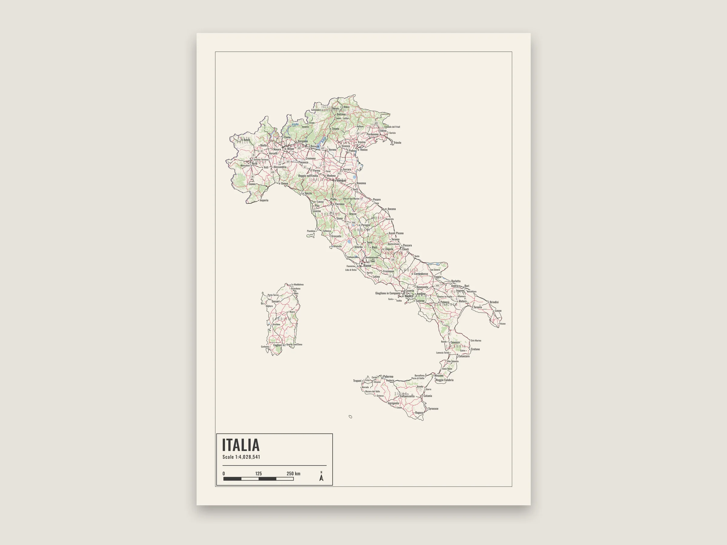
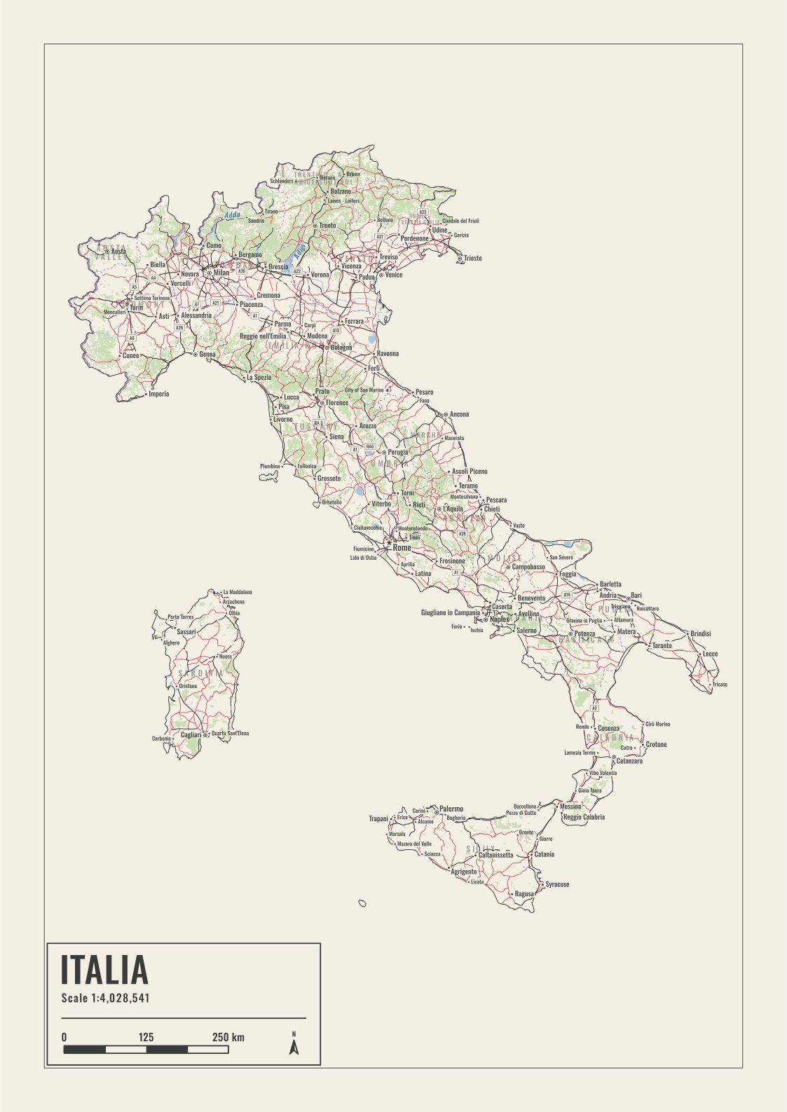
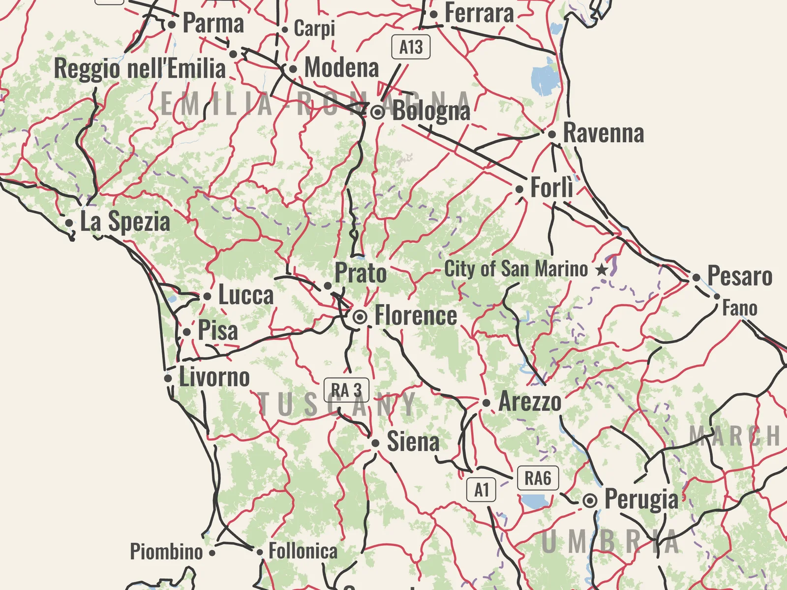
Italy from the place search, with the map only inside its outline. Regions, towns with dots, route numbers and the main roads between towns in red.
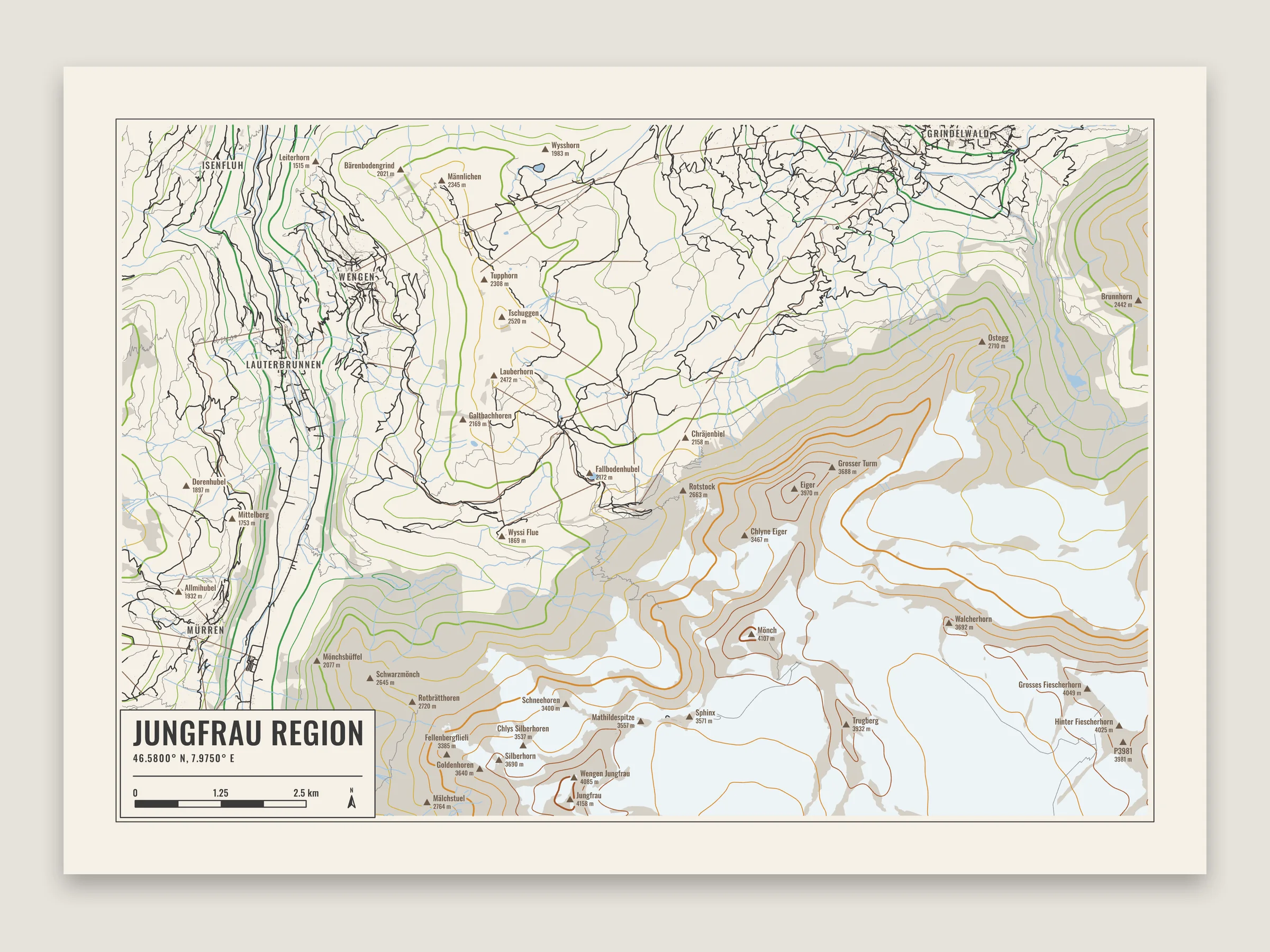
Elevation lines colored by height, glaciers, rock, villages and the peaks with their heights.
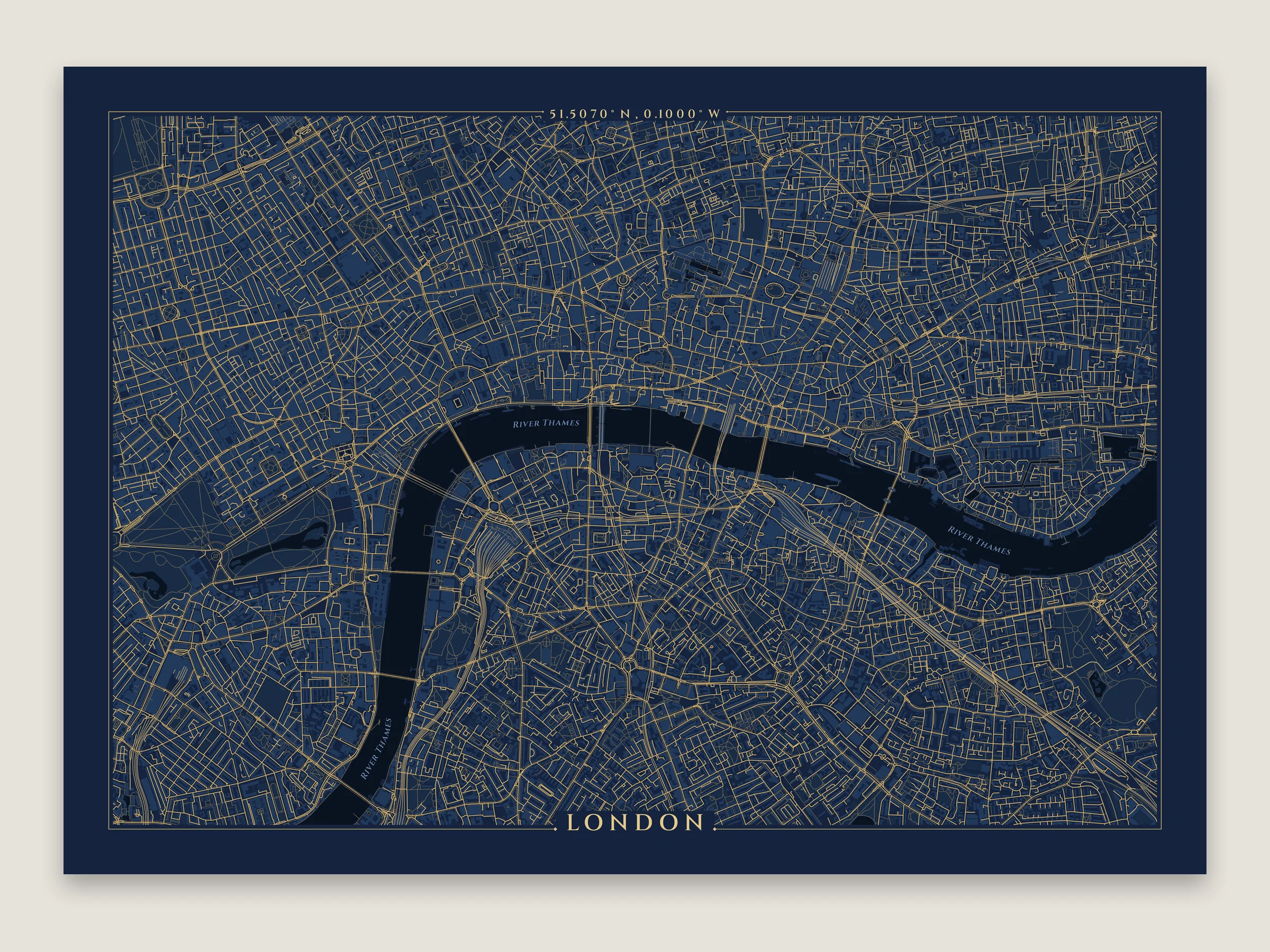
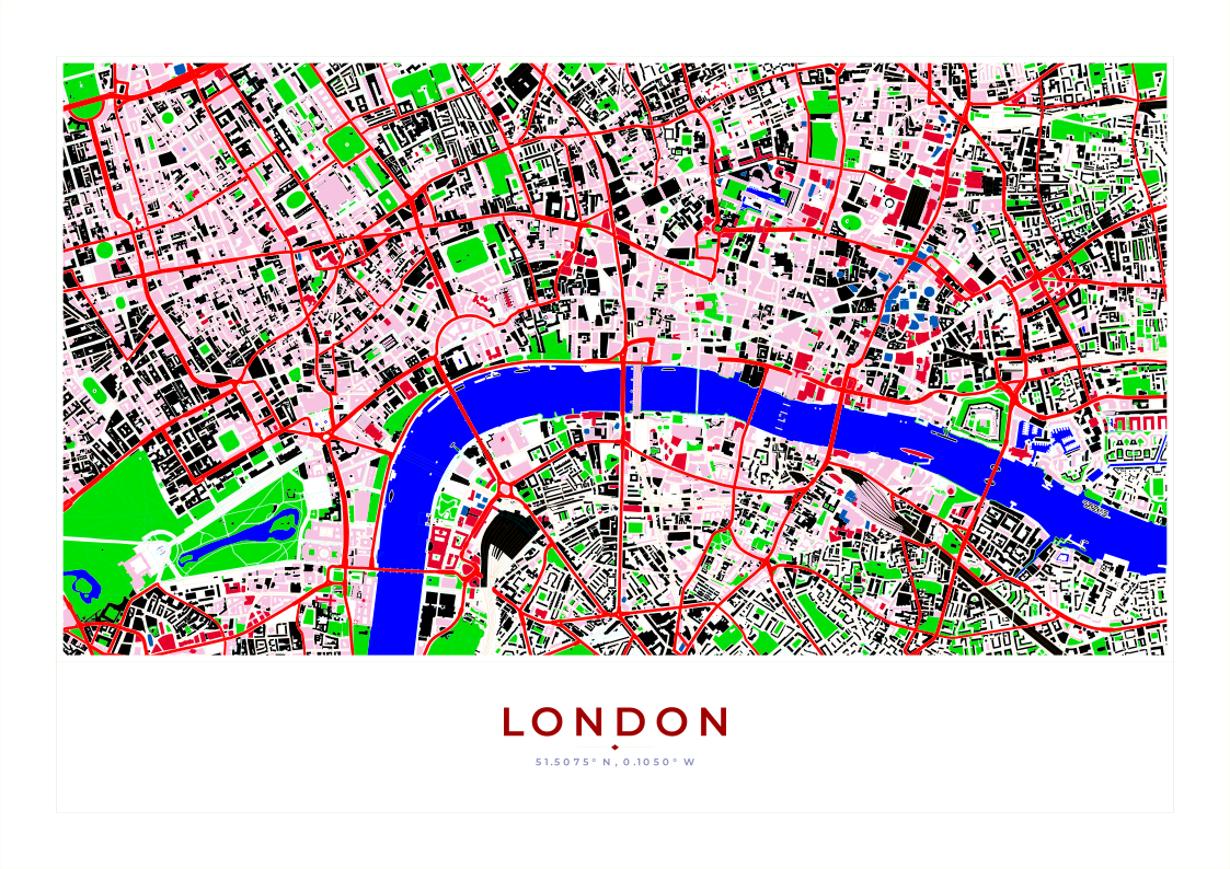
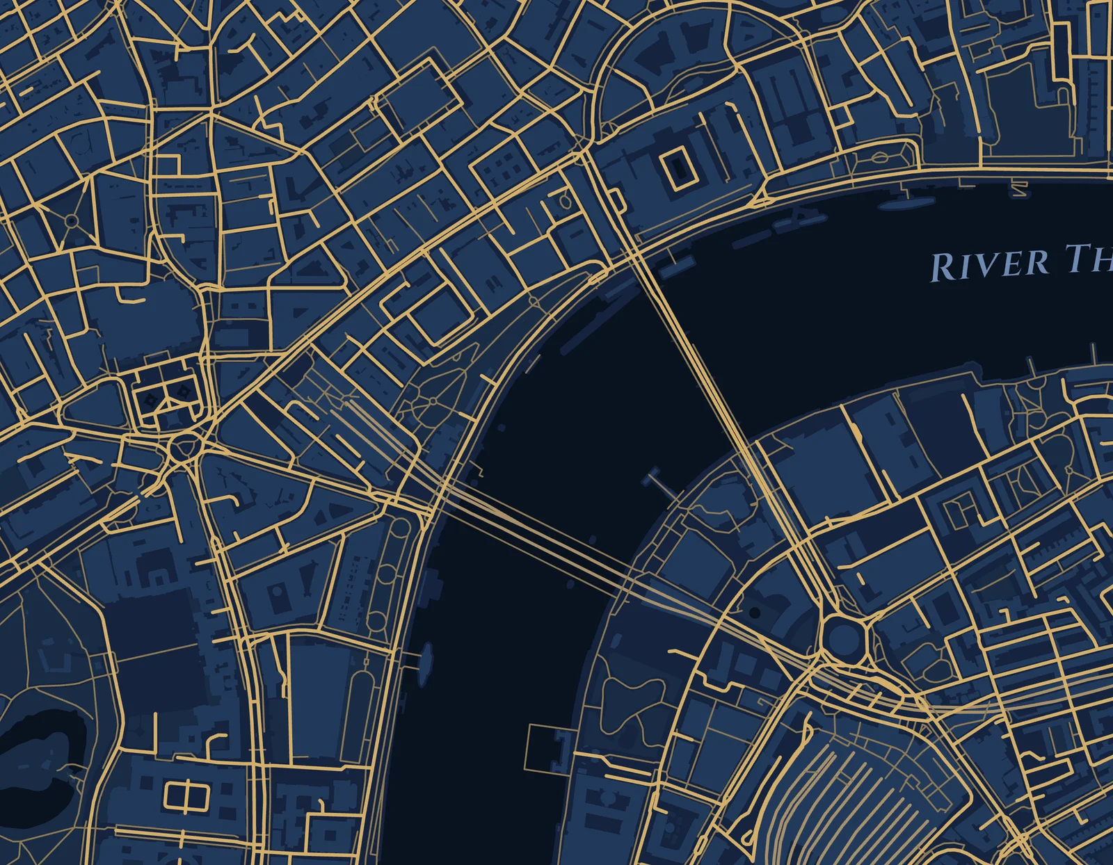
Central London on A3, gold on navy, with the Thames named.
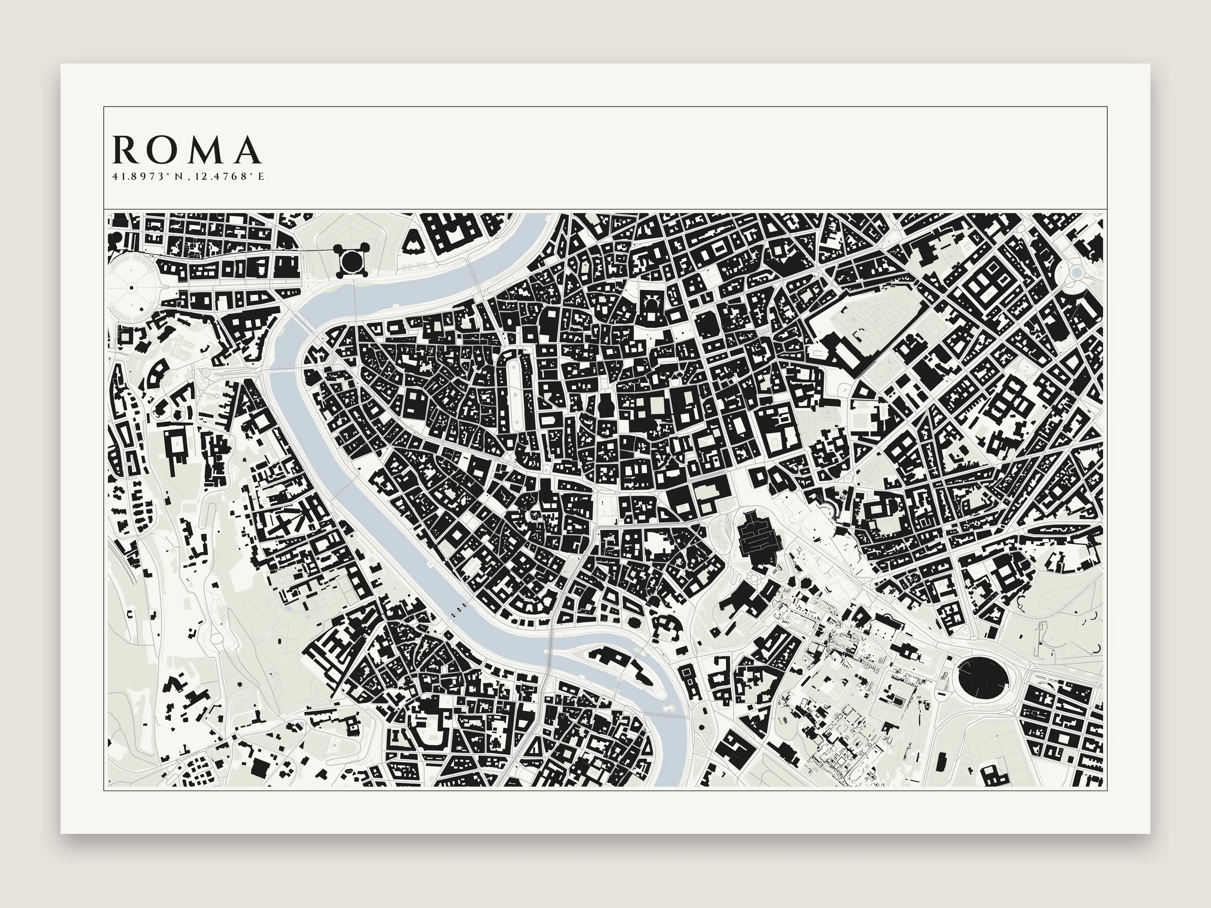
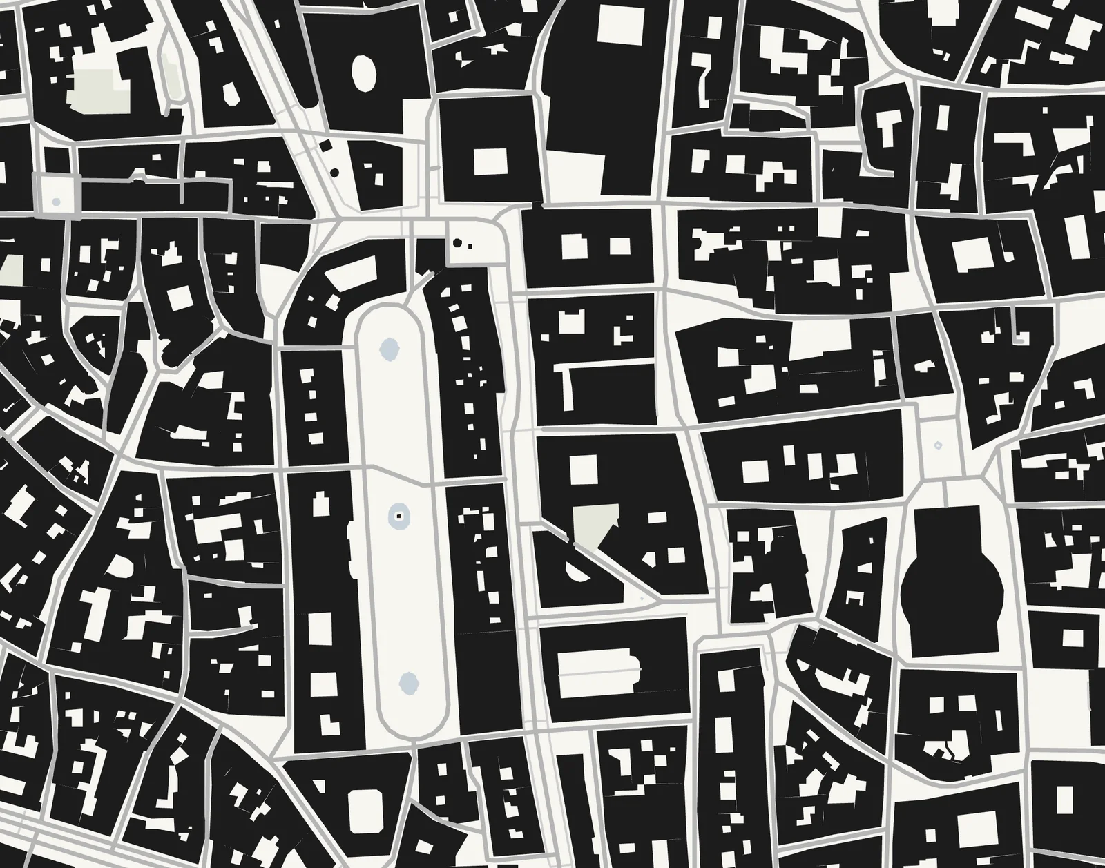
Black buildings and pale everything else, like Nolli's 1748 map of Rome.
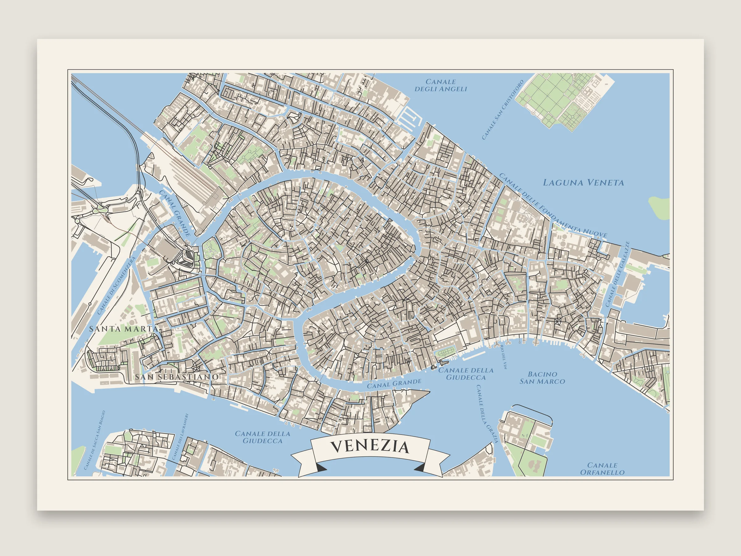
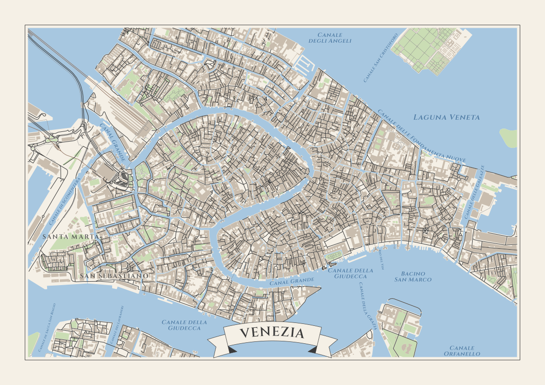
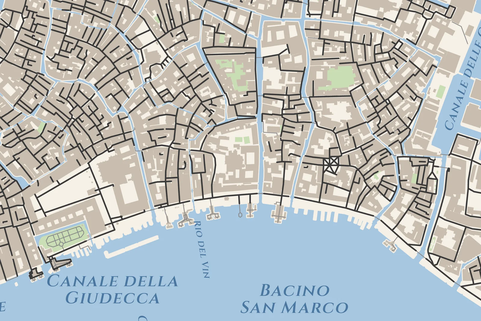
Canal and lagoon names in slanted serif, the way water is usually named on a map. The lagoon was renamed by hand in the preview.
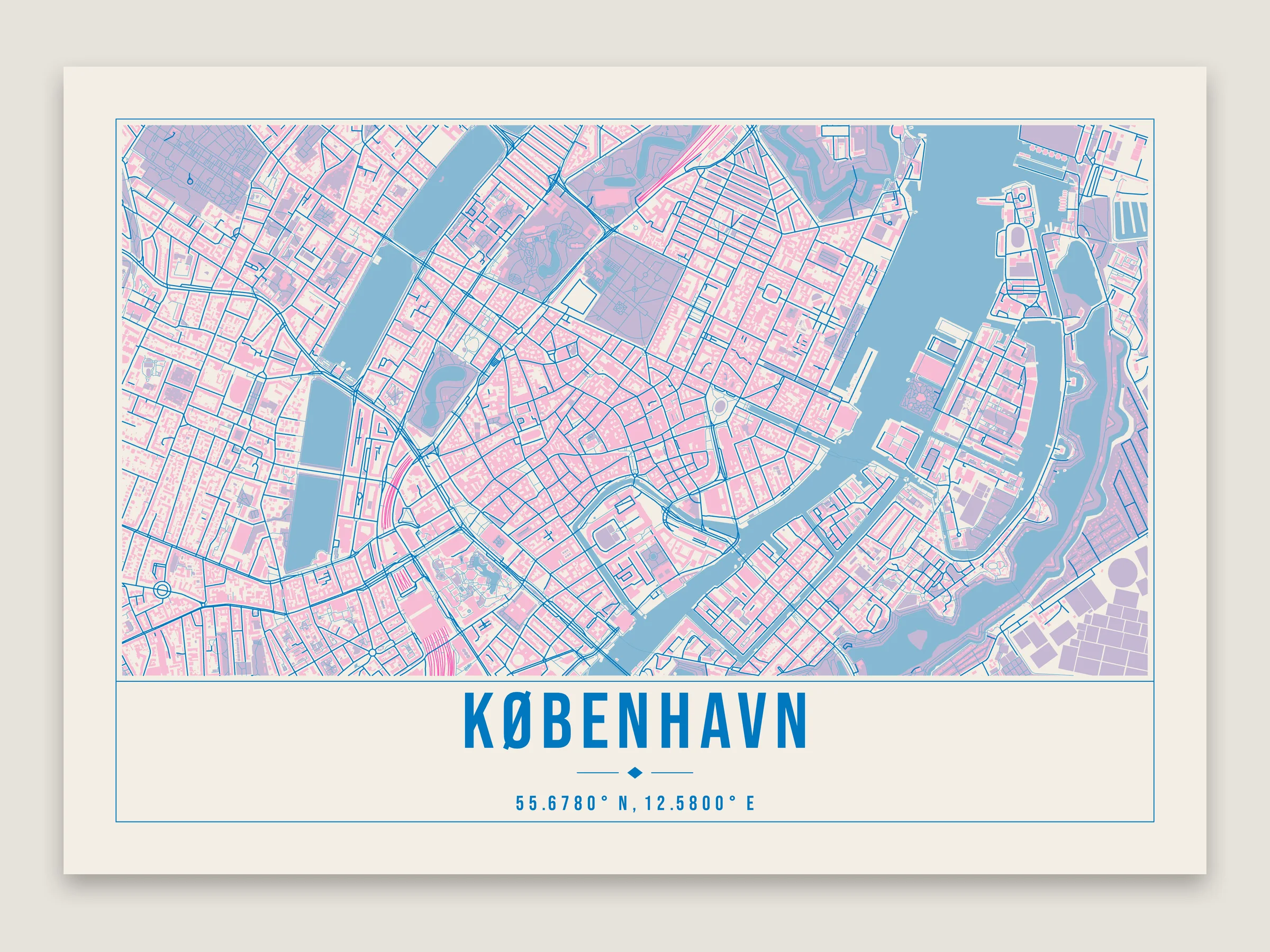
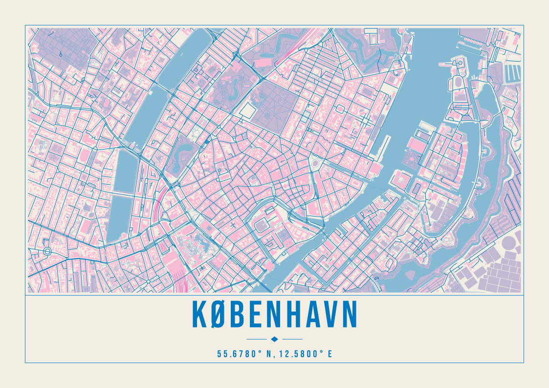
Two inks, fluorescent pink and blue, with the parks where they overprint.
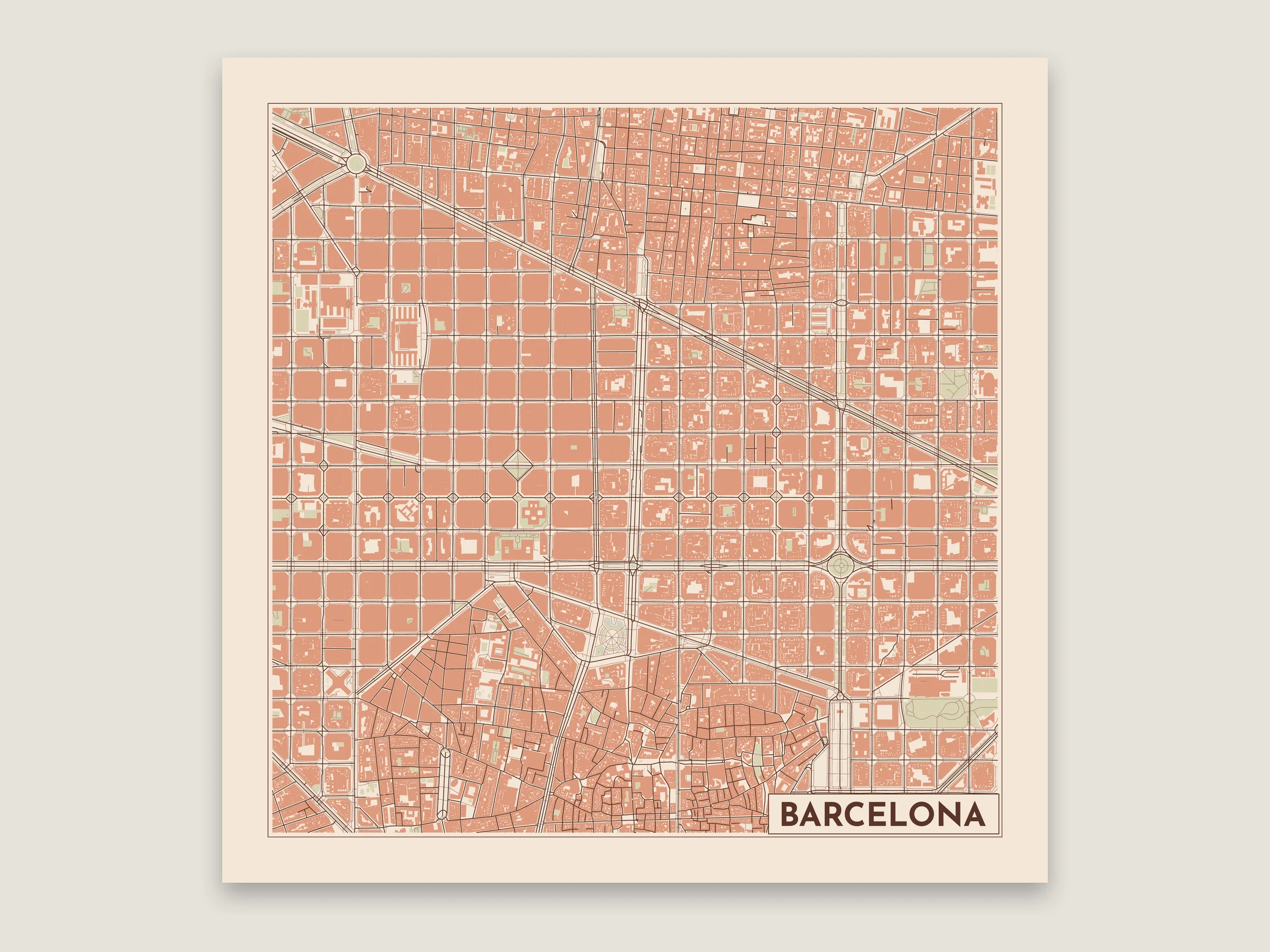
The Eixample turned 45° so its grid sits square on a 300 mm print.
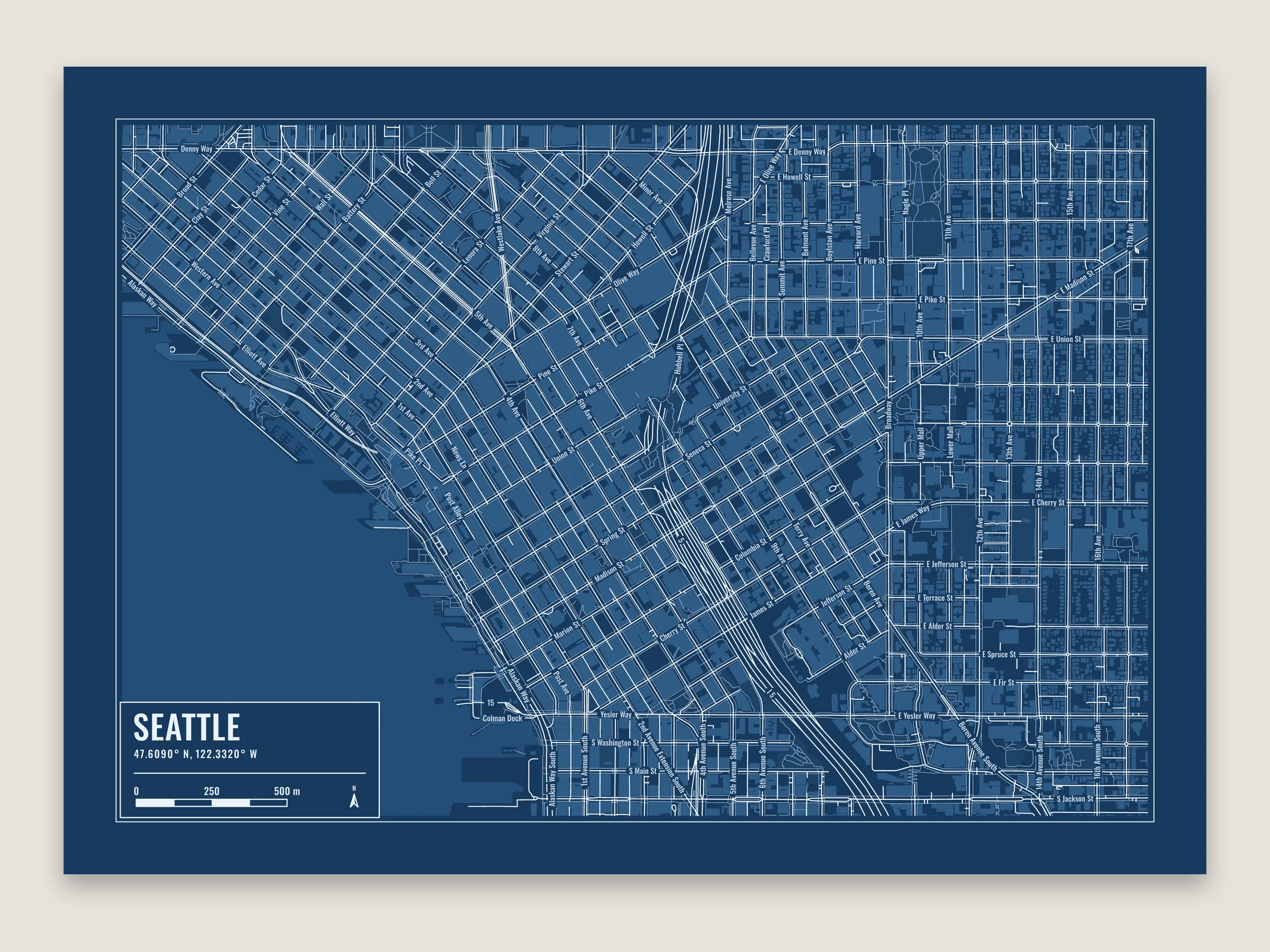
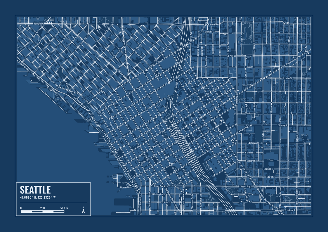
Downtown Seattle with street names and the legend.
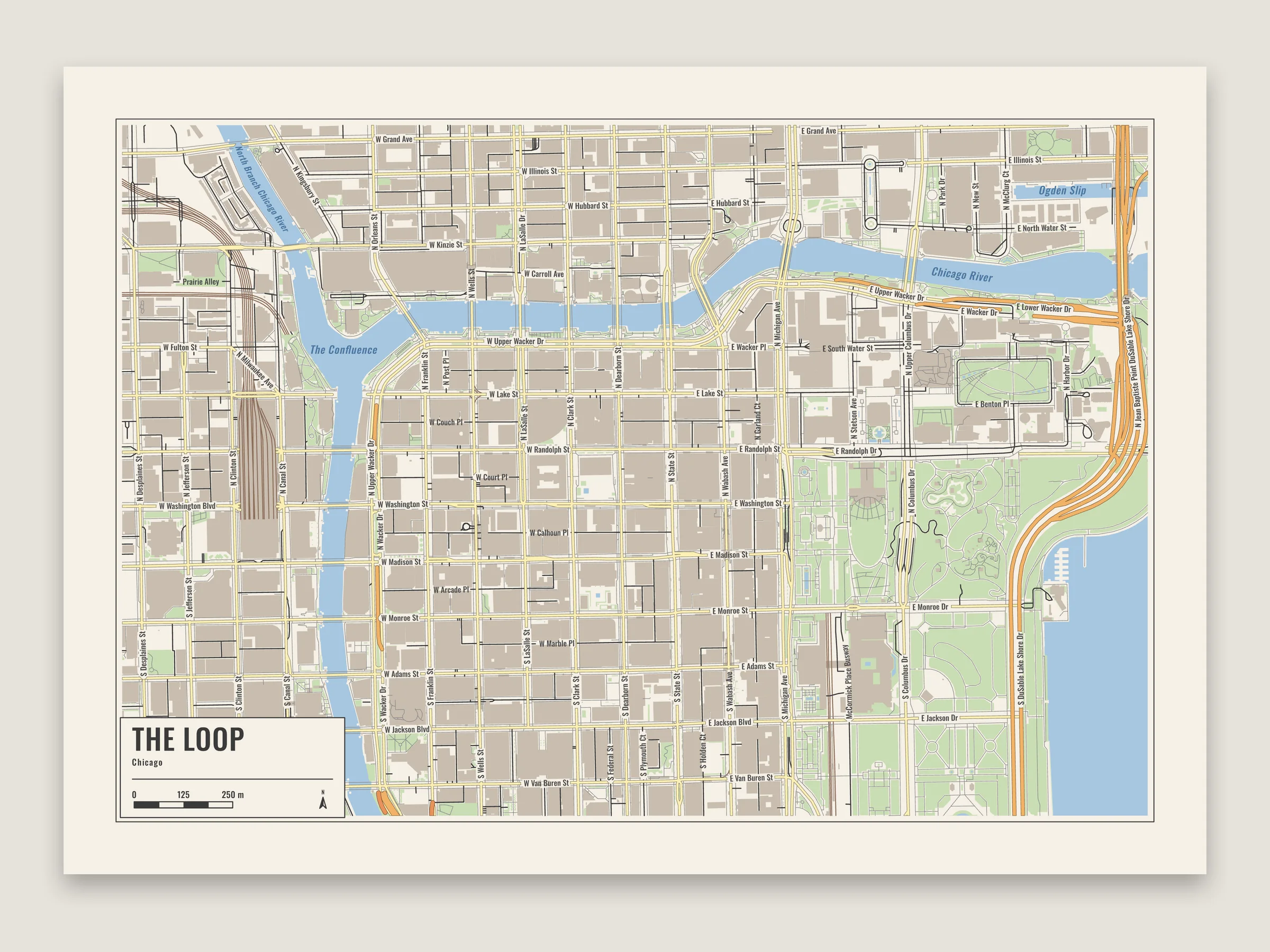
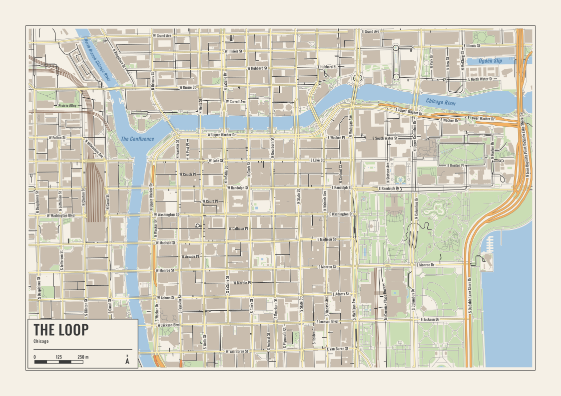
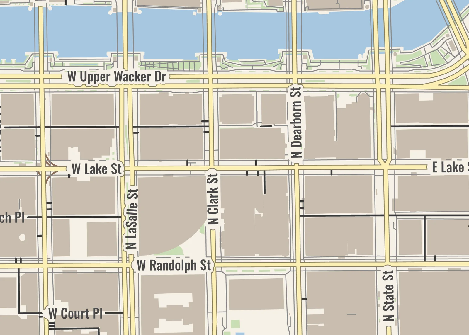
Main roads as filled bands with darker edges, like a road map, with street and river names.
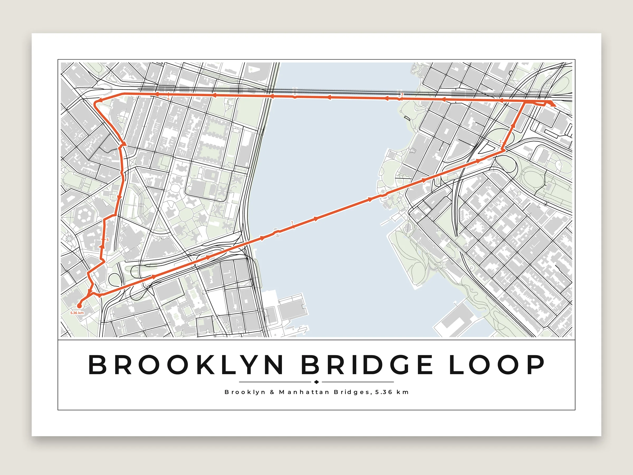
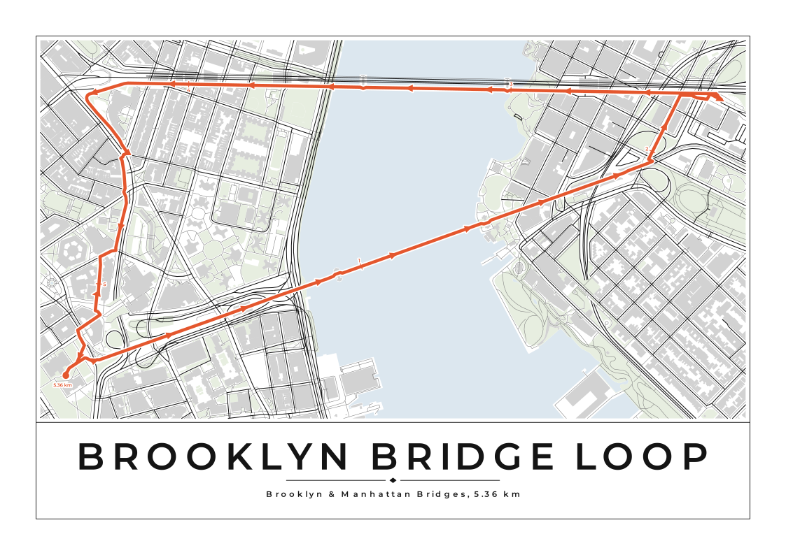
A 5.4 km loop over the Brooklyn and Manhattan Bridges, turned to fit the piece. Kilometer ticks, arrows and the distance in the subtitle.
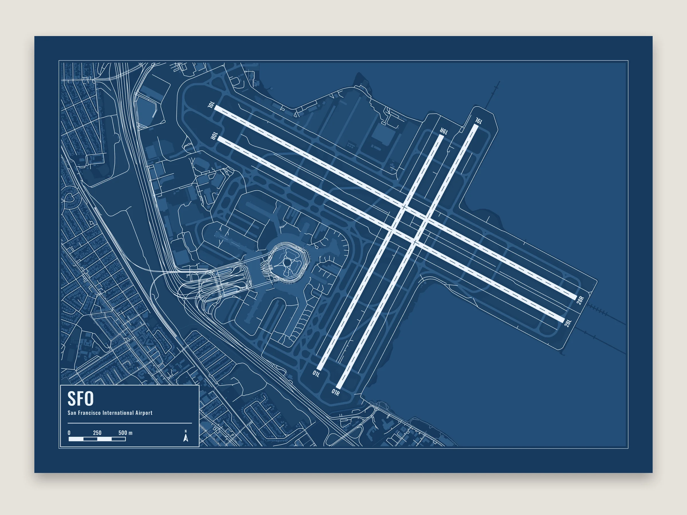
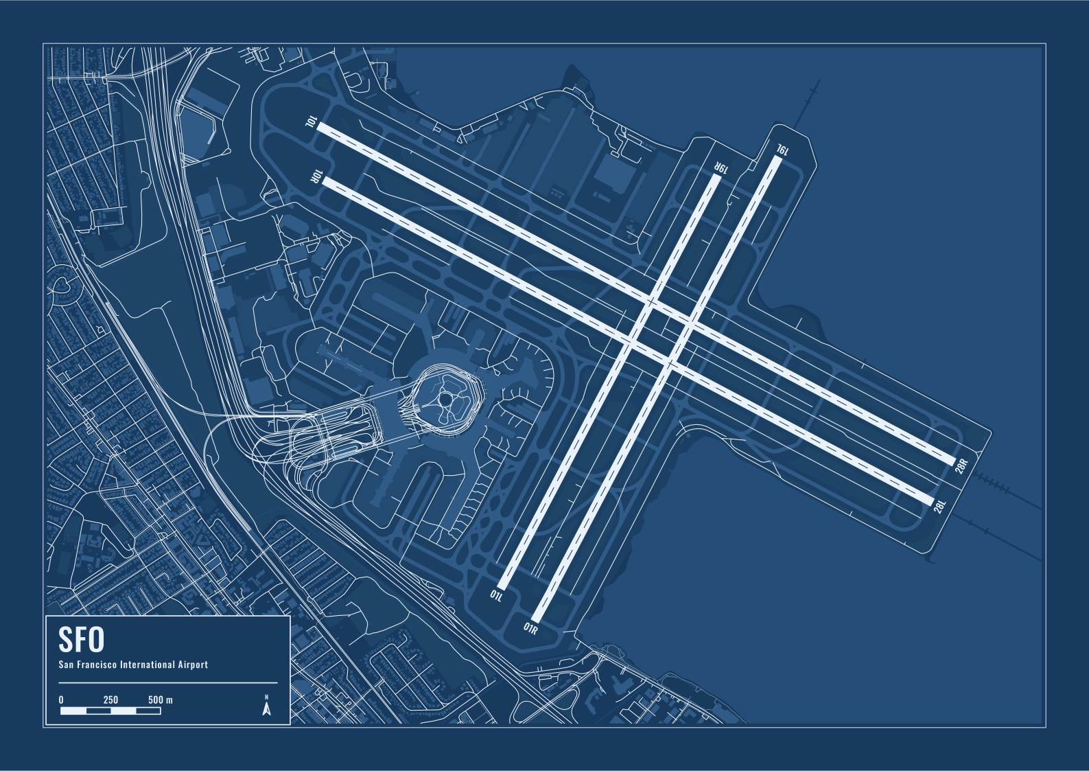
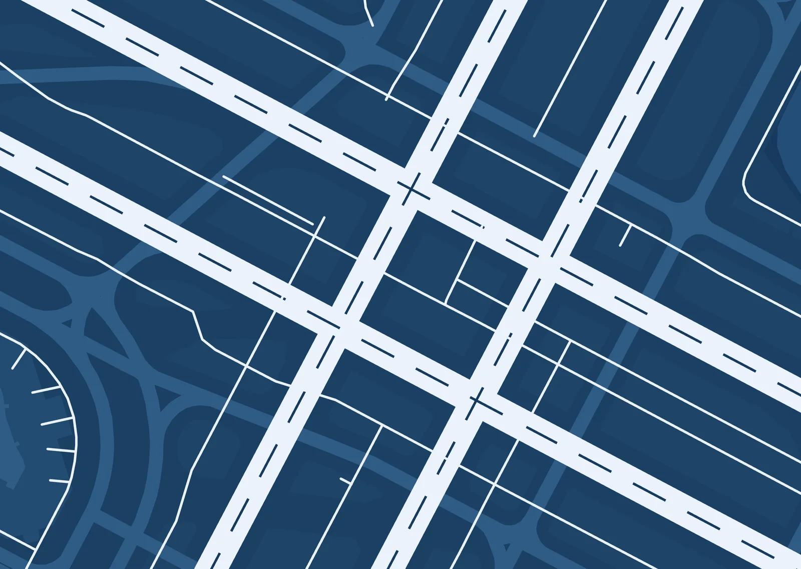
The airport setup in the Blueprint theme, on A3. Runways in white with a dashed centerline and their numbers at each end, turned the way they are painted, over the taxiways, aprons and the grass between them.
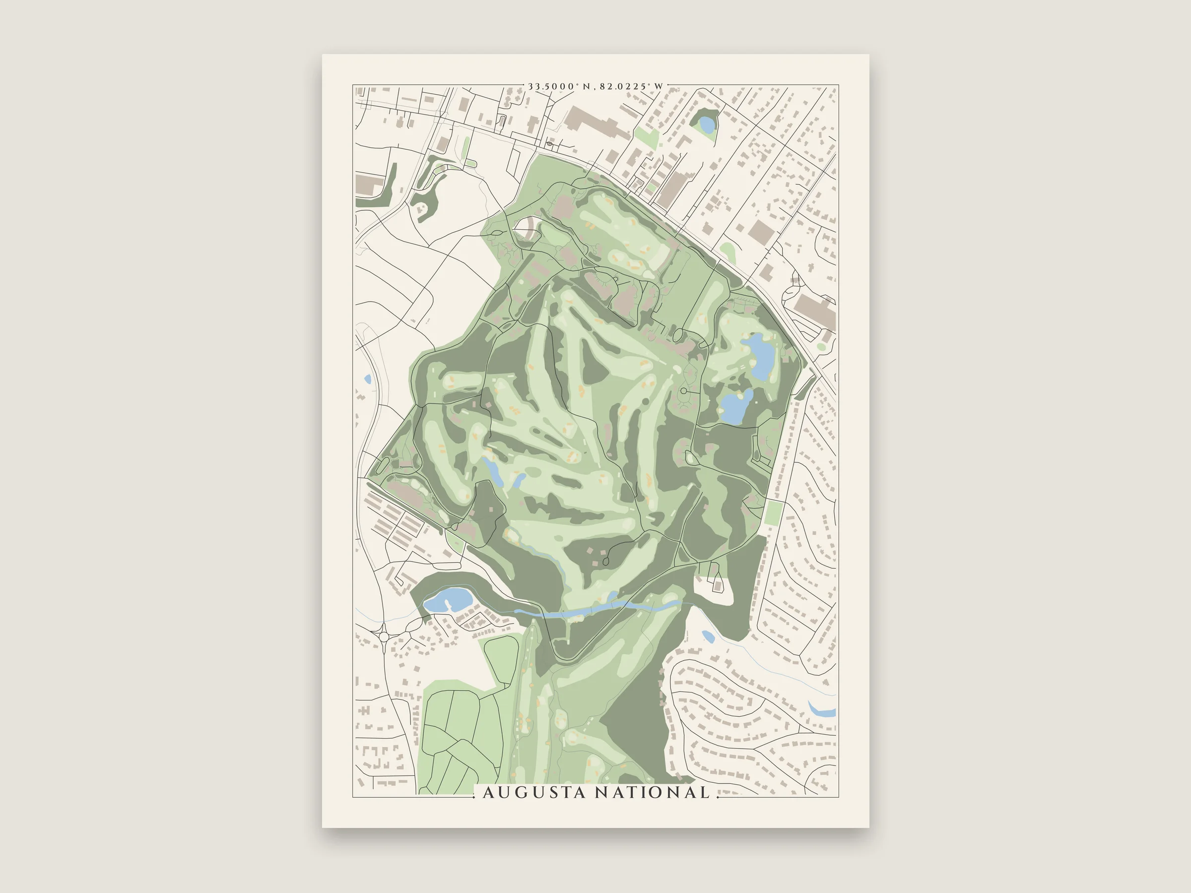
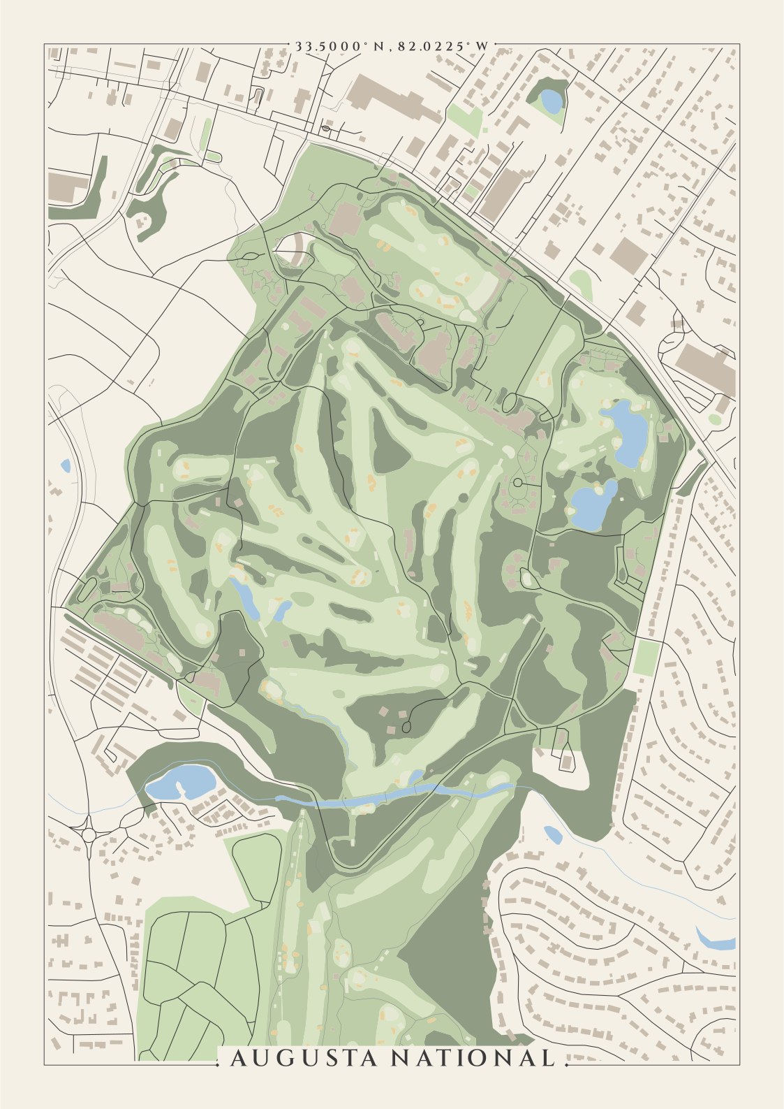
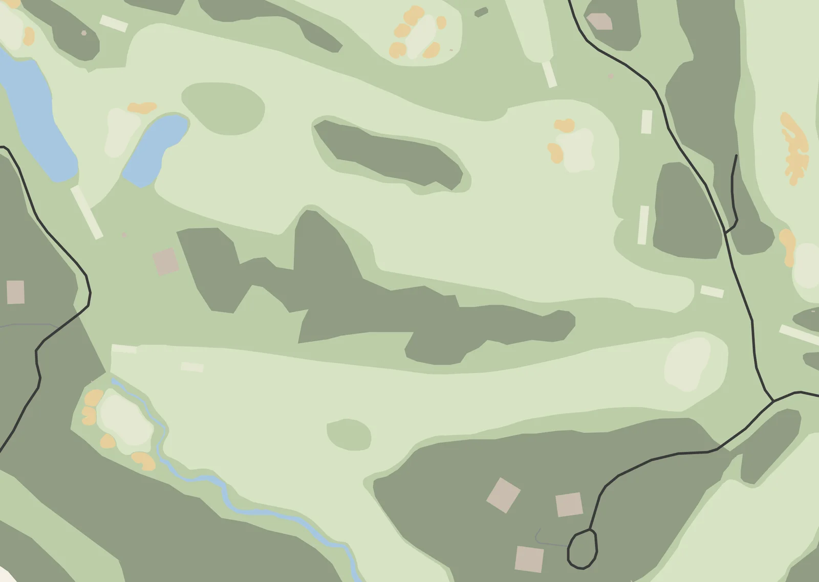
The golf course setup on an A3 poster. Fairways, putting greens and tees get lighter toward the hole, with the bunkers in sand and the woods between the holes darker. Rae's Creek runs along the bottom.
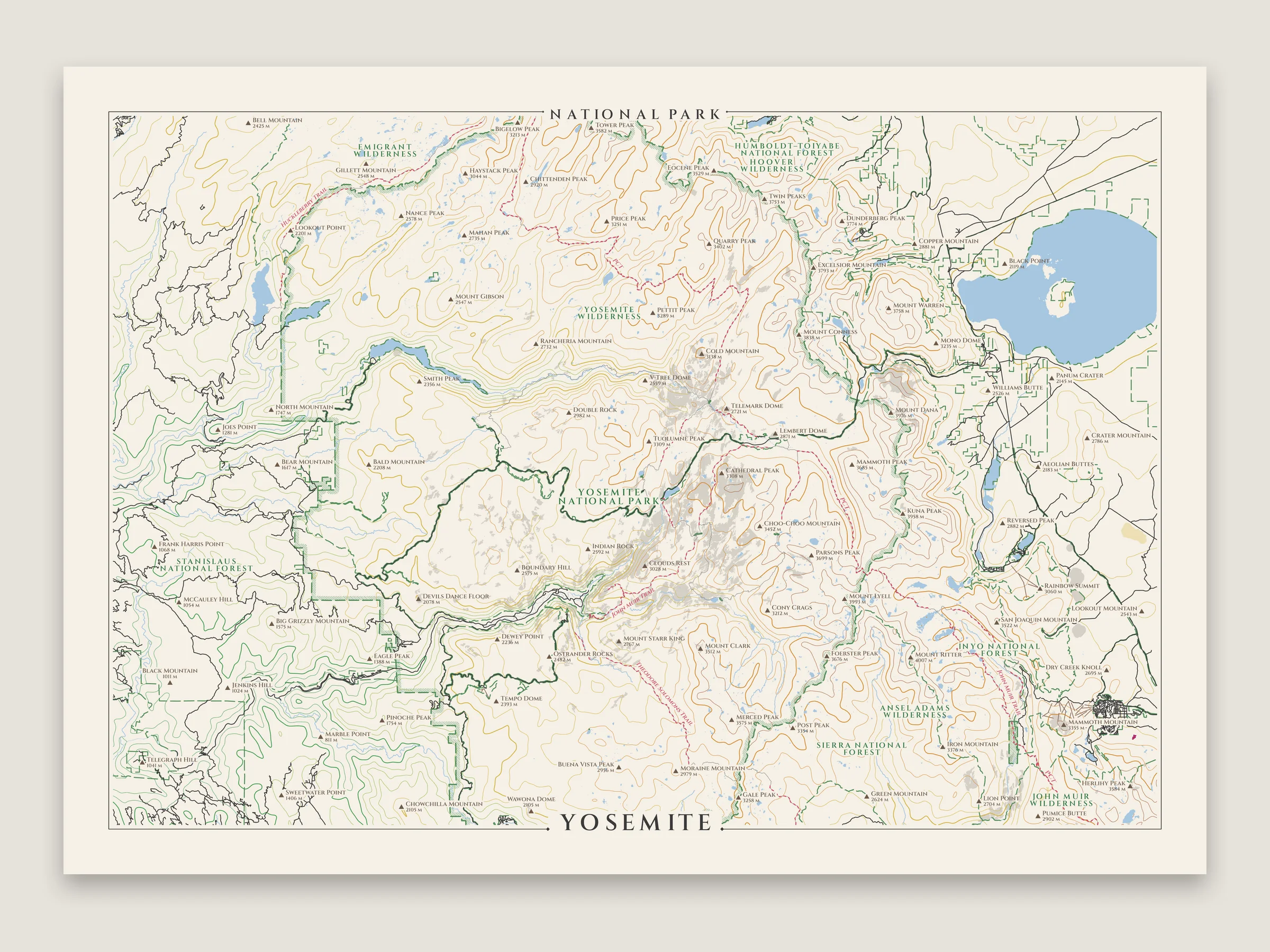
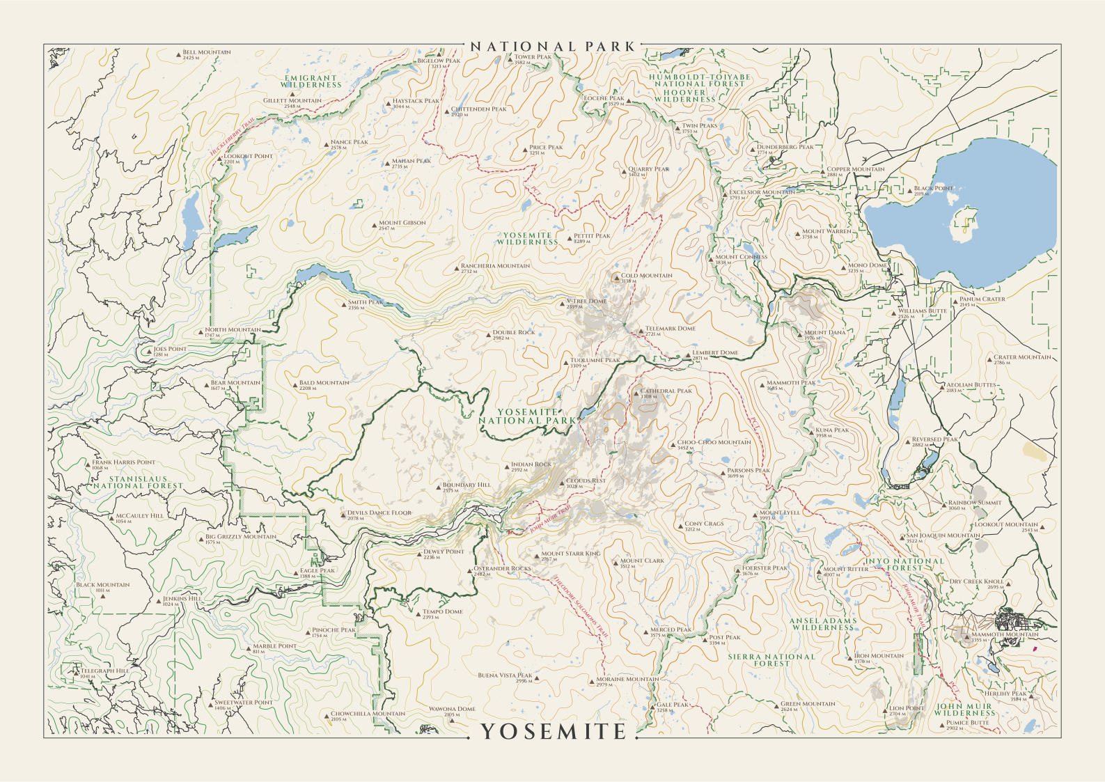
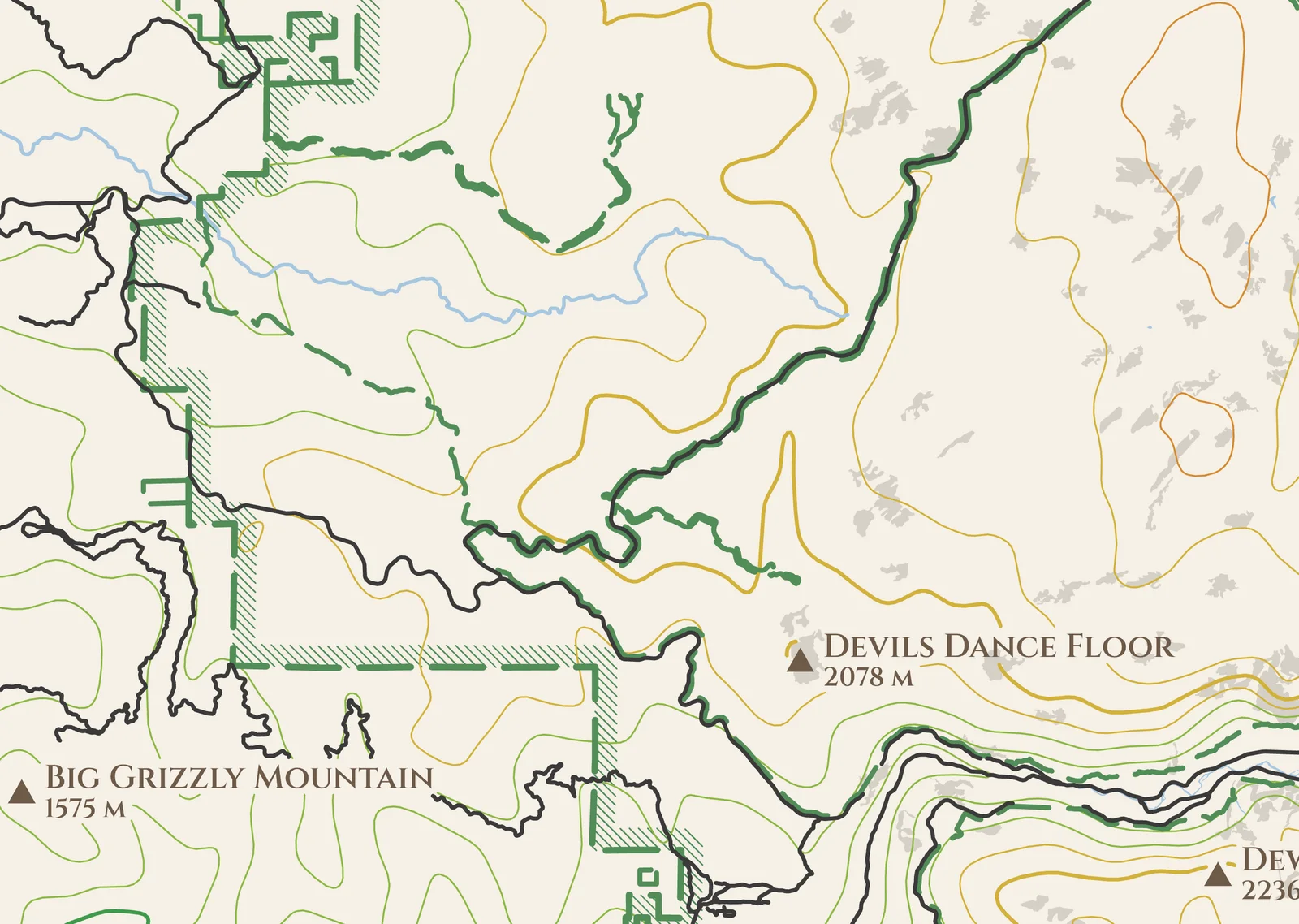
The park and hike setup with the hills one, on A3 at 1:260,000. The park has a hatched band along the inside of its boundary, and the wildernesses and national forests around it are named in green. The Pacific Crest and John Muir trails cross it in red.
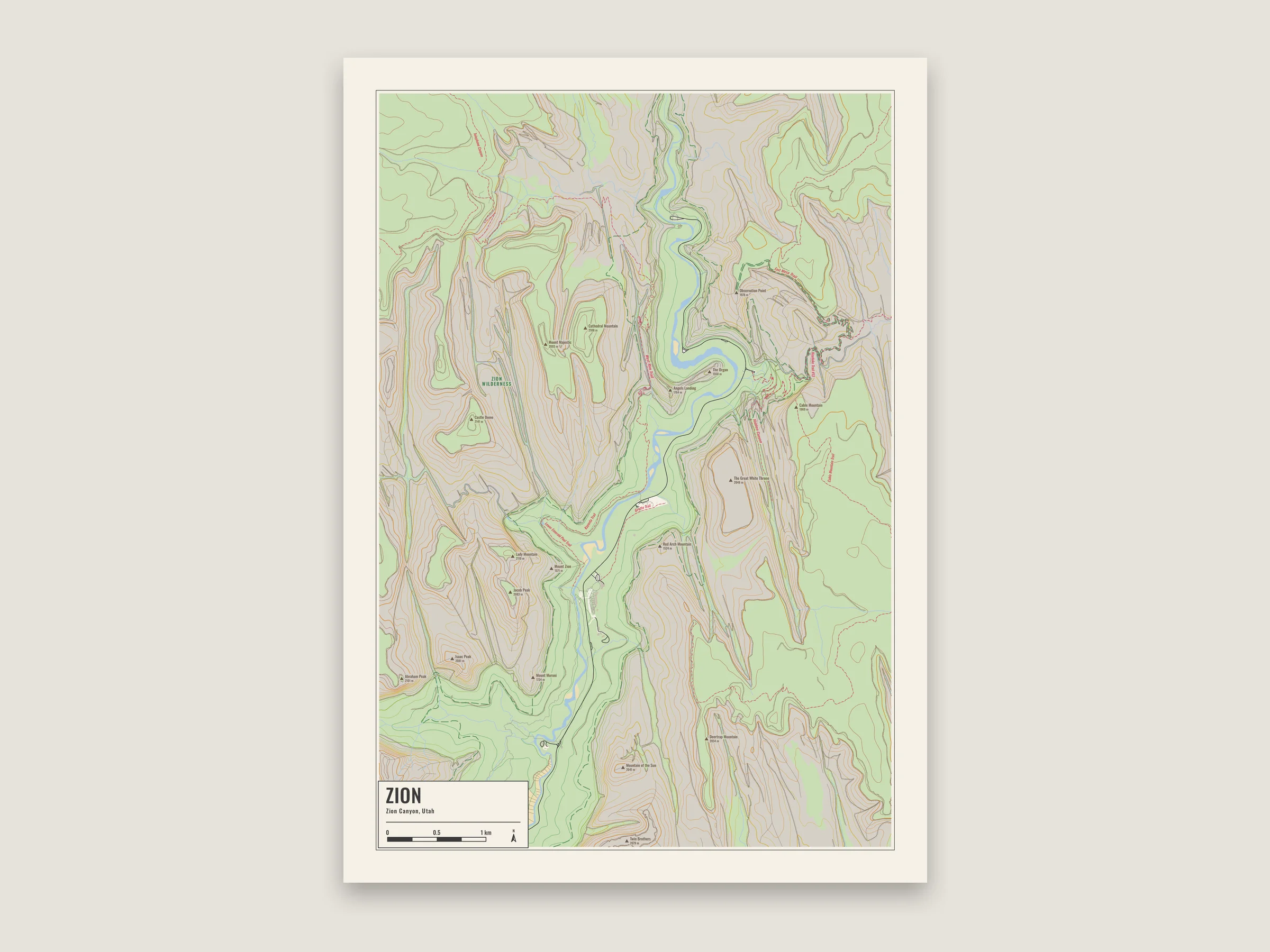
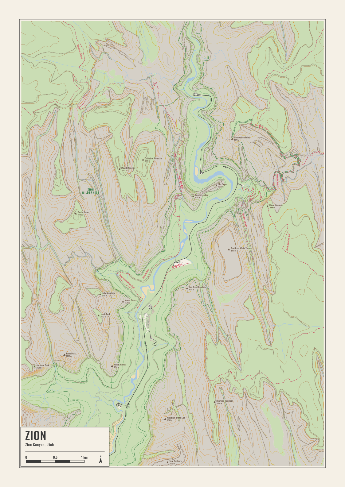
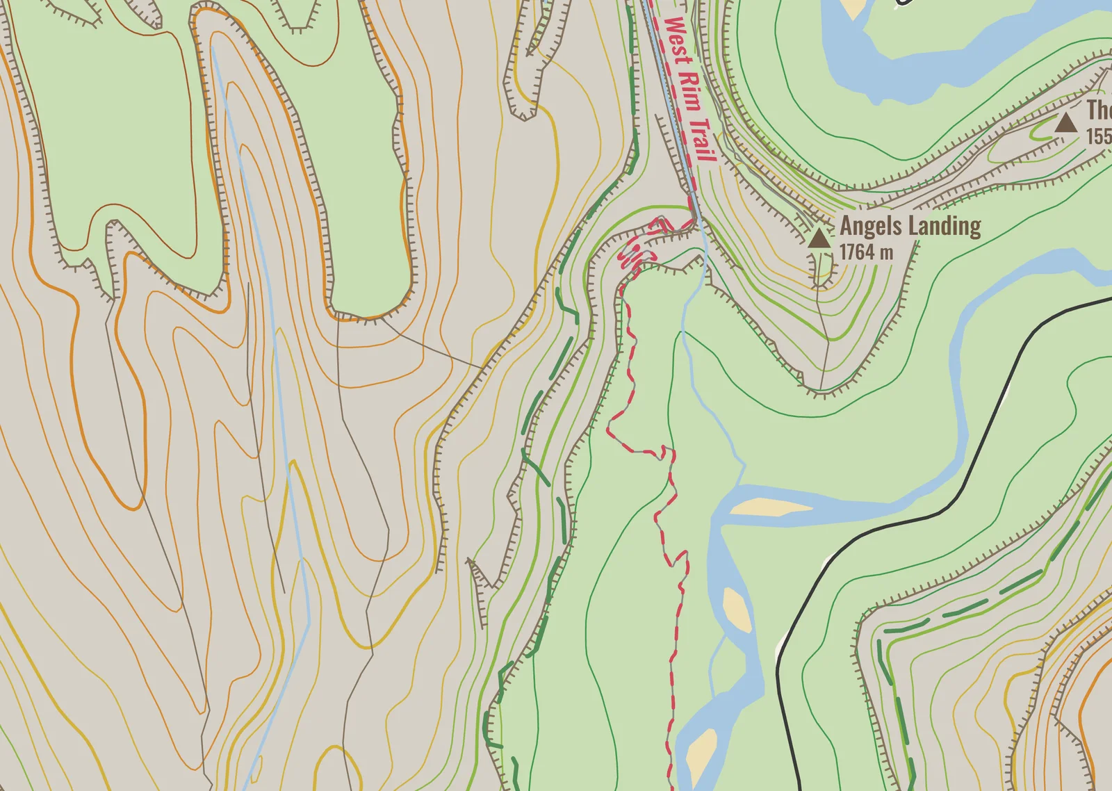
The park and hike setup with elevation lines on an A3 poster. The cliffs have teeth on their low side, and the canyon’s trails are dashed red with their names beside them, like the West Rim Trail past Angels Landing.
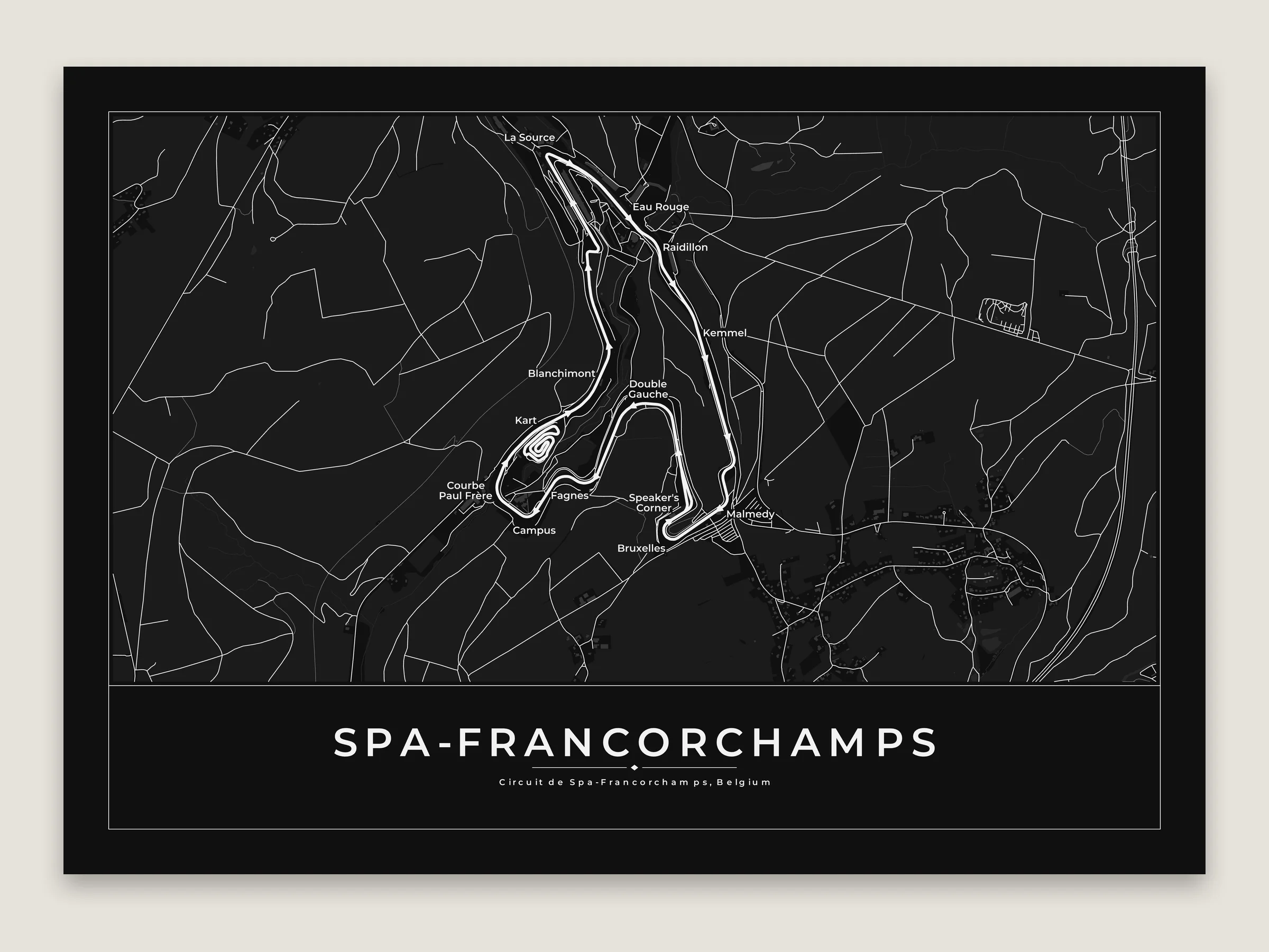
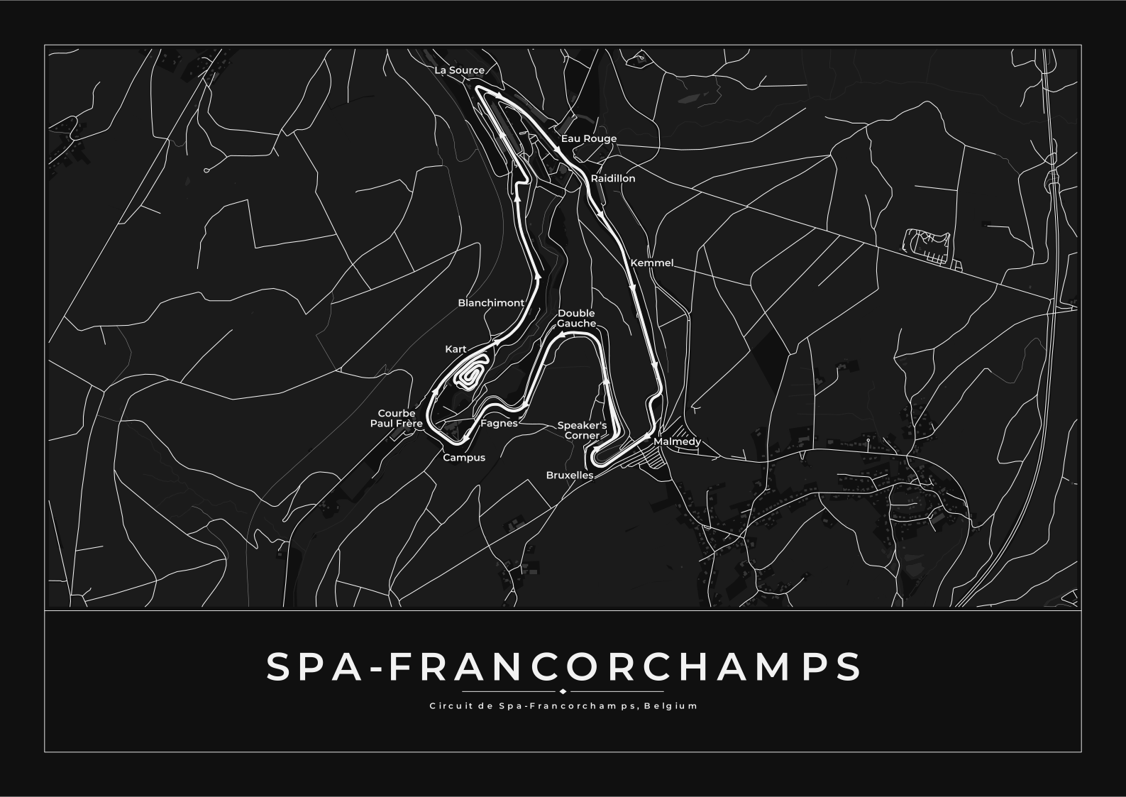
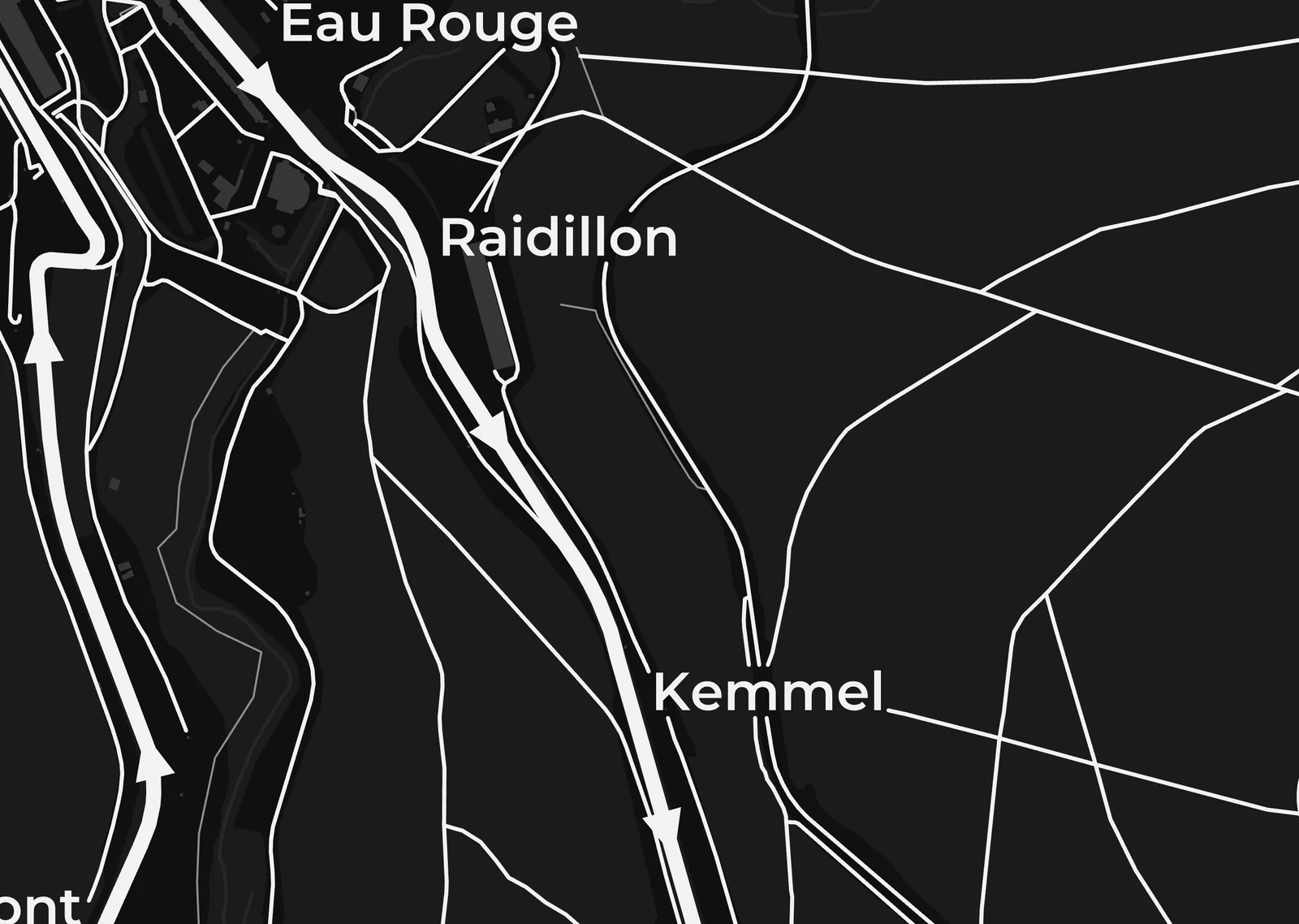
The racetrack setup on an A3 poster in the Noir theme. A white track with arrows the way the cars go and a thinner pit lane, with the corners named from La Source through Eau Rouge and Raidillon to Blanchimont.
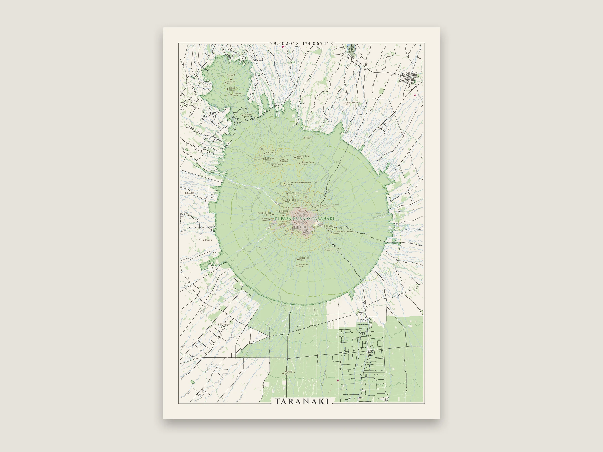
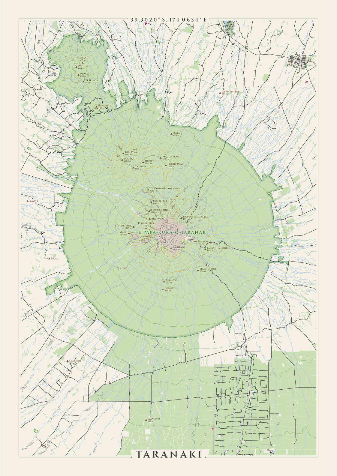
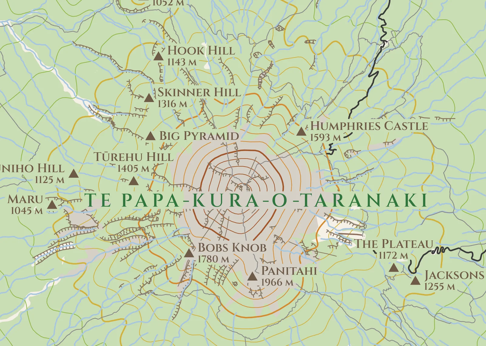
The park and hike setup with the hills one, on A3 at 1:104,000. Te Papa-Kura-o-Taranaki, Egmont National Park until 2025, is a circle about 9.6 km out from the summit, with the hatched band on the inside of its edge. Every stream runs straight off the cone.
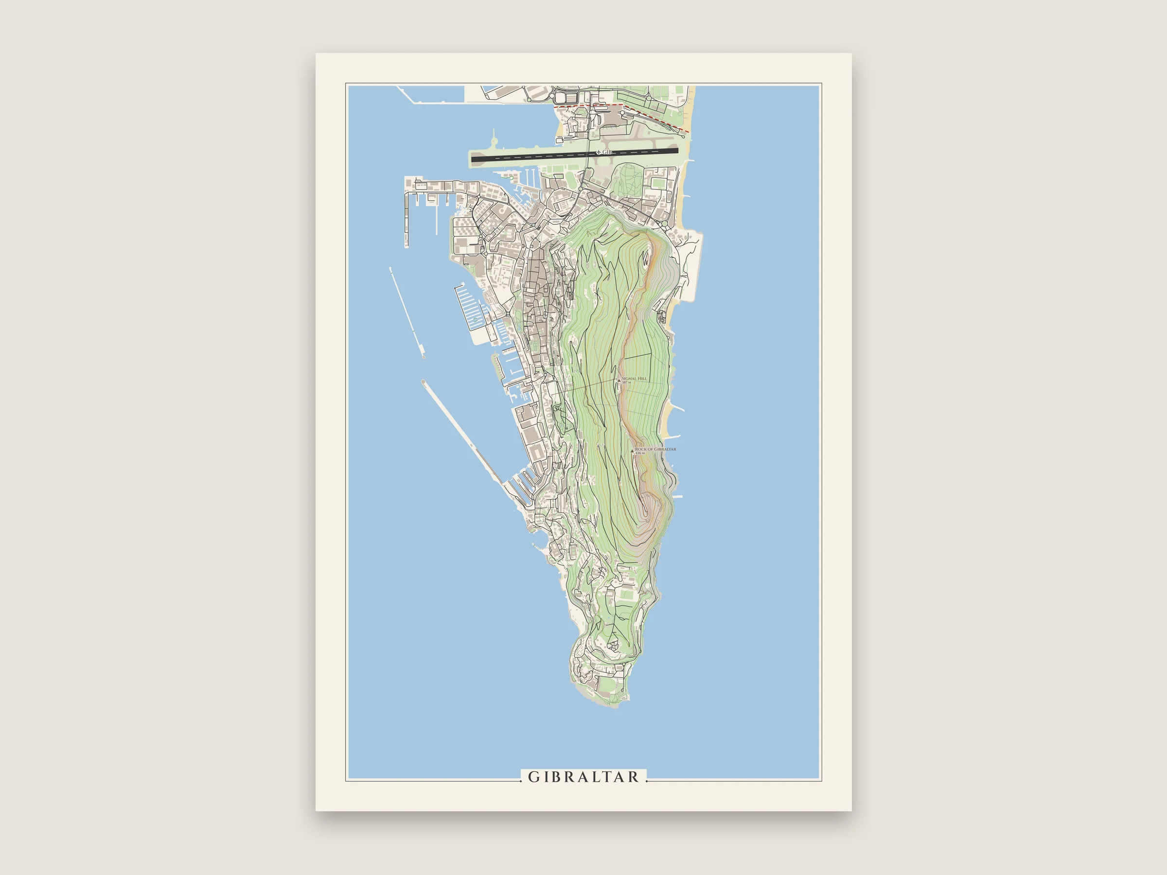
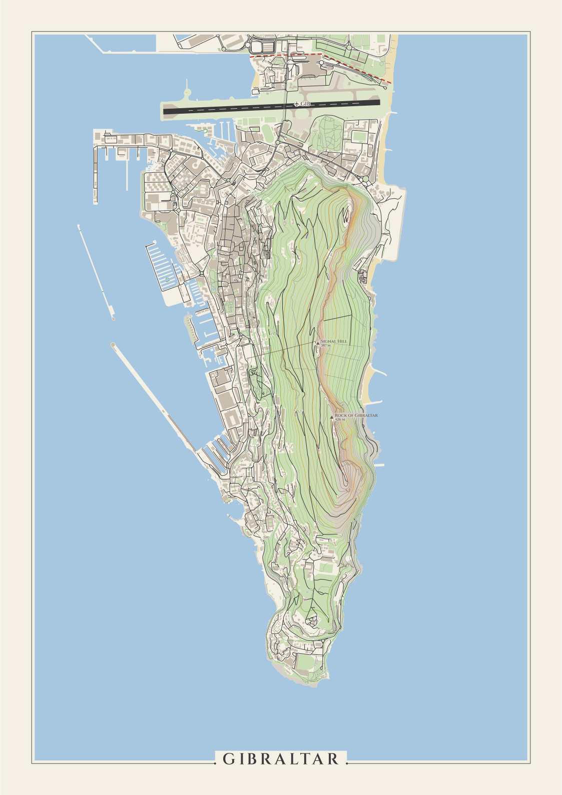
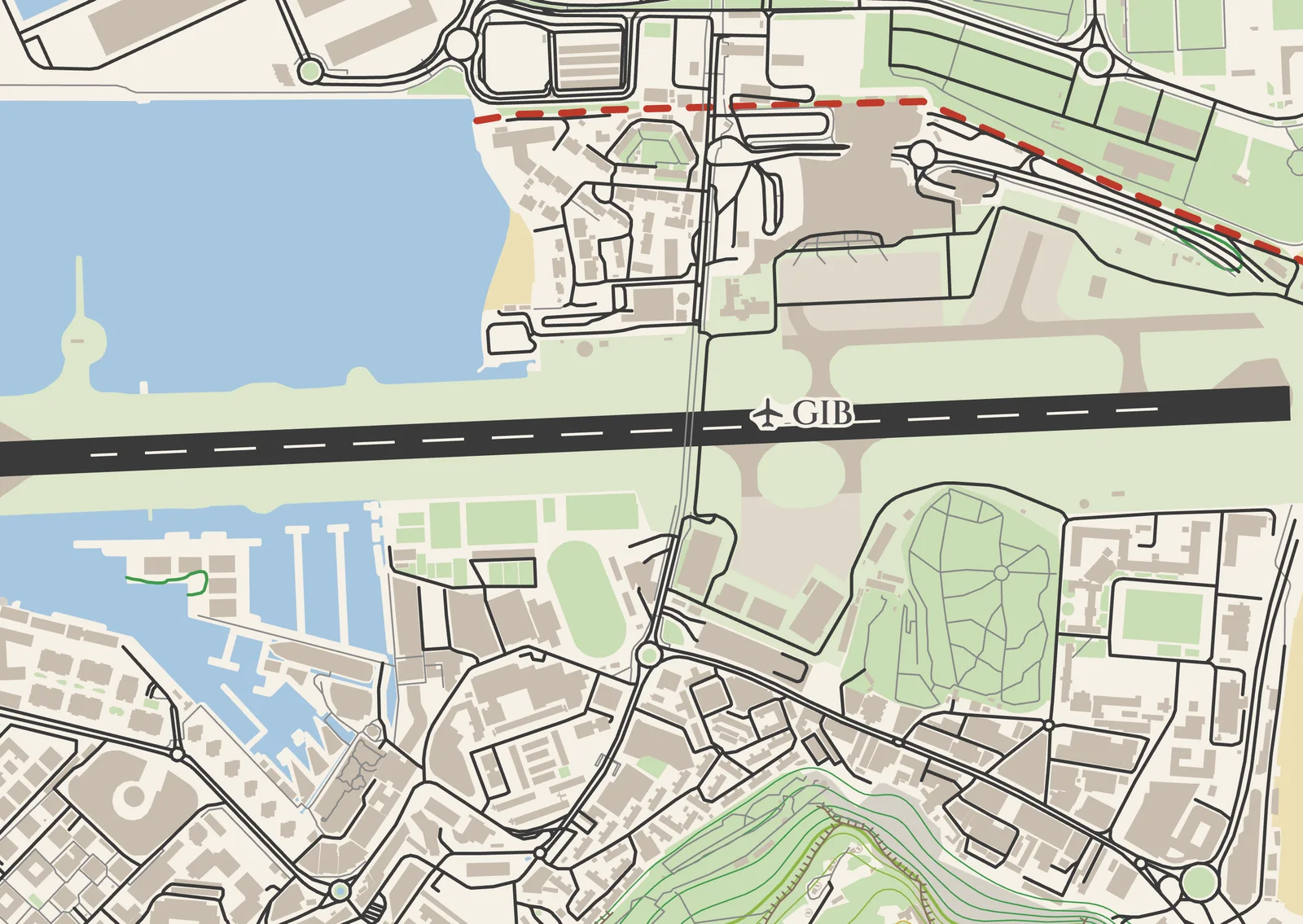
The airport, hills and borders together on an A3 poster. The runway crosses the isthmus with Winston Churchill Avenue running over it, the border with Spain is the red dashed line just north of it, and the Rock has its elevation lines colored by height.
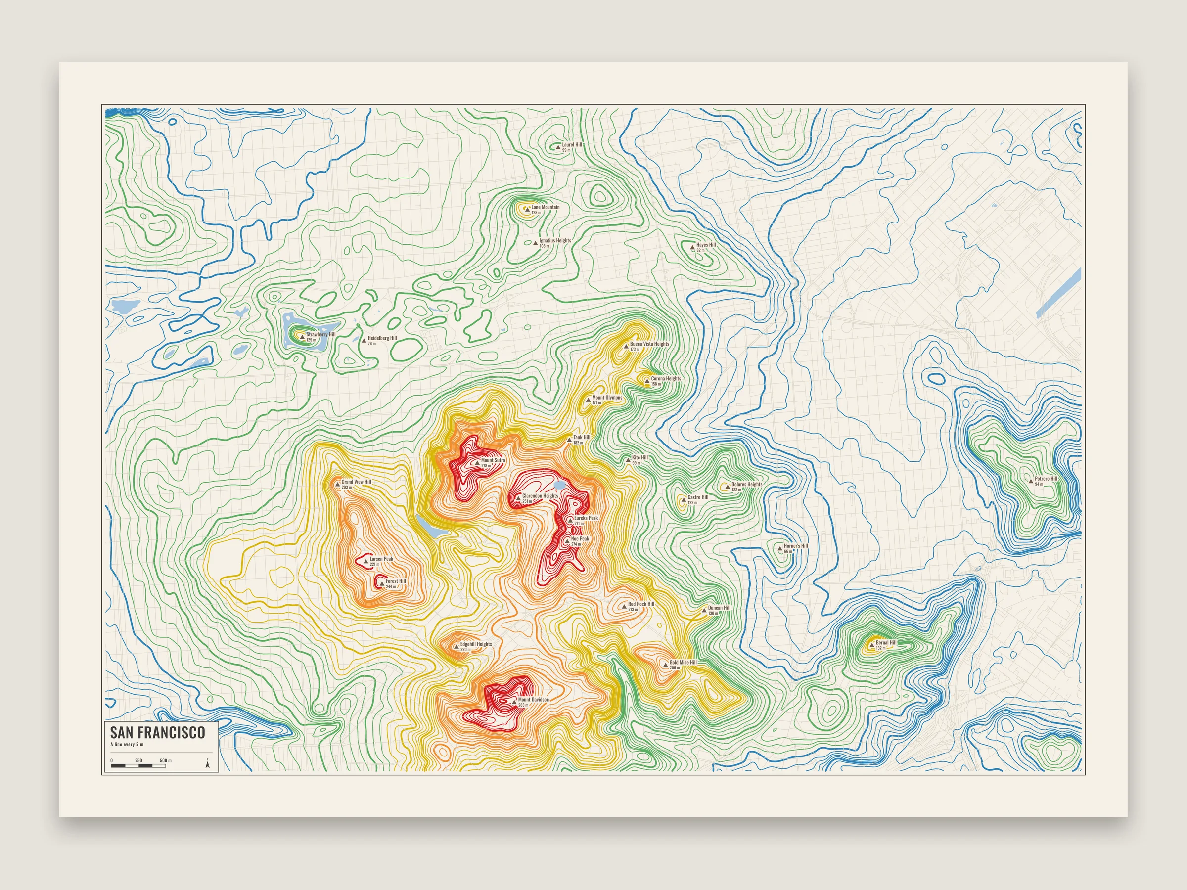
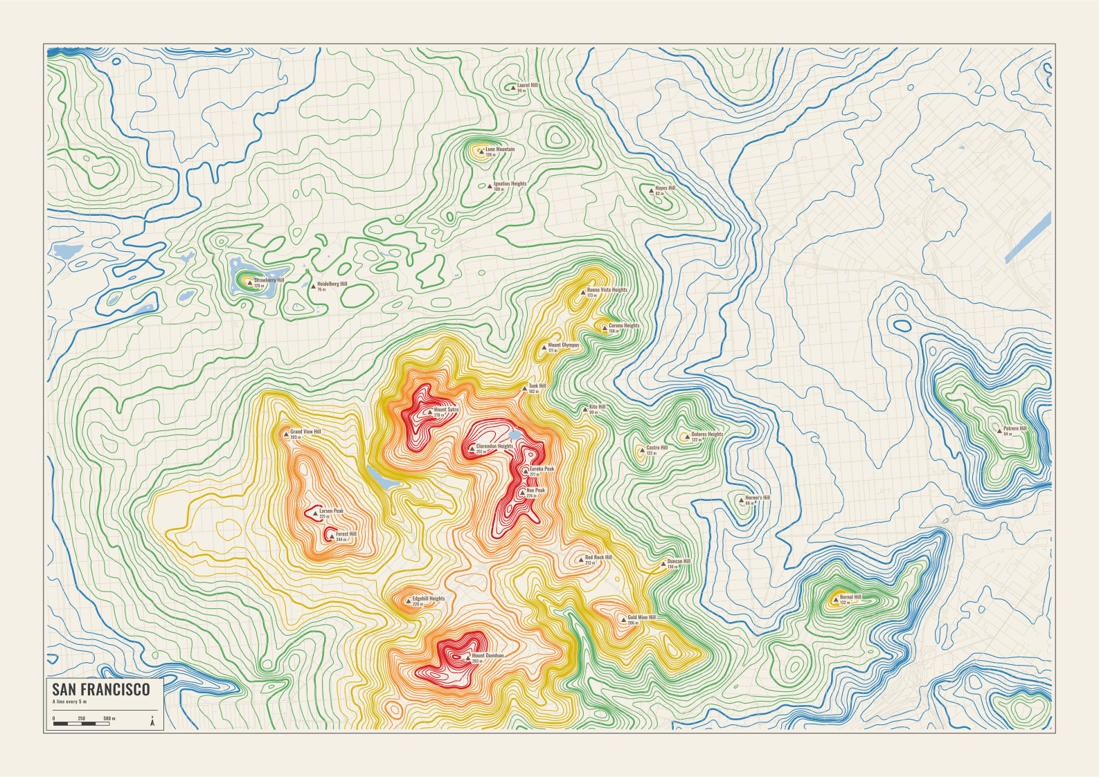
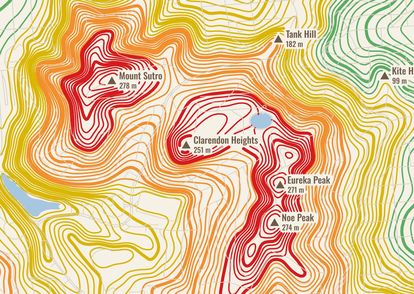
Elevation lines in a city, with the step set by hand to 5 m and colored by height. Everything else is off except the water and the streets, which are pale and thin enough to sit under the lines. Twin Peaks and Mount Sutro are red, and the flat Mission is a few blue lines.
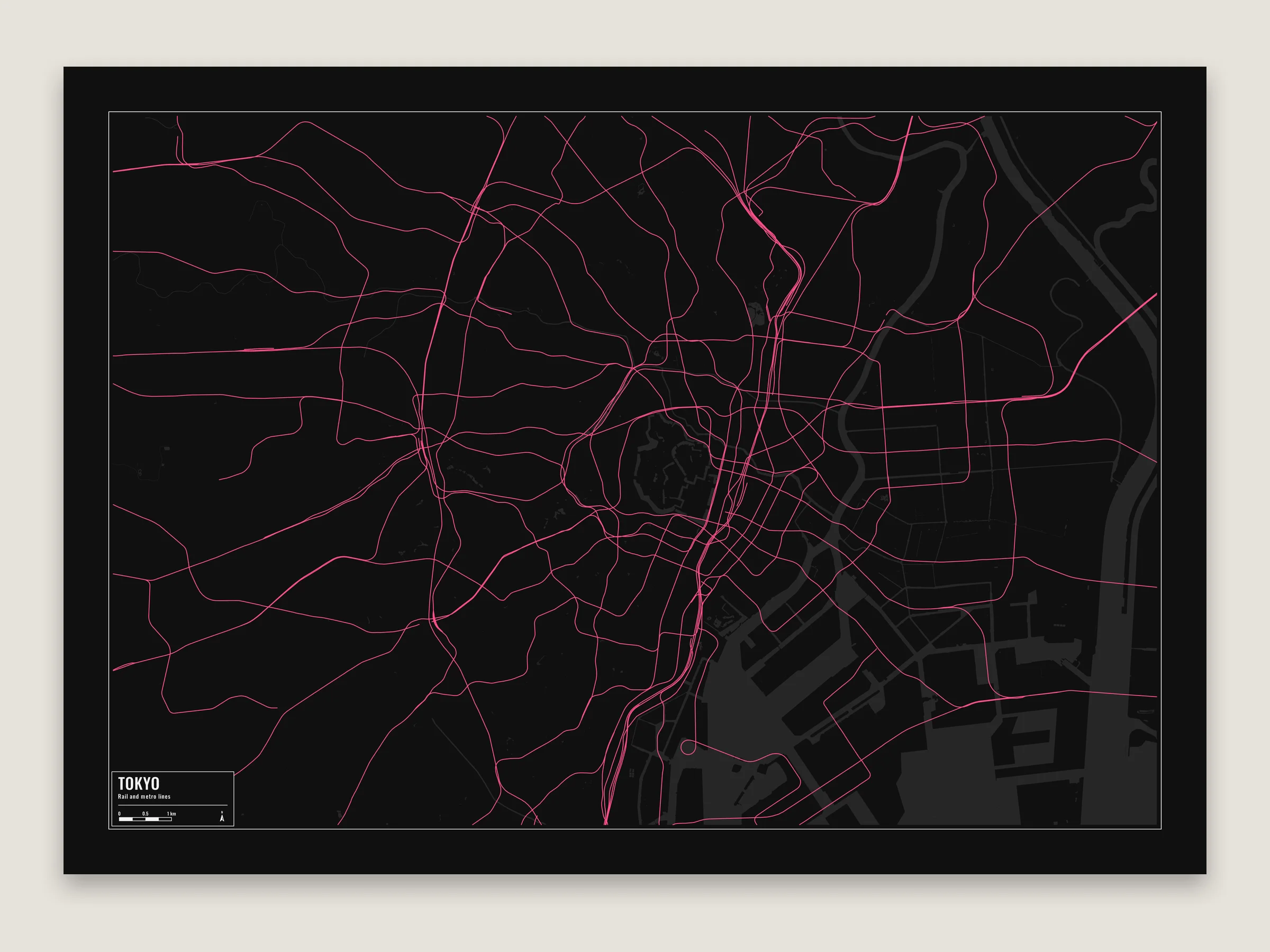
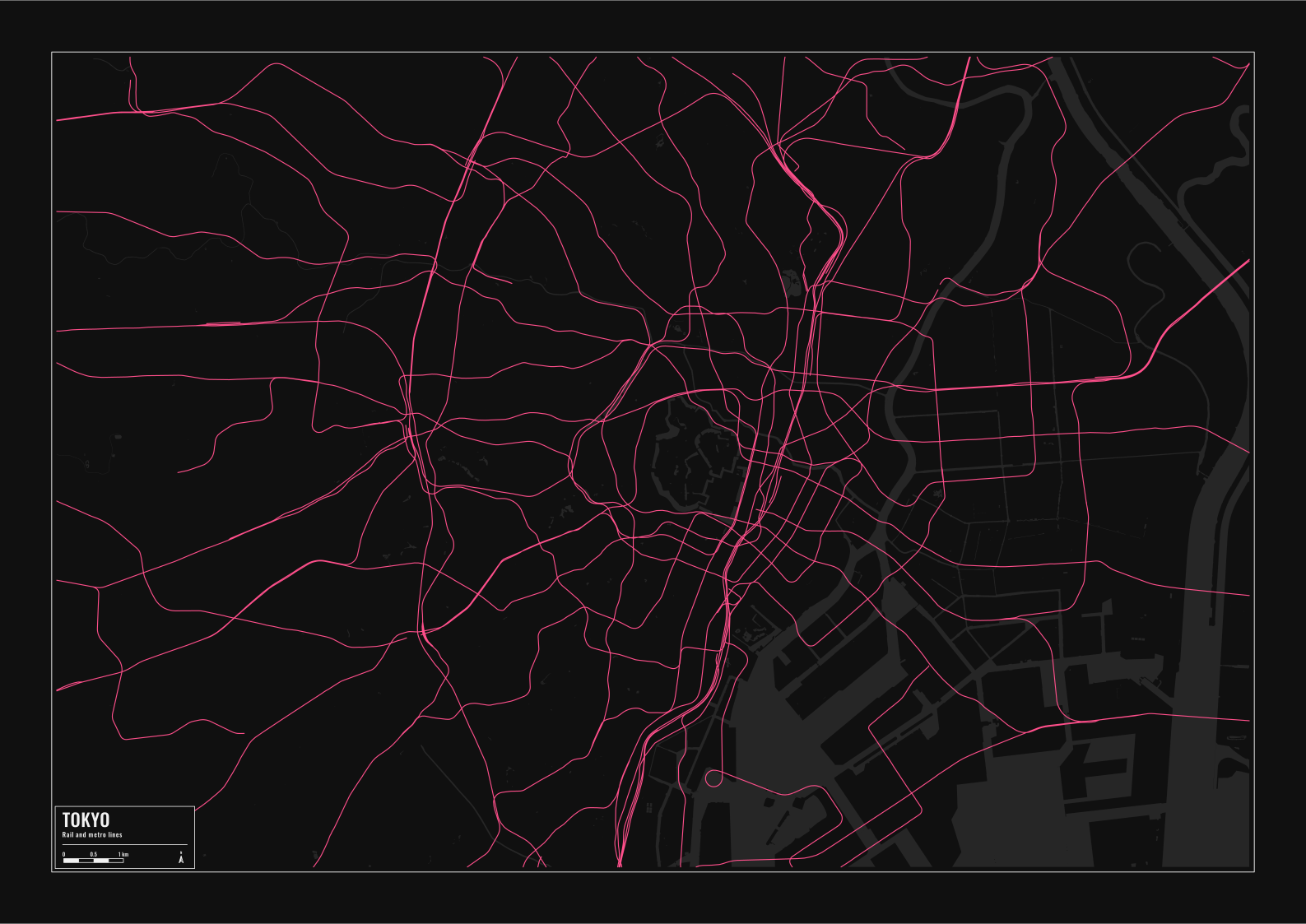
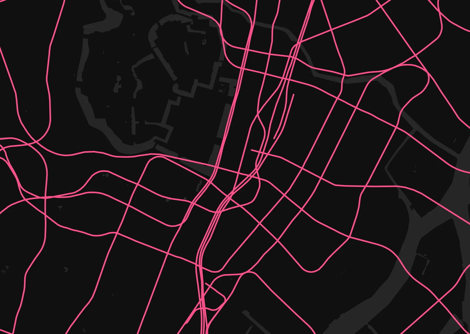
Every layer off except the railways and the water, on Noir. Tunnels are set to show in the Railways row, which brings back the metro lines that run under the city, so the whole network around the Imperial Palace comes out as one web.
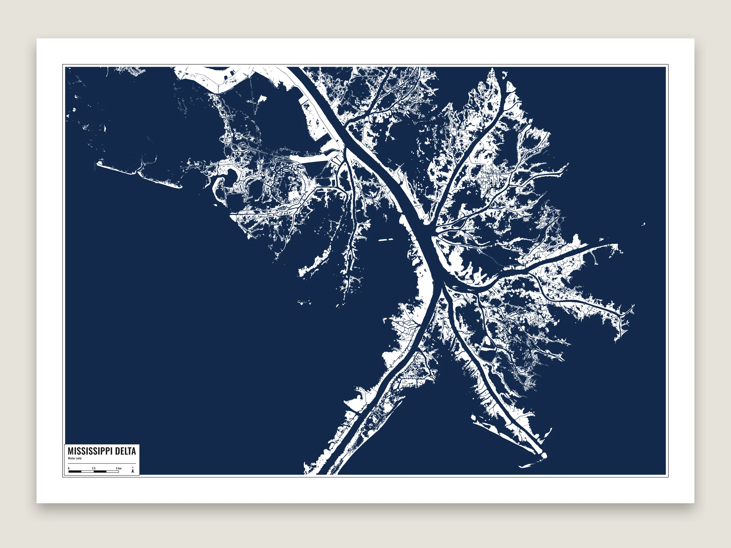
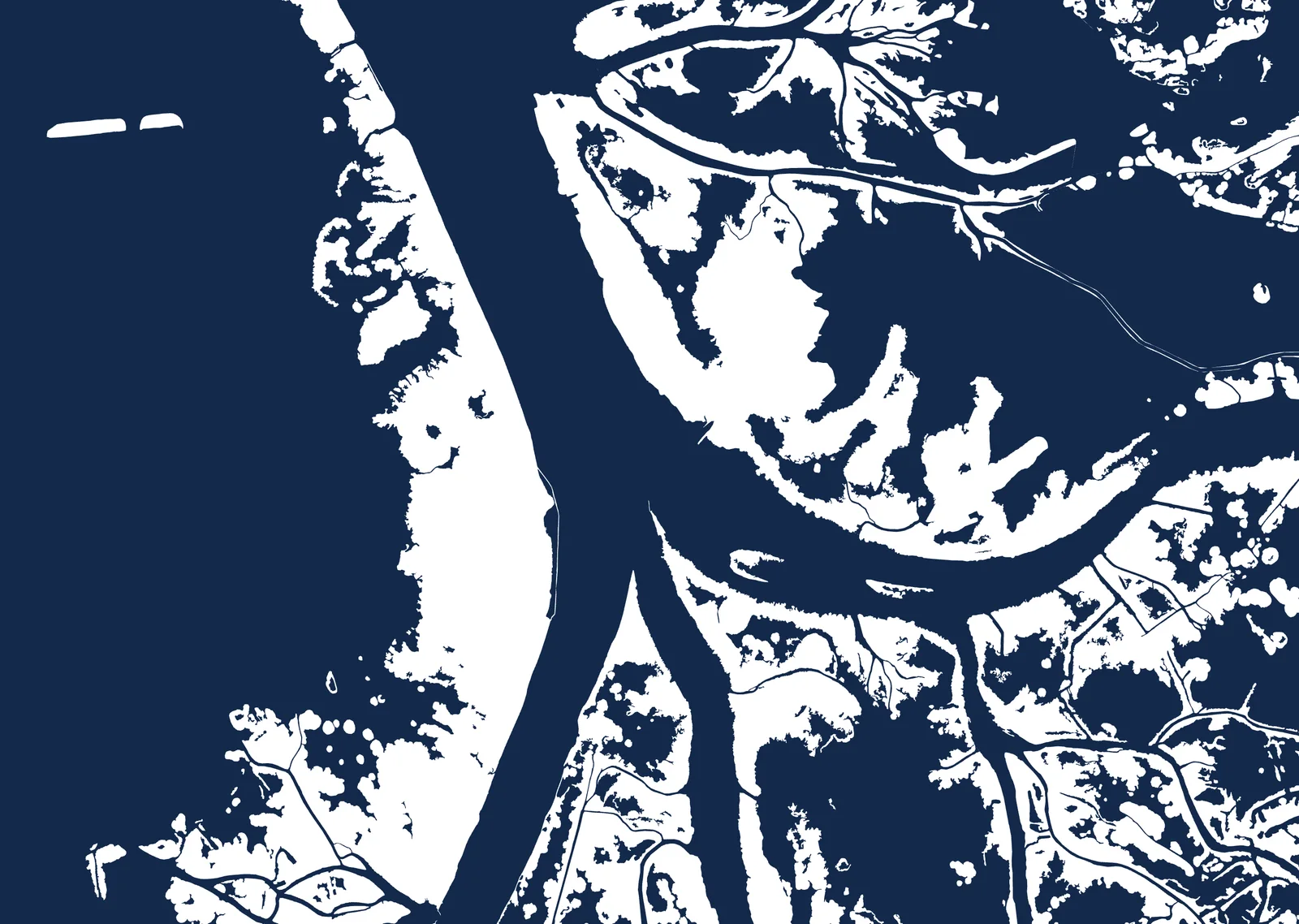
Only the water layers, filled in dark navy on the Minimal theme, so the land is the bare paper. The bird’s-foot delta at 1:156,000, with the river splitting at Head of Passes and the marsh breaking up into the Gulf.
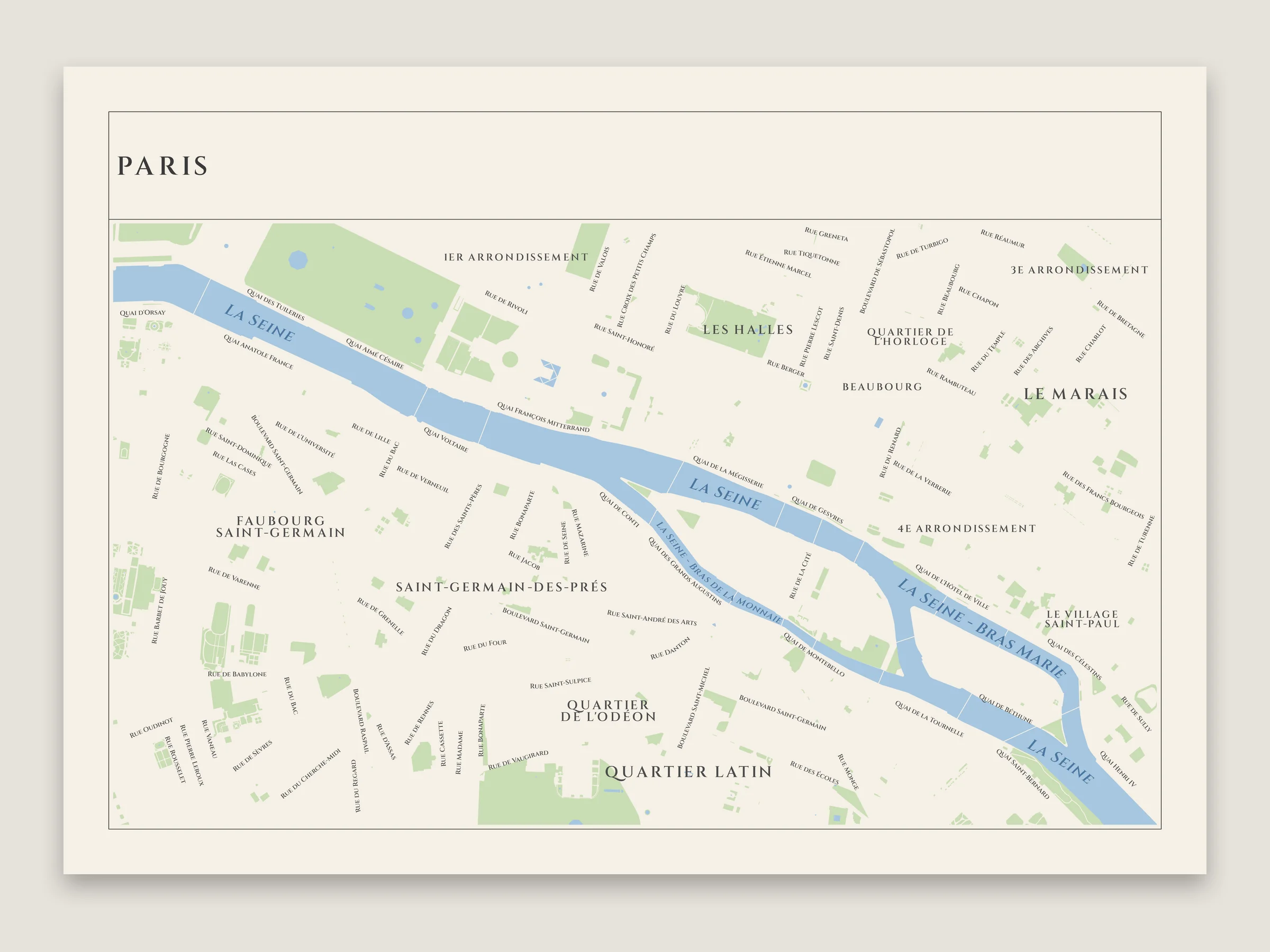
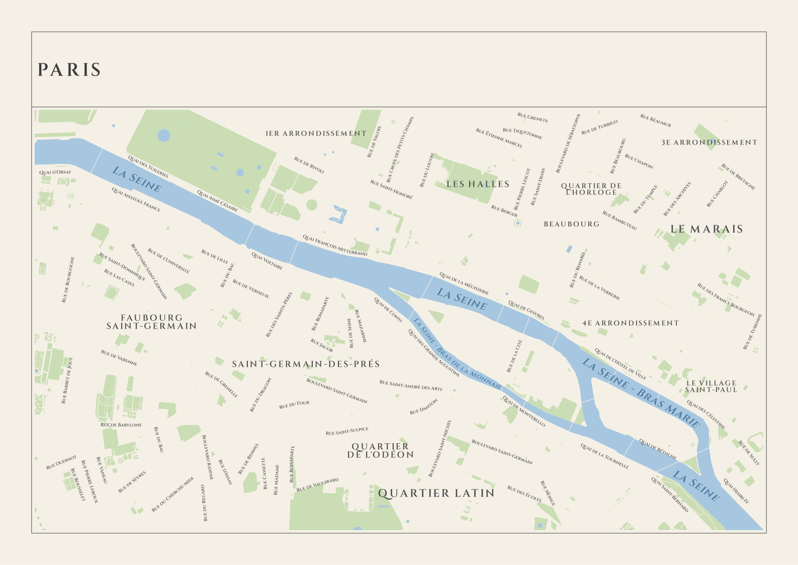
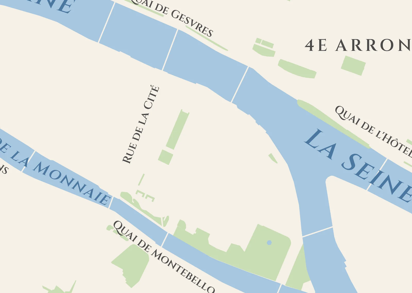
The streets are drawn in the paper’s color, so only their names show where they run. Water, parks and neighborhoods are named too, with nothing left out around the names. The Seine and the bridges over it are the only shapes besides the parks.
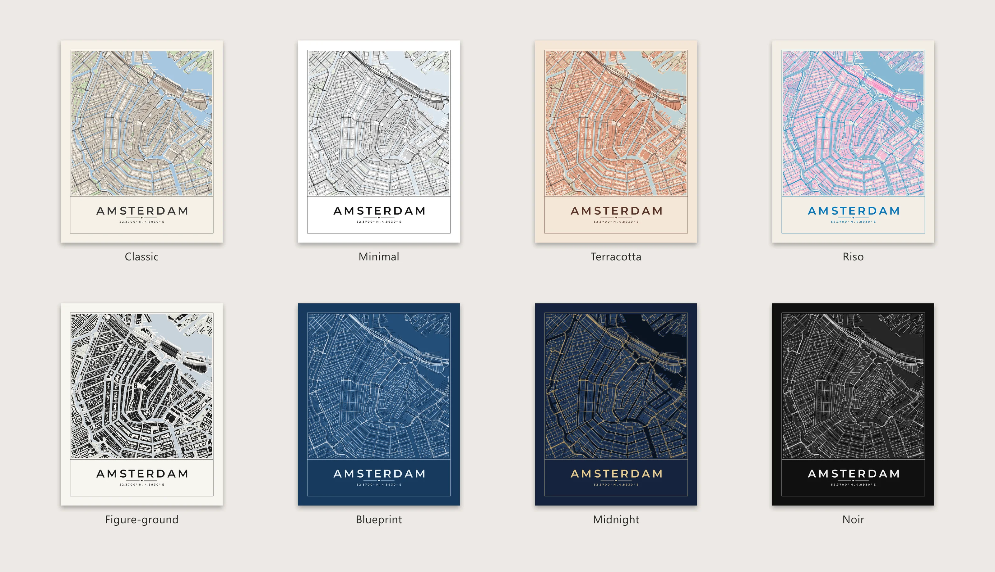
The same Amsterdam poster in all eight print themes.
Open in SVGmap: Classic Minimal Terracotta Riso Figure-ground Blueprint Midnight Noir
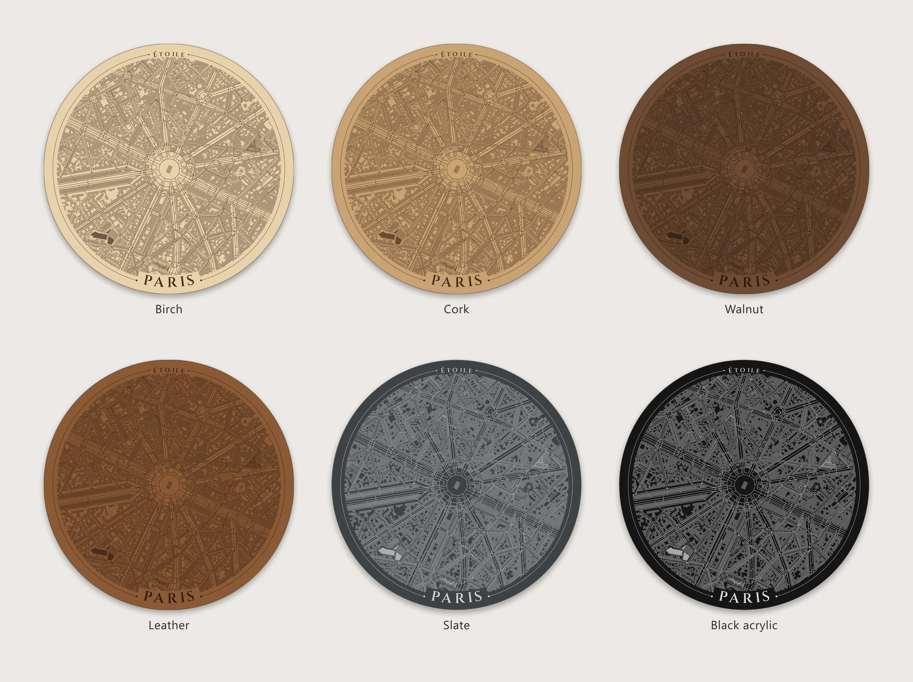
One coaster around the Arc de Triomphe on each material the laser preview has.
Open in SVGmap: Birch Cork Walnut Leather Slate Black acrylic
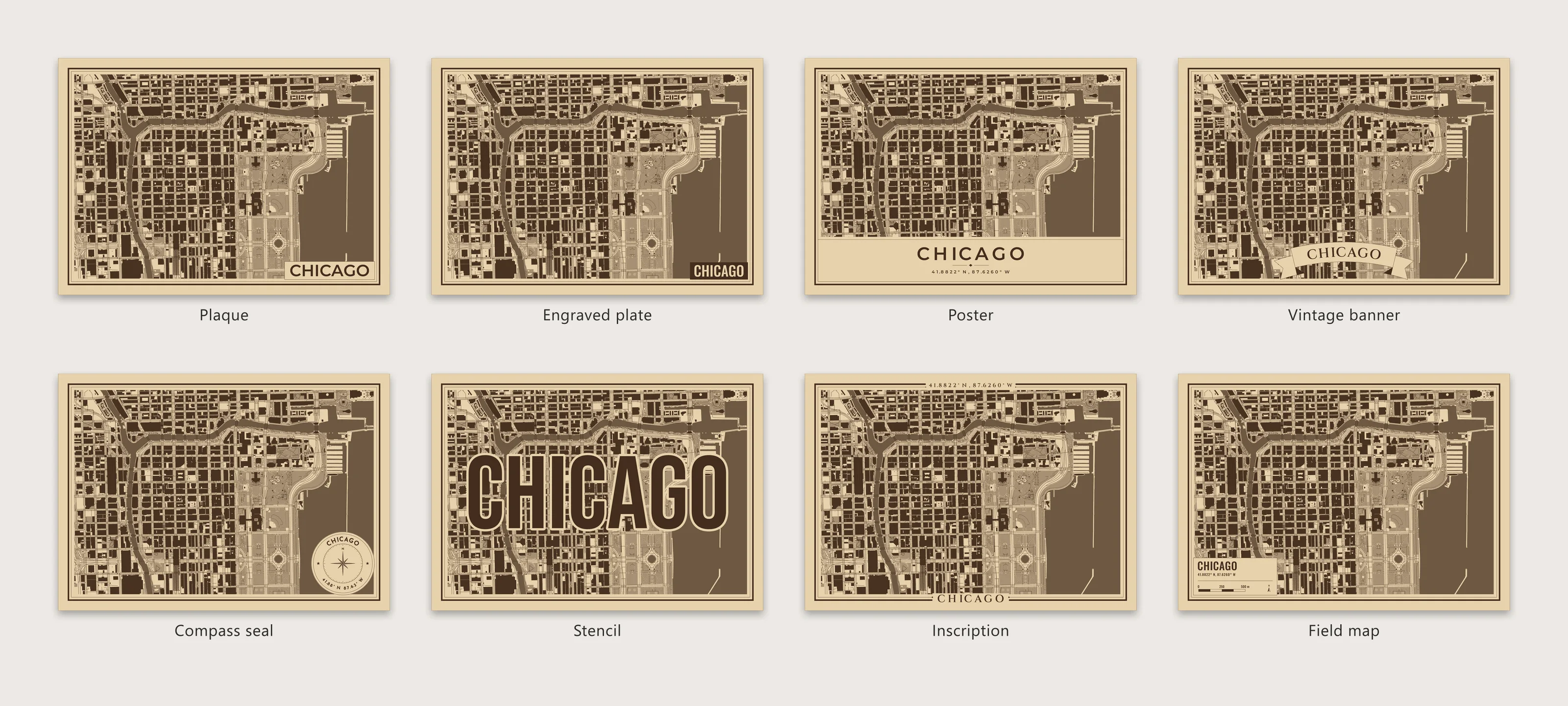
The title presets on the plaque the app starts with.
Open in SVGmap: Plaque Engraved plate Poster Vintage banner Compass seal Stencil Inscription Field map
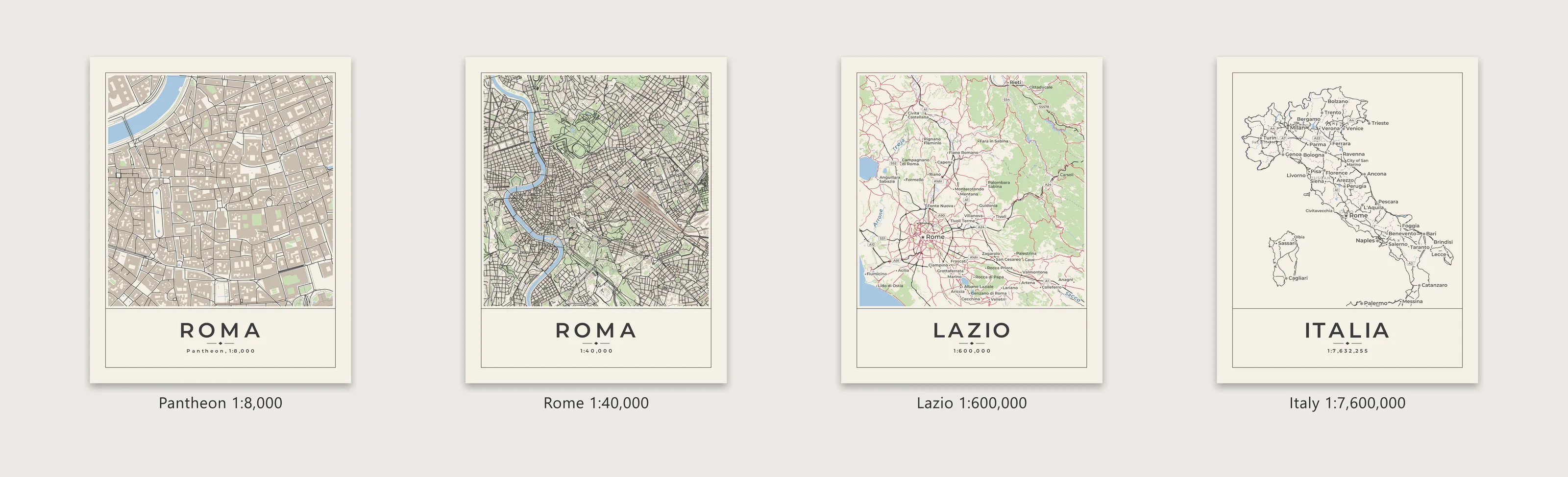
The Pantheon at 1:8,000 out to Italy at 1:7,600,000. Maps of a region use the tiles made for their scale, so they show the main roads and towns instead of every street.
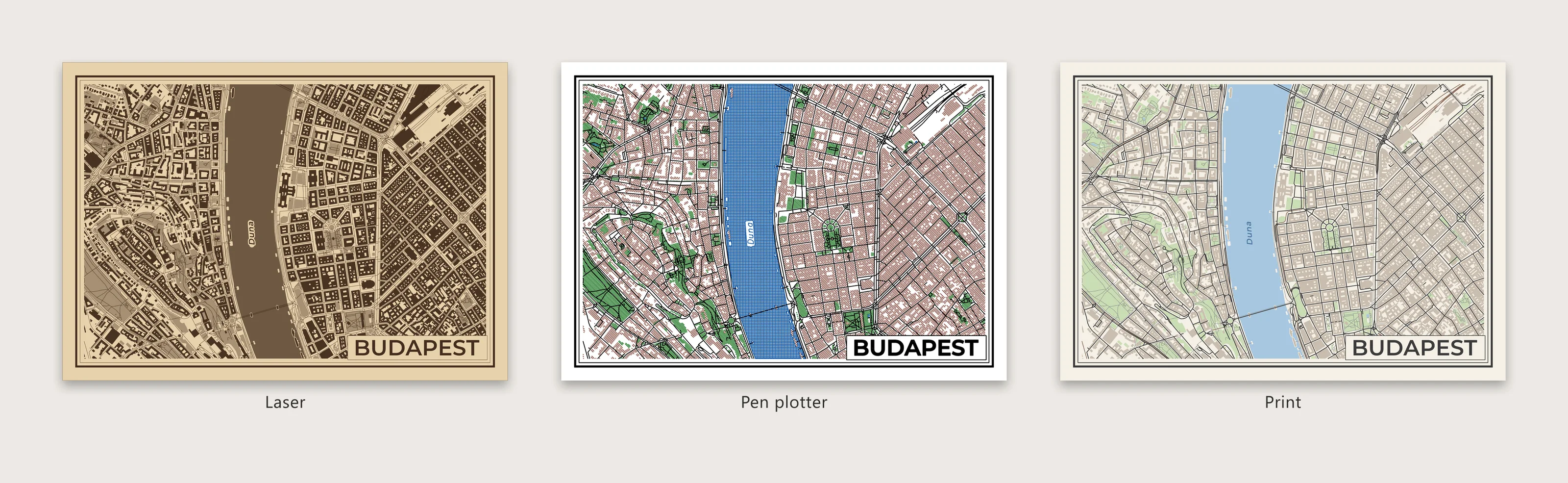
Budapest for a laser, a pen plotter and print. Only the output was changed.
Open in SVGmap: Laser Pen plotter Print